Root Creek Falls
Shasta County, California
Your visit at a glance
- Waterfall height
- Not recorded
- Location
- Shasta County, California
- Access status
- Partial guide: last section is an unofficial use trail to a precarious viewpoint
- The walk
- About 5 to 6 miles return
- Ground & access
- Moderate climb through forest on maintained trail. The last part is a faint, unmaintained use trail with a precarious viewpoint. Sources mention poison oak and rattlesnakes.
Hike Mt. Shasta describes taking the Pacific Crest Trail uphill from the Soda Creek exit to the Root Creek Trail junction, then following the Root Creek Trail to the creek. The official trail ends there. A faint unofficial use trail continues upstream on the south side of the creek to a small, exposed viewpoint of the falls below Castle Dome. Return the same way.
Plan your visit
Pacific Crest Trail trailhead at the Soda Creek exit to the Root Creek Falls viewpoint
Hike Mt. Shasta gives 5 miles total and Discover Siskiyou gives 6 miles out and back, both from the Soda Creek exit trailhead. The figures are from those guides, not measured here.
Moderate climb through forest on maintained trail. The last part is a faint, unmaintained use trail with a precarious viewpoint. Sources mention poison oak and rattlesnakes.
Where to start
Discover Siskiyou and Hike Mt. Shasta say to park at the Pacific Crest Trail trailhead on the west side of Interstate 5 at the Soda Creek exit. Space and any posted rules were not verified.
Timing & water
Open all year per Hike Mt. Shasta; best flow in spring. Current trail conditions not verified.
Before you go
The reviewed sources mention no fee for the Soda Creek trailhead; this was not confirmed. Starting instead from the Castle Dome Trail inside Castle Crags State Park requires an entry fee; the amount was not verified.
Visitor informationVisit sources
More waterfalls nearby
Within 40 straight-line miles. Road and trail distances will differ.
- Burstarse FallsPublished hiking route and trailhead documented; faint use trail to main dropSiskiyou County, CA2.6 miW
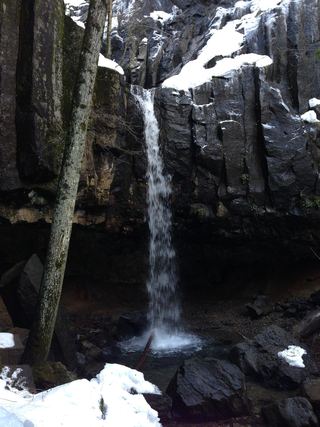 Hedge Creek FallsCity trail with documented trailhead parkingSiskiyou County, CA5.2 miNE
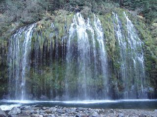 Mossbrae FallsPublic trail proposed; legal approach unverifiedSiskiyou County, CA5.5 miNE
- Faery FallsPublished hiking route and parking documented; steep final side trailSiskiyou County, CA6.1 miN
- Lewisia FallsShasta County, CA9.0 miSE
- Lower FallsResearched route and starting areaSiskiyou County, CA16 miE
- Mud Creek FallsPartial guide: distance to the rim vista not stated; distant view onlySiskiyou County, CA16 miNE
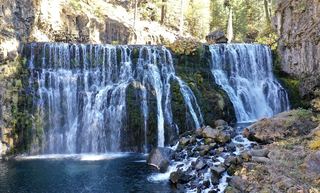 Upper FallsVehicle access closed October 5, 2026–May 1, 2027; winter walking approach unverified.Siskiyou County, CA17 miE
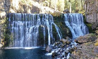 Middle FallsSeasonal road closure; winter walk unmeasuredSiskiyou County, CA17 miE