Burstarse Falls
Siskiyou County, California
Your visit at a glance
- Waterfall height
- Not recorded
- Location
- Siskiyou County, California
- Access status
- Published hiking route and trailhead documented; faint use trail to main drop
- The walk
- About 5 miles total
- Ground & access
- The Dog Trail climbs nearly 600 feet in half a mile. The PCT section is mostly even. Reaching the main falls needs scrambling along a faint use trail by the creek.
From the Dog trailhead, climb the Dog Trail for 0.5 mile to the Pacific Crest Trail. Turn west on the PCT and follow it about 1.75 miles, past Popcorn Spring, to the Burstarse Creek crossing. A ten-foot cascade is just above the crossing. To see the main falls, follow a faint use trail up the east side of the creek. Return the same way.
Plan your visit
Dog Trail and Pacific Crest Trail to Burstarse Falls
Hike Mt. Shasta lists a total length of 5 miles with 1,060 feet of elevation gain for this out-and-back hike. The last part to the main drop is a faint use trail and is not included in a separate figure.
The Dog Trail climbs nearly 600 feet in half a mile. The PCT section is mostly even. Reaching the main falls needs scrambling along a faint use trail by the creek.
Where to start
Take the Castella exit from I-5 and drive 3.3 miles west on Castle Creek Road to a clearing on the right marked with a PCT sign. The east half of the clearing is often used for target shooting; the sources advise parking on the west side, where the trail starts.
Timing & water
Flow is best in spring during snowmelt. Current trail conditions unknown.
Before you go
Current fees and reservation requirements unknown.
Visitor informationVisit sources
More waterfalls nearby
Within 40 straight-line miles. Road and trail distances will differ.
- Root Creek FallsPartial guide: last section is an unofficial use trail to a precarious viewpointShasta County, CA2.6 miE
- Faery FallsPublished hiking route and parking documented; steep final side trailSiskiyou County, CA5.6 miN
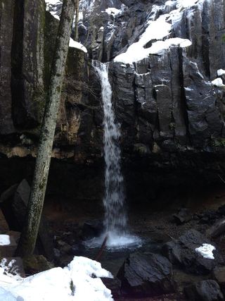 Hedge Creek FallsCity trail with documented trailhead parkingSiskiyou County, CA6.5 miNE
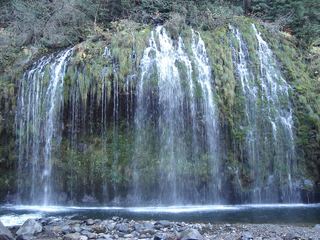 Mossbrae FallsPublic trail proposed; legal approach unverifiedSiskiyou County, CA6.7 miNE
- Lewisia FallsShasta County, CA12 miSE
- Mud Creek FallsPartial guide: distance to the rim vista not stated; distant view onlySiskiyou County, CA17 miNE
- Lower FallsResearched route and starting areaSiskiyou County, CA18 miE
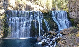 Upper FallsVehicle access closed October 5, 2026–May 1, 2027; winter walking approach unverified.Siskiyou County, CA19 miE
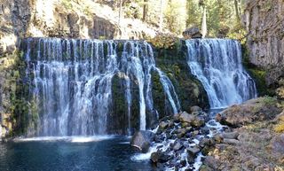 Middle FallsSeasonal road closure; winter walk unmeasuredSiskiyou County, CA19 miE