Weber Falls
Sierra County, California
Your visit at a glance
- Waterfall height
- Not recorded
- Location
- Sierra County, California
- Access status
- Official directions and parking documented; steep, unfenced gorge
- The walk
- About 500 feet each way
- Ground & access
- No developed trail. Steep, loose embankment. The Forest Service warns of an exceedingly steep gorge with slippery, crumbling cliffs and says it is not recommended for children.
Tahoe National Forest directions: take Highway 89 north of Truckee to Little Truckee Summit and turn toward Jackson Meadows on Road 07. About 6.5 miles in, watch for the Lake of the Woods sign; a few hundred feet after it, park in the boulder-lined pullout on the left. Walk directly down the embankment due south toward the sound of the water. The source names this feature Webber Falls; the queue spells it Weber Falls.
Plan your visit
Boulder-lined pullout on Road 07 (Jackson Meadows Road) down the embankment to Webber Falls
The Forest Service says the falls lie about 500 feet from the parking area. This is the stated walking distance, not measured here.
No developed trail. Steep, loose embankment. The Forest Service warns of an exceedingly steep gorge with slippery, crumbling cliffs and says it is not recommended for children.
Where to start
Boulder-lined roadside pullout on the left side of Road 07, a few hundred feet past the Lake of the Woods sign, per the Forest Service.
Timing & water
Strongest flow about March to June; by mid to late summer it can drop to a fine spray. Winter snow can block the road.
Before you go
Calexplornia lists no fees or permits. The Forest Service page lists none; not otherwise confirmed.
Visitor informationVisit sources
More waterfalls nearby
Within 40 straight-line miles. Road and trail distances will differ.
- Loves FallsApproach or parking partly unconfirmedSierra County, CA13 miNW
- Hackmans FallsSierra County, CA14 miW
- East Snow Mountain Falls2,198 ft (670 m) · Placer County, CA17 miS
- Frazier FallsApproach or parking partly unconfirmedSierra County, CA20 miNW
- Fern FallsPlumas County, CA21 miNW
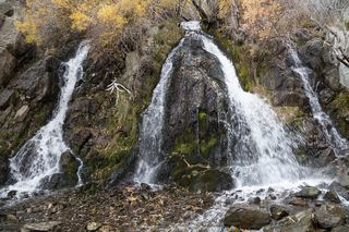 Lower King's Canyon WaterfallShort official trail route and trailhead documentedCarson City, NV38 miSE
- Jumbo FallsWashoe County, NV39 miE
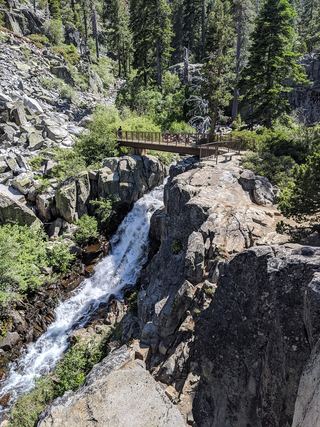 Upper Eagle FallsOfficial trailhead; seasonal parking typically closes mid-OctoberEl Dorado County, CA40 miS
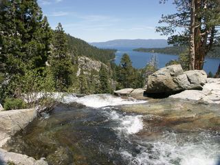 Lower Eagle FallsOfficial state park trailEl Dorado County, CA40 miS