Loves Falls
Sierra County, California
Your visit at a glance
- Waterfall height
- Not recorded
- Location
- Sierra County, California
- Access status
- Approach or parking partly unconfirmed
- The walk
- 0.5 mile to the bridge
- Ground & access
- Shaded maintained trail, not wheelchair accessible.
The geotourism page describes a half-mile walk from Highway 49 to Loves Falls bridge. A firsthand Sierra Rec visit reports bridge closure and a PCT detour. Current bridge status was not resolved; do not plan to cross it or use informal riverbank shortcuts.
Plan your visit
Pacific Crest Trail from Highway 49 to Loves Falls bridge
Only the stated source distance is supported; mapped proximity is not a walking distance.
Shaded maintained trail, not wheelchair accessible.
Where to start
Sierra Rec reports using the PCT pull-off across Highway 49. That account also reports the river bridge closed, so it does not establish current authorized bridge access. An alternate Wild Plum start has documented parking but its current route also requires confirmation.
Timing & water
Tourism describes year-round access but substantial winter snow.
Before you go
Unknown: current fees or reservation requirements were not established in the reviewed source.
Visitor informationVisit sources
More waterfalls nearby
Within 40 straight-line miles. Road and trail distances will differ.
- Hackmans FallsSierra County, CA1.8 miSW
- Frazier FallsApproach or parking partly unconfirmedSierra County, CA9.0 miN
- Fern FallsPlumas County, CA9.7 miN
- Weber FallsOfficial directions and parking documented; steep, unfenced gorgeSierra County, CA13 miSE
- East Snow Mountain Falls2,198 ft (670 m) · Placer County, CA25 miS
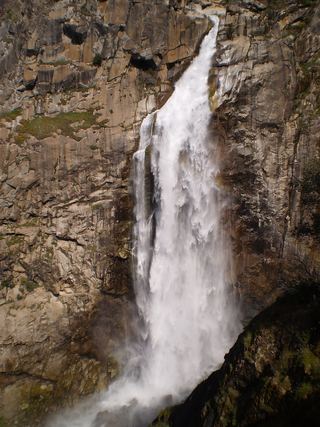 Feather FallsTrail reopened; campground closed410 ft (125 m) · Butte County, CA36 miW
- Curtain FallsPartial guide: trail length not published; base requires a river swimButte County, CA38 miW
- Indian FallsShort signed trail from a highway turnoutPlumas County, CA38 miNW