Feather Falls
Butte County, California
Your visit at a glance
- Waterfall height
- 410 ft (125 m)
- Location
- Butte County, California
- Access status
- Trail reopened; campground closed
- The walk
- Approximately 8 miles round trip
- Ground & access
- Fire-exposed trail with substantial climbing. Stay out of Fall River immediately above the waterfall.
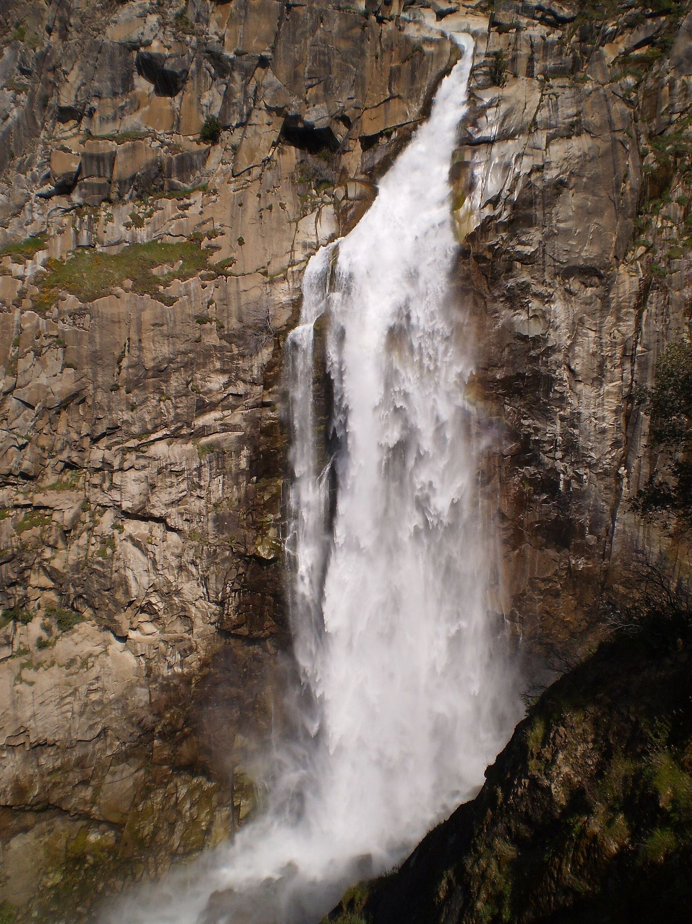
Photo credit
Photo: Podruznik at English Wikipedia, Public domain, via Wikimedia CommonsThe county tourism authority reports the trail reopened after 2025 restoration. The Forest Service still lists the campground closed.
Plan your visit
Feather Falls overlook loop
The tourism authority describes an approximately 8-mile loop; out-and-back choices are about 7 or 9 miles.
Fire-exposed trail with substantial climbing. Stay out of Fall River immediately above the waterfall.
Where to start
The tourism authority directs visitors via Lumpkin Road and 21N35Y to the trailhead parking lot.
Timing & water
Allow at least four to five hours; carry water and sun protection. Confirm current trail access while campground reconstruction continues.
Before you go
Current trailhead fee arrangements are not confirmed by these sources; verify with the Feather River Ranger District.
Visitor informationVisit sources
More waterfalls nearby
Within 40 straight-line miles. Road and trail distances will differ.
- Curtain FallsPartial guide: trail length not published; base requires a river swimButte County, CA2.1 miNW
- Hollow FallsShort reserve trail; Lands Pass required45 ft (13.7 m) · Butte County, CA15 miW
- Little Hollow FallsButte County, CA15 miW
- Schirmer Cascade200 ft (61 m) · Butte County, CA15 miW
- Schirmer Falls96 ft (29.3 m) · Butte County, CA15 miW
- Ravine Twin FallsPartial guide: unmarked cross-country route, and reserve boundaries along the route are not confirmed46 ft (14 m) · Butte County, CA15 miW
- Ravine FallsPublished reserve route and official parking documented; Lands Pass required76 ft (23.2 m) · Butte County, CA15 miW
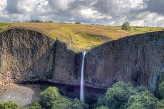 Phantom FallsApproach verified on the official map; paths are unmaintained.164 ft (50 m) · Butte County, CA15 miW
- Little Phantom FallsPartial guide: no coordinates published for this fall, and reserve boundaries along the route are not confirmed124 ft (37.8 m) · Butte County, CA15 miW