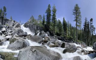
Lower King's Canyon Waterfall
Carson City, Nevada
Your visit at a glance
- Waterfall height
- Not recorded
- Location
- Carson City, Nevada
- Access status
- Short official trail route and trailhead documented
- The walk
- About 0.3 miles one way on the Waterfall Trail
- Ground & access
- Short single-track trail with uphill switchbacks.
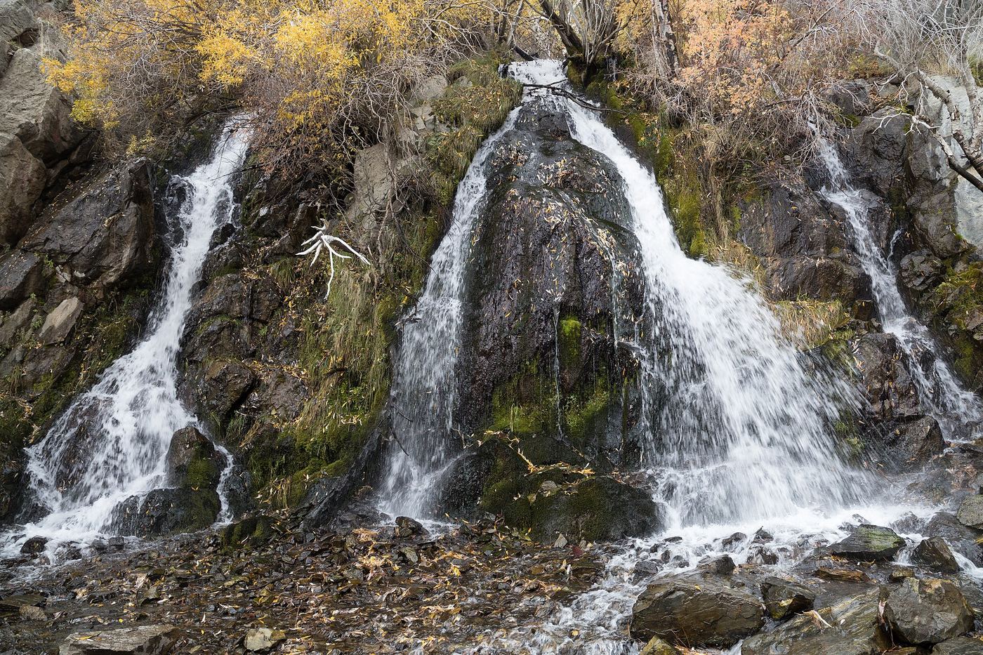
From the Kings Canyon trailhead on Kings Canyon Road, west of downtown Carson City, take the single-track, hikers-only Waterfall Trail. It switchbacks uphill past the junction with the North Kings Loop to the lower Kings Canyon waterfall on North Kings Canyon Creek, the most easily reached of the Kings Canyon falls. Return the same way, or take the 1.8-mile North Kings Loop for more views.
Plan your visit
Kings Canyon trailhead on Kings Canyon Road, Waterfall Trail to the lower Kings Canyon waterfall
Trailing Ahead gives the Waterfall Trail as 0.3 miles long from the waterfall trailhead to the lower fall.
Short single-track trail with uphill switchbacks.
Where to start
Kings Canyon trailhead on Kings Canyon Road, Carson City (Forest Service coordinates 39.153344, -119.815549). Paved parking and restrooms.
Timing & water
The Forest Service lists the trailhead season of use as May to October. The creek is a Carson City drinking water source.
Before you go
Run by the Forest Service with Carson City Parks, Recreation and Open Space. No fee is stated. Dogs are not allowed on the Waterfall Trail or the North Kings Loop under Carson City rules.
Visitor informationVisit sources
More waterfalls nearby
Within 40 straight-line miles. Road and trail distances will differ.
- Genoa FallsPublic trail system; moderate canyon hikeDouglas County, NV11 miS
- Jumbo FallsWashoe County, NV14 miNE
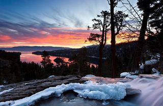 Eagle FallsLower Eagle Falls route verifiedEl Dorado County, CA21 miSW
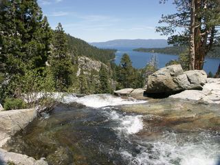 Lower Eagle FallsOfficial state park trailEl Dorado County, CA21 miSW
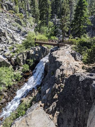 Upper Eagle FallsOfficial trailhead; seasonal parking typically closes mid-OctoberEl Dorado County, CA21 miSW
- Cascade FallsResearched route and starting areaEl Dorado County, CA21 miSW
- Modjeska FallsShort trail from a named trailhead; limited parkingEl Dorado County, CA24 miSW
- Horsetail FallsRoute and parking verified; conflicting fee/permit notices require confirmation.El Dorado County, CA28 miSW
 Bassi FallsPartial notes: Millionaire Trail approach documented; parking and distance convention unverified.El Dorado County, CA33 miSW