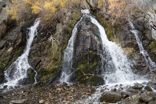
Horsetail Falls
El Dorado County, California
Your visit at a glance
- Waterfall height
- Not recorded
- Location
- El Dorado County, California
- Access status
- Route and parking verified; conflicting fee/permit notices require confirmation.
- The walk
- 1.5 miles one way to the base; approximately 3 miles return
- Ground & access
- Granite scrambling and indistinct sections; USFS notes trees obstructing the path.
Horsetail Falls near Twin Bridges is reached from the Pyramid Creek trail system.
Plan your visit
From Pyramid Creek Trailhead use the Pyramid Creek Loop toward the creek, then the Pyramid Creek Trail branch toward the wilderness boundary and falls. Return the same way; do not climb above the marked route.
USFS's destination table gives 1.5 miles one way to the base. Tourism's 4.2-mile return itinerary differs; this guide uses the agency base destination.
Granite scrambling and indistinct sections; USFS notes trees obstructing the path.
Where to start
Pyramid Creek Trailhead is on the north side of US 50 near Twin Bridges, 41 miles east of Placerville.
Timing & water
Reviewed October 27, 2026: USFS marks the gate open but lists winter closure; the current-condition note has no separate date.
Before you go
The page's current-condition note says no payment or day-use permit is needed, while general rules list a $10 parking fee and wilderness permits. Confirm at the trailhead.
Visitor informationVisit sources
More waterfalls nearby
Within 40 straight-line miles. Road and trail distances will differ.
- Modjeska FallsShort trail from a named trailhead; limited parkingEl Dorado County, CA3.8 miNE
- Cascade FallsResearched route and starting areaEl Dorado County, CA7.4 miN
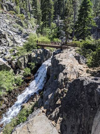 Upper Eagle FallsOfficial trailhead; seasonal parking typically closes mid-OctoberEl Dorado County, CA8.3 miN
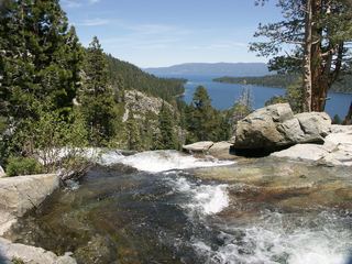 Lower Eagle FallsOfficial state park trailEl Dorado County, CA8.4 miN
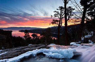 Eagle FallsLower Eagle Falls route verifiedEl Dorado County, CA8.5 miN
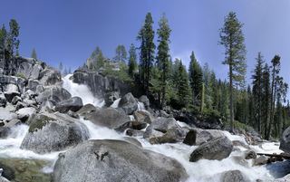 Bassi FallsPartial notes: Millionaire Trail approach documented; parking and distance convention unverified.El Dorado County, CA12 miW
- Genoa FallsPublic trail system; moderate canyon hikeDouglas County, NV18 miNE
- Bridal Veil FallsPartial guide: parking rules at the highway pullout are not confirmed by an official sourceEl Dorado County, CA20 miW
 Lower King's Canyon WaterfallShort official trail route and trailhead documentedCarson City, NV28 miNE