Cascade Falls
El Dorado County, California
Your visit at a glance
- Waterfall height
- Not recorded
- Location
- El Dorado County, California
- Access status
- Researched route and starting area
- The walk
- 1 mile one way; 2 miles round trip.
- Ground & access
- Rocky trail, described in the inventory as mostly level.
A rocky walk from Bayview reaches Cascade Falls. Seasonal parking dates depend on weather.
Plan your visit
Cascade Falls trail from Bayview Trailhead
1 mile one way; 2 miles round trip.
Rocky trail, described in the inventory as mostly level.
Where to start
Bayview Trailhead across Highway 89 from Inspiration Point; seasonal parking.
Timing & water
Typically mid-May through mid-October, weather dependent; page marked open when checked October 27, 2026.
Before you go
Current page lists a parking fee without an amount. Inventory says a wilderness permit is not needed for the falls route.
Visitor informationMore waterfalls nearby
Within 40 straight-line miles. Road and trail distances will differ.
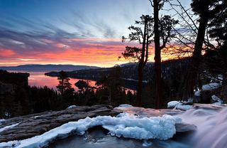 Eagle FallsLower Eagle Falls route verifiedEl Dorado County, CA1.3 miNW
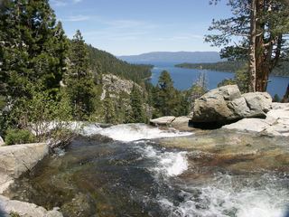 Lower Eagle FallsOfficial state park trailEl Dorado County, CA1.3 miNW
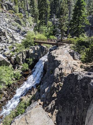 Upper Eagle FallsOfficial trailhead; seasonal parking typically closes mid-OctoberEl Dorado County, CA1.3 miNW
- Modjeska FallsShort trail from a named trailhead; limited parkingEl Dorado County, CA4.0 miS
- Horsetail FallsRoute and parking verified; conflicting fee/permit notices require confirmation.El Dorado County, CA7.4 miS
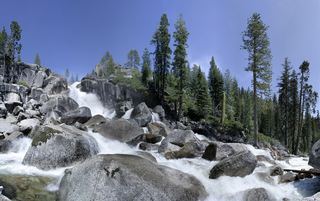 Bassi FallsPartial notes: Millionaire Trail approach documented; parking and distance convention unverified.El Dorado County, CA13 miW
- Genoa FallsPublic trail system; moderate canyon hikeDouglas County, NV13 miE
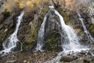 Lower King's Canyon WaterfallShort official trail route and trailhead documentedCarson City, NV21 miNE
- Bridal Veil FallsPartial guide: parking rules at the highway pullout are not confirmed by an official sourceEl Dorado County, CA24 miSW