Bridal Veil Falls
El Dorado County, California
Your visit at a glance
- Waterfall height
- Not recorded
- Location
- El Dorado County, California
- Access status
- Partial guide: parking rules at the highway pullout are not confirmed by an official source
- The walk
- Roadside viewpoint; a few steps from the pullout
- Ground & access
- Highway shoulder on a four-lane highway with fast traffic and blind curves. The source strongly advises against crossing Highway 50 on foot.
World of Waterfalls describes Bridal Veil Falls as a drive-up roadside waterfall of about 80 feet on Highway 50 between Pollock Pines and South Lake Tahoe. The eastbound side, toward South Lake Tahoe, has the wide pullout directly in front of the falls.
Plan your visit
Highway 50 eastbound pullout in front of Bridal Veil Falls
The visitor account describes standing in front of the falls after pulling into a large pullout. No measured walking distance is given.
Highway shoulder on a four-lane highway with fast traffic and blind curves. The source strongly advises against crossing Highway 50 on foot.
Where to start
Eastbound Highway 50 pullout, described in the visitor account as very wide. The westbound side has narrow shoulders. No official source was found that confirms parking rules at this pullout.
Timing & water
The visitor account (late June 2016) found the falls flowing but waning, and expected it to dry up in summer. Best flow is likely in spring.
Before you go
No fee or reservation is mentioned in the source. Current rules unverified.
Visitor informationVisit sources
More waterfalls nearby
Within 40 straight-line miles. Road and trail distances will differ.
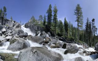 Bassi FallsPartial notes: Millionaire Trail approach documented; parking and distance convention unverified.El Dorado County, CA12 miNE
- Rock CreekEl Dorado County, CA16 miW
- Horsetail FallsRoute and parking verified; conflicting fee/permit notices require confirmation.El Dorado County, CA20 miE
- Modjeska FallsShort trail from a named trailhead; limited parkingEl Dorado County, CA23 miE
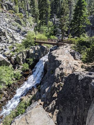 Upper Eagle FallsOfficial trailhead; seasonal parking typically closes mid-OctoberEl Dorado County, CA24 miNE
- Cascade FallsResearched route and starting areaEl Dorado County, CA24 miNE
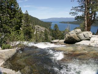 Lower Eagle FallsOfficial state park trailEl Dorado County, CA24 miNE
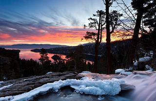 Eagle FallsLower Eagle Falls route verifiedEl Dorado County, CA24 miNE
- Codfish FallsEstablished trail; rough access roadPlacer County, CA30 miNW