Kings Creek Falls
Shasta County, California
Your visit at a glance
- Waterfall height
- Not recorded
- Location
- Shasta County, California
- Access status
- Conflicting access information
- The walk
- 2.3-mile loop; conditions table lists 2.8 miles return
- Ground & access
- Dirt, steep stone stairs and a log crossing. Cascades Foot section is uphill-only. Burned-area hazards remain.
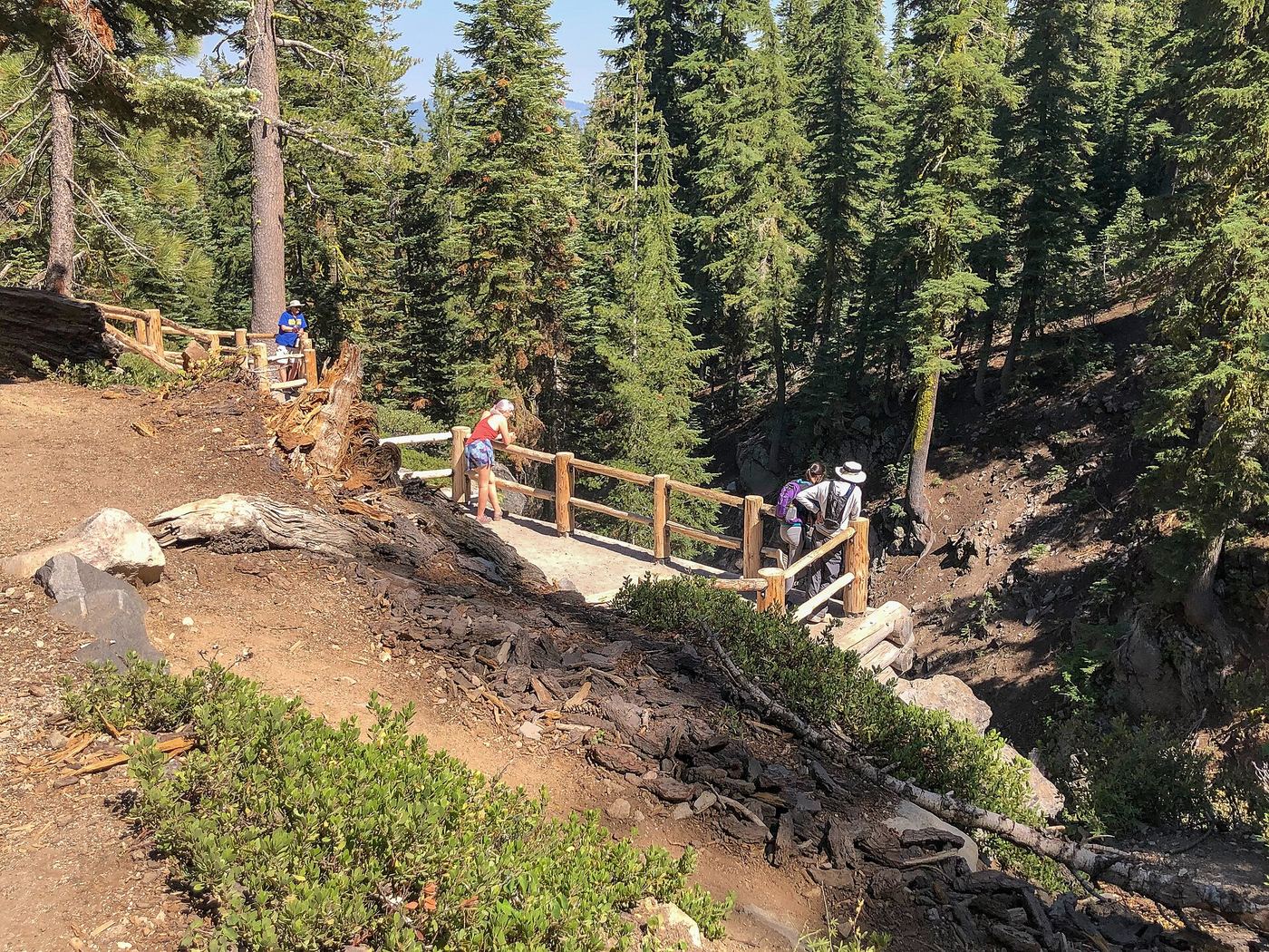
Descend to the fenced falls overlook. As checked October 27, 2026, the hike page says partly open for repairs, while the conditions table lists hiking access. Exact affected sections are unknown.
Plan your visit
Kings Creek Falls loop or out-and-back
Official sources disagree: the hike page describes a 2.3-mile loop; the July 18, 2026 conditions table lists 2.8 miles round trip without specifying alignment. Confirm the available route.
Dirt, steep stone stairs and a log crossing. Cascades Foot section is uphill-only. Burned-area hazards remain.
Where to start
Very limited parking at Kings Creek Falls Trailhead on the park highway, about 12 miles from the Southwest Entrance.
Timing & water
Usually June through October; access depends on the park highway and snow. Current repair information conflicts between official pages.
Before you go
The hike page lists no reservations and requires park admission or a valid pass.
Visitor informationVisit sources
More waterfalls nearby
Within 40 straight-line miles. Road and trail distances will differ.
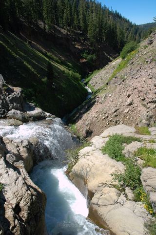 Mill Creek FallsOfficial park trailTehama County, CA4.0 miW
- Bluff FallsTehama County, CA5.8 miSW
- Deadhorse FallsTehama County, CA18 miSW
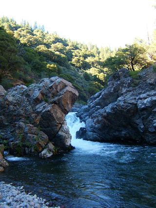 Deer Creek FallsRoute and parking researchedTehama County, CA18 miS
- Lower Deer Creek FallsPublished creekside route; crosses private land, respect posted signsTehama County, CA21 miS
- Bear Creek FallsShasta County, CA27 miW
- Clover Creek FallsShasta County, CA33 miNW
- Three FallsShasta County, CA36 miNW
- Pit River FallsPartial guide: overlook view from an older whitewater article; current overlook status not confirmedShasta County, CA36 miN