Mill Creek Falls
Tehama County, California
Your visit at a glance
- Waterfall height
- Not recorded
- Location
- Tehama County, California
- Access status
- Official park trail
- The walk
- 3.8 miles return (source figure)
- Ground & access
- Rocky and narrow in places with creek crossings; 1,850 feet of total elevation change. Passes burn hazards from the 2021 Dixie Fire. Moderately sun exposed.
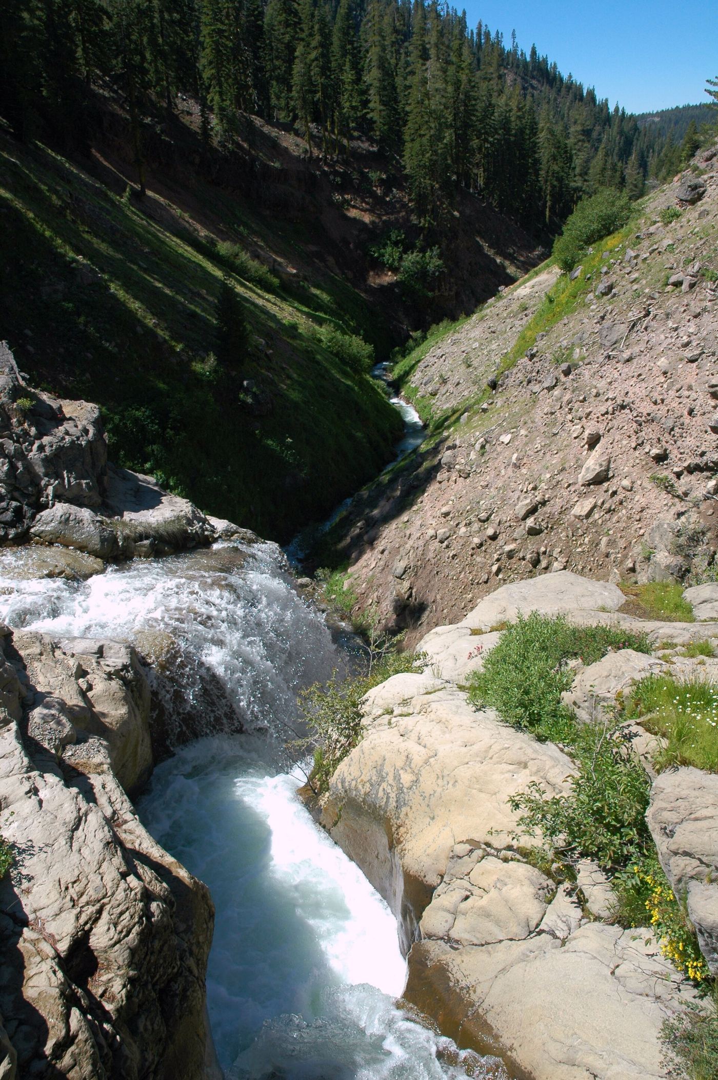
Start behind the amphitheater next to the southwest parking area in Lassen Volcanic National Park. The trail dips in and out of gullies, crosses West Sulphur Creek and reaches Mill Creek Falls, the tallest waterfall in the park at 75 feet. Return the same way.
Plan your visit
Southwest parking area (behind the amphitheater) on the Mill Creek Falls Trail
The National Park Service gives a round trip distance of 3.8 miles.
Rocky and narrow in places with creek crossings; 1,850 feet of total elevation change. Passes burn hazards from the 2021 Dixie Fire. Moderately sun exposed.
Where to start
Southwest parking area near the southwest entrance of the park.
Timing & water
Usually reached in summer and fall; wildflowers by July. A mountain lion was recently reported on the trail.
Before you go
Current park entrance fee not listed on the trail page; check the park fee page.
Visitor informationVisit sources
More waterfalls nearby
Within 40 straight-line miles. Road and trail distances will differ.
- Bluff FallsTehama County, CA2.2 miSW
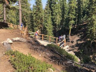 Kings Creek FallsConflicting access informationShasta County, CA4.0 miE
- Deadhorse FallsTehama County, CA14 miSW
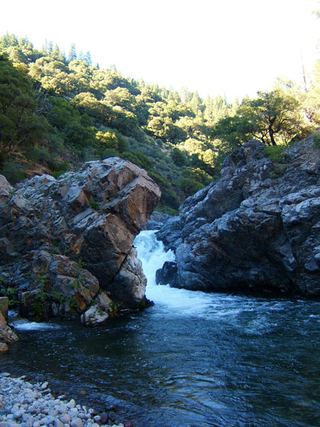 Deer Creek FallsRoute and parking researchedTehama County, CA17 miS
- Lower Deer Creek FallsPublished creekside route; crosses private land, respect posted signsTehama County, CA19 miS
- Bear Creek FallsShasta County, CA24 miW
- Clover Creek FallsShasta County, CA30 miNW
- Three FallsShasta County, CA34 miNW
- Montgomery Creek FallsPartial guide: land ownership and parking permission at the bridge are not confirmedShasta County, CA35 miNW