Lower Deer Creek Falls
Tehama County, California
Your visit at a glance
- Waterfall height
- Not recorded
- Location
- Tehama County, California
- Access status
- Published creekside route; crosses private land, respect posted signs
- The walk
- About 4.6 miles return (source figure)
- Ground & access
- Mostly shaded creekside trail. Overgrown grass near the gorge; watch for snakes. The trail crosses private land and a wildlife preserve.
Start at the small Red Bridge pullout on Highway 32. Follow the trail downstream beside Deer Creek. After roughly a mile it enters the Deer Creek Preserve and becomes more enclosed, then reaches a rock chute and fish ladder where Lower Deer Creek Falls drops nearly 20 feet. Return the same way.
Plan your visit
Red Bridge pullout on Highway 32 along the Deer Creek Trail to the fish ladder and Lower Deer Creek Falls
Sierra Rec Magazine lists 4.6 miles round trip, out and back.
Mostly shaded creekside trail. Overgrown grass near the gorge; watch for snakes. The trail crosses private land and a wildlife preserve.
Where to start
Small parking area at the Red Bridge pullout on Highway 32. No large sign.
Timing & water
Best April to June for flow and wildflowers.
Before you go
No fee is mentioned. Day use only. No camping or fires from 1.3 miles past the trailhead.
Visitor informationVisit sources
More waterfalls nearby
Within 40 straight-line miles. Road and trail distances will differ.
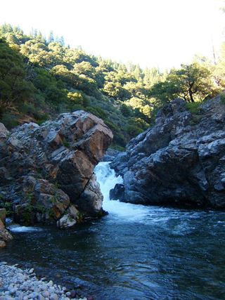 Deer Creek FallsRoute and parking researchedTehama County, CA4.3 miNE
- Deadhorse FallsTehama County, CA11 miNW
- Bluff FallsTehama County, CA17 miN
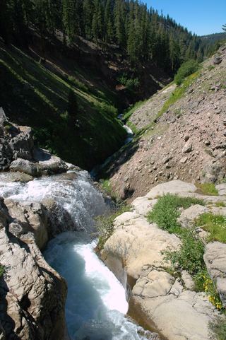 Mill Creek FallsOfficial park trailTehama County, CA19 miN
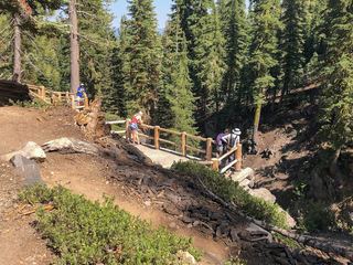 Kings Creek FallsConflicting access informationShasta County, CA21 miN
- Bear Creek FallsShasta County, CA32 miNW
- Indian FallsShort signed trail from a highway turnoutPlumas County, CA34 miE
- Curtain FallsPartial guide: trail length not published; base requires a river swimButte County, CA38 miSE
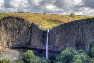 Phantom FallsApproach verified on the official map; paths are unmaintained.164 ft (50 m) · Butte County, CA39 miS