Deer Creek Falls
Tehama County, California
Your visit at a glance
- Waterfall height
- Not recorded
- Location
- Tehama County, California
- Access status
- Route and parking researched
- The walk
- Short trail; distance not published
- Ground & access
- The area is not maintained. The official page does not describe trail surface, gradient, steps or wheelchair accessibility.
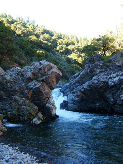
Photo credit
Photo: Kmmontandon at English Wikipedia, Public domain, via Wikimedia CommonsThe official Lassen National Forest page identifies a short trail marked by an informational kiosk off Highway 32, between Potato Patch and Alder Creek campgrounds.
Plan your visit
Short trail from the Highway 32 informational kiosk
The Forest Service describes a short trail from an informational kiosk to the falls but gives no measured distance or walking time.
The area is not maintained. The official page does not describe trail surface, gradient, steps or wheelchair accessibility.
Where to start
Use the small turnout on the south side of Highway 32 at the Deer Creek Falls sign, as identified by Explore Butte County. The Forest Service places the kiosk between Potato Patch and Alder Creek campgrounds. This is the short roadside falls approach, not the longer Lower Deer Creek Falls hike.
Timing & water
The Forest Service lists the dispersed area as generally open, with day-use hours of 6 a.m.–10 p.m. Seasonal road and trail conditions are not specified; confirm current access before travel.
Before you go
The official page does not specify fees or reservation requirements. Day use only; campfires and fishing at the falls are prohibited.
Visitor informationVisit sources
More waterfalls nearby
Within 40 straight-line miles. Road and trail distances will differ.
- Lower Deer Creek FallsPublished creekside route; crosses private land, respect posted signsTehama County, CA4.3 miSW
- Deadhorse FallsTehama County, CA12 miNW
- Bluff FallsTehama County, CA15 miN
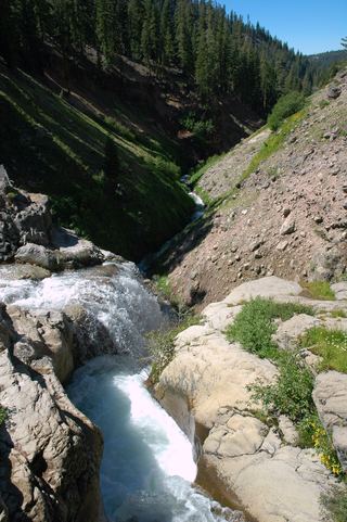 Mill Creek FallsOfficial park trailTehama County, CA17 miN
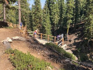 Kings Creek FallsConflicting access informationShasta County, CA18 miN
- Indian FallsShort signed trail from a highway turnoutPlumas County, CA31 miE
- Bear Creek FallsShasta County, CA32 miNW
- Curtain FallsPartial guide: trail length not published; base requires a river swimButte County, CA39 miS