Santa Ynez Falls
Los Angeles County, California
Your visit at a glance
- Waterfall height
- Not recorded
- Location
- Los Angeles County, California
- Access status
- Partial guide: route description predates the Palisades Fire; post-fire trail condition unverified
- The walk
- About 1.25 miles each way; 2.5 miles round trip
- Ground & access
- Mostly level with many creek crossings, rock-hopping and some scrambling near the falls. Poison oak is common. Ropes above the falls are not part of this route. Post-fire trail condition was not confirmed.
From the gate on Vereda de la Montura, follow the single-track trail up Santa Ynez Canyon with several creek crossings. At a junction 0.6 miles in, the trail to the left goes to Trippet Ranch; go right, cross the creek and turn left upstream. The canyon narrows; rock-hop and climb a few hundred feet to the falls. Return the same way. Hikespeak describes the route before the January 2025 Palisades Fire.
Plan your visit
Vereda de la Montura trailhead in Pacific Palisades up Santa Ynez Canyon to Santa Ynez Falls
Hikespeak gives a 2.5-mile round trip with about 250 feet of elevation change. The one-way figure is half of that.
Mostly level with many creek crossings, rock-hopping and some scrambling near the falls. Poison oak is common. Ropes above the falls are not part of this route. Post-fire trail condition was not confirmed.
Where to start
Street parking in permitted areas on Vereda de la Montura, off Palisades Drive about 2.4 to 2.5 miles from Sunset Boulevard. The trailhead is on the east side of the Camino de Yatasto intersection.
Timing & water
The State Parks closure order effective June 12, 2026 reopened Topanga State Park backcountry trails except a listed set; Santa Ynez Canyon is not on that list. The falls are small outside the rainy season.
Before you go
Hikespeak says no fee or permit is required at this street trailhead. Dogs are not allowed in Topanga State Park.
Visitor informationVisit sources
More waterfalls nearby
Within 40 straight-line miles. Road and trail distances will differ.
- Owl FallsLos Angeles County, CA1.8 miSW
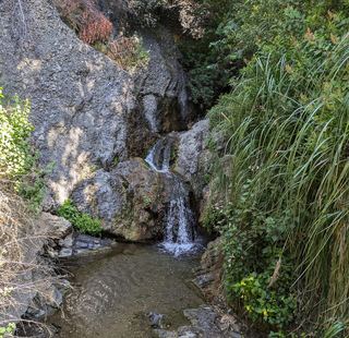 Temescal FallsLos Angeles County, CA2.5 miSE
- Escondido Falls (Upper)Los Angeles County, CA13 miW
- Escondido Falls (Lower)Official MRCA park route; upper falls closed to the publicLos Angeles County, CA13 miW
- Whitney Canyon WaterfallsVerified parking-to-waterfall route; seasonal waterfallLos Angeles County, CA20 miN
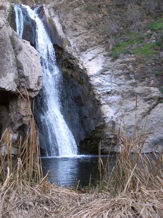 Paradise FallsSigned park trail; check current COSCA closures70 ft (21.4 m) · Ventura County, CA21 miNW
- Sycamore FallsOfficial brochure route and trailhead parking documentedVentura County, CA22 miW
- Trail Canyon FallsTrailhead parking identified; gate and alternative parking need confirmationLos Angeles County, CA24 miNE
- Brown Mountain Dam WaterfallPublished hiking route and parking documented; stream crossingsLos Angeles County, CA24 miNE