Chilnualna Fall
Mariposa County, California
Your visit at a glance
- Waterfall height
- Not recorded
- Location
- Mariposa County, California
- Access status
- Official NPS trail and trailhead
- The walk
- 8.2 miles return
- Ground & access
- Very challenging, steep trail with 2,400 feet of gain. No pets or bicycles.
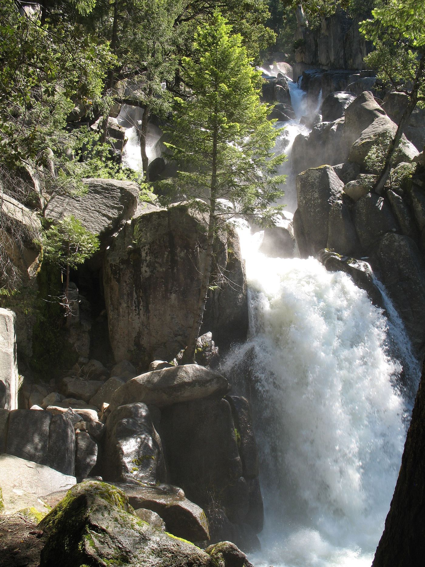
Start at Chilnualna Falls Trailhead near the end of Chilnualna Falls Road in Wawona. The trail follows Chilnualna Creek past the first cascade at 0.25 mile, then climbs switchbacks with views over Wawona to the five large cascades above the basin. Allow 5 to 7 hours. Return the same way.
Plan your visit
Chilnualna Falls Trailhead, Wawona, to the upper Chilnualna Fall cascades
NPS gives 8.2 miles (13 km) round-trip with 2,400 feet of gain to the falls. Source figure.
Very challenging, steep trail with 2,400 feet of gain. No pets or bicycles.
Where to start
Trailhead parking area near the end of Chilnualna Falls Road, with a vault toilet and animal-safe food storage.
Timing & water
Flows year-round; peak flow is typically around May.
Before you go
Yosemite entrance fee applies (private vehicle $35, valid seven days). Check NPS for any reservation requirement in force.
Visitor informationVisit sources
More waterfalls nearby
Within 40 straight-line miles. Road and trail distances will differ.
 Chilnualna Creek CascadesPartial guide: exact cascade position on the route not confirmedMariposa County, CA0.3 miNE
- Lower Chilnualna FallsOfficial NPS trailhead; short steep walkMariposa County, CA1.2 miSW
- Alder Creek FallsPartial: parking at the trailheads is not described by NPSMariposa County, CA3.0 miNW
- Red Rock FallsPublished trail route and roadside trailhead documented; bridge condition near start unconfirmedMadera County, CA9.0 miS
- Corlieu FallsNational forest trail from a highway turnoutMadera County, CA10 miS
 Silver Strand FallsPartial guide: viewpoint from a travel company guide, not confirmed by NPS574 ft (175 m) · Mariposa County, CA10 miN
- Chinquapin FallsMariposa County, CA10 miNW
 Bridalveil FallSource-reviewed route and parking617 ft (188 m) · Mariposa County, CA11 miN
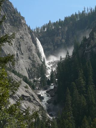 Illilouette FallPublished trail route documented; Glacier Point Road open when checked361 ft (110 m) · Mariposa County, CA11 miN