Red Rock Falls
Madera County, California
Your visit at a glance
- Waterfall height
- Not recorded
- Location
- Madera County, California
- Access status
- Published trail route and roadside trailhead documented; bridge condition near start unconfirmed
- The walk
- About 1.5 miles each way; 3 miles round trip
- Ground & access
- Gentle trail along the old flume route with about 300 feet of climbing per YosemiteHikes. YosemiteHikes posted an undated alert that a bridge near the start of the Red Rock Falls trail had washed out and been replaced by a makeshift crossing with a rope; its current state is unknown.
From the Lewis Creek trailhead turnout on Highway 41, walk down the wide trail to the signed junction about 100 yards in. Turn left (upstream) on the Lewis Creek Trail, which follows an old lumber flume route. Just before Red Rock Falls there is a short climb; a side path drops about 200 feet to the top of the falls, with a further side path to the base. Return the same way.
Plan your visit
Lewis Creek Trail from the Highway 41 trailhead upstream to Red Rock Falls
YosemiteHikes gives 3 miles round trip to Red Rock Falls. The one-way figure is half of that. The 3.7-mile figure in the trail listing combines both falls and is not used.
Gentle trail along the old flume route with about 300 feet of climbing per YosemiteHikes. YosemiteHikes posted an undated alert that a bridge near the start of the Red Rock Falls trail had washed out and been replaced by a makeshift crossing with a rope; its current state is unknown.
Where to start
Paved turnout on the east side of Highway 41, 7.3 miles north of Oakhurst and about 7 miles south of the Yosemite south entrance. The lot holds about a dozen cars; an overflow turnout is a tenth of a mile before it.
Timing & water
Flow is best in spring. Check the creek crossing near the start before relying on it.
Before you go
Hikespeak says no permit is required and parking along Highway 41 is free. Not confirmed with the Forest Service.
Visitor informationVisit sources
More waterfalls nearby
Within 40 straight-line miles. Road and trail distances will differ.
- Corlieu FallsNational forest trail from a highway turnoutMadera County, CA1.4 miSE
- Angel FallsResearched route and starting areaMadera County, CA7.5 miSE
- Lower Chilnualna FallsOfficial NPS trailhead; short steep walkMariposa County, CA8.1 miN
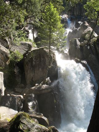 Chilnualna FallOfficial NPS trail and trailheadMariposa County, CA9.0 miN
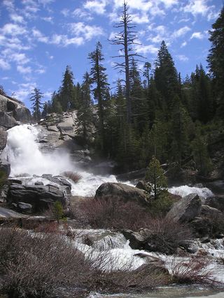 Chilnualna Creek CascadesPartial guide: exact cascade position on the route not confirmedMariposa County, CA9.2 miN
- Alder Creek FallsPartial: parking at the trailheads is not described by NPSMariposa County, CA11 miN
- Camino FallsMadera County, CA12 miE
- Whisky FallsShort approach described; designated parking unknownMadera County, CA15 miSE
- Chinquapin FallsMariposa County, CA17 miN