Corlieu Falls
Madera County, California
Your visit at a glance
- Waterfall height
- Not recorded
- Location
- Madera County, California
- Access status
- National forest trail from a highway turnout
- The walk
- Under 1 mile return
- Ground & access
- Steps and steep switchbacks. The climb back to the highway is steeper than the way down. No bikes or horses.
Start from the paved turnout on the east side of Highway 41, 7.3 miles north of Oakhurst. Take the wide trail at the north end of the turnout and pass the gate. At the signed T-junction after a tenth of mile, turn right on Lewis Creek Trail downstream. Steps and switchbacks lead to the brink of the falls at a quarter mile. Continue down the steep steps, bear left at the split, and reach the wooden viewing platform near the base. Return the same way, uphill.
Plan your visit
Highway 41 turnout 7.3 miles north of Oakhurst, Lewis Creek Trail downstream to Corlieu Falls
Hikespeak puts the brink of the falls at a quarter mile and the viewing platform about 0.05 mile further. The return figure is derived from those distances.
Steps and steep switchbacks. The climb back to the highway is steeper than the way down. No bikes or horses.
Where to start
Paved turnout on the east side of Highway 41, 7.3 miles north of Oakhurst; overflow at a turnout by the 4,000-foot elevation sign.
Timing & water
Best in spring. Current trail conditions unverified.
Before you go
Hikespeak says no permit is required and parking along Highway 41 is free.
Visitor informationVisit sources
More waterfalls nearby
Within 40 straight-line miles. Road and trail distances will differ.
- Red Rock FallsPublished trail route and roadside trailhead documented; bridge condition near start unconfirmedMadera County, CA1.4 miNW
- Angel FallsResearched route and starting areaMadera County, CA6.2 miSE
- Lower Chilnualna FallsOfficial NPS trailhead; short steep walkMariposa County, CA9.3 miN
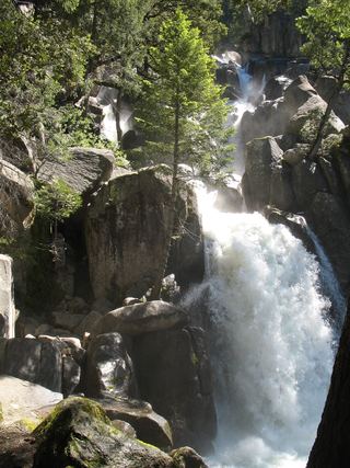 Chilnualna FallOfficial NPS trail and trailheadMariposa County, CA10 miN
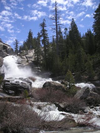 Chilnualna Creek CascadesPartial guide: exact cascade position on the route not confirmedMariposa County, CA10 miN
- Camino FallsMadera County, CA11 miE
- Alder Creek FallsPartial: parking at the trailheads is not described by NPSMariposa County, CA12 miN
- Whisky FallsShort approach described; designated parking unknownMadera County, CA13 miSE
- Chinquapin FallsMariposa County, CA19 miNW