Angel Falls
Madera County, California
Your visit at a glance
- Waterfall height
- Not recorded
- Location
- Madera County, California
- Access status
- Researched route and starting area
- The walk
- Waterfall-specific distance unknown.
- Ground & access
- Moderate to steep trail; extremely slippery rocks and swirling pools. Stay on the trail.
The official Willow Creek page names Angel Falls and Devils Slide as the trail’s waterfall destinations.
Plan your visit
Willow Creek Trail from Bass Lake parking
2.7 miles describes the entire trail between Bass Lake parking and McLeod Flat Road, not the walk to Angel Falls.
Moderate to steep trail; extremely slippery rocks and swirling pools. Stay on the trail.
Where to start
Willow Creek parking off Road 274, or the access beside Falls Day Use parking on North Shore Road.
Timing & water
Season and current trail conditions not established by the reviewed source.
Before you go
Parking fee required; current amount not stated.
Visitor informationVisit sources
More waterfalls nearby
Within 40 straight-line miles. Road and trail distances will differ.
- Corlieu FallsNational forest trail from a highway turnoutMadera County, CA6.2 miNW
- Red Rock FallsPublished trail route and roadside trailhead documented; bridge condition near start unconfirmedMadera County, CA7.5 miNW
- Whisky FallsShort approach described; designated parking unknownMadera County, CA8.0 miSE
- Camino FallsMadera County, CA10 miNE
- Lower Chilnualna FallsOfficial NPS trailhead; short steep walkMariposa County, CA15 miN
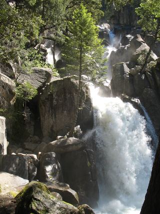 Chilnualna FallOfficial NPS trail and trailheadMariposa County, CA16 miN
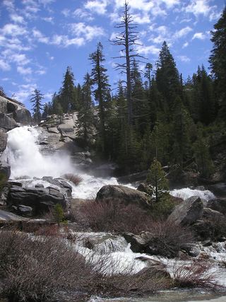 Chilnualna Creek CascadesPartial guide: exact cascade position on the route not confirmedMariposa County, CA16 miN
- Stevenson Creek FallsPartial guide: parking at the gate and walking permission confirmed only by visitor accountsFresno County, CA17 miSE
- Alder Creek FallsPartial: parking at the trailheads is not described by NPSMariposa County, CA18 miN