Sonoma Creek Falls
Sonoma County, California
Your visit at a glance
- Waterfall height
- Not recorded
- Location
- Sonoma County, California
- Access status
- Official park waterfall route and fee documented
- The walk
- 0.45 miles return (lower Canyon Trail) or 0.8 miles return (upper Canyon Trail)
- Ground & access
- Steep sections with stairs. Lower route about 40 feet of elevation change; upper route about 400 feet.
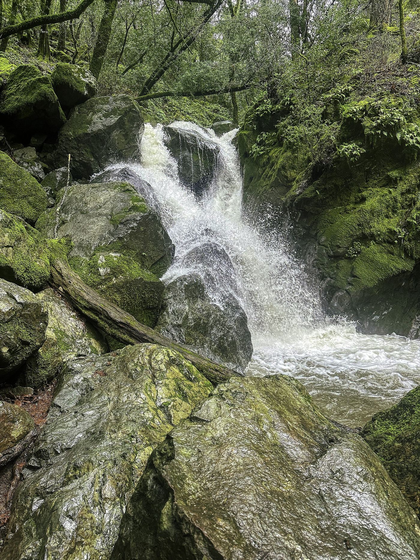
The park waterfall map gives two short routes. Lower Canyon: about 1/4 mile past the green gate at the park entrance, use the gravel pullouts marked Waterfall Parking. Upper Canyon: park at the upper Canyon lot, 300 yards before the entry kiosk, take the steep Canyon Trail with about 100 stairs, and turn left before the bridge on the small trail to the falls. Return the same way.
Plan your visit
Sugarloaf Ridge State Park Canyon trailhead to Sonoma Creek Falls
The park waterfall map gives 0.45 miles round trip on the lower Canyon Trail and 0.8 miles round trip on the upper Canyon Trail. The Pony Gate-Canyon Loop is 2 miles.
Steep sections with stairs. Lower route about 40 feet of elevation change; upper route about 400 feet.
Where to start
Pullouts marked Waterfall Parking and Fee Area on Adobe Canyon Road, or the upper Canyon lot. The map says there is no free parking along Adobe Canyon Road.
Timing & water
Seasonal waterfall, best after winter rain.
Before you go
Day-use pass required without an annual pass. The park lists vehicle entry at $10 regular and $8 senior, student or military.
Visitor informationVisit sources
More waterfalls nearby
Within 40 straight-line miles. Road and trail distances will differ.
- Linda FallsPartial guide: trail from the kiosk to the falls not describedNapa County, CA9.1 miNE
- Haraszthy FallsSonoma County, CA12 miSE
- Green Valley FallsSolano County, CA22 miSE
- Buck Gulch FallsPartial guide: path crosses an easement onto ranch land; parking not confirmedMarin County, CA26 miS
- Stairstep FallsPublished trail route and roadside parking documented; fee at the pullout unconfirmedMarin County, CA30 miS
- Roy's RifflesMarin County, CA30 miS
- Cascade FallsPublished trail log and parking documented; limited residential parkingMarin County, CA32 miS
- Little Carson FallsSigned water district trailMarin County, CA33 miS
- Dawn FallsPublished hiking route and street parking documentedMarin County, CA35 miS