Stairstep Falls
Marin County, California
Your visit at a glance
- Waterfall height
- Not recorded
- Location
- Marin County, California
- Access status
- Published trail route and roadside parking documented; fee at the pullout unconfirmed
- The walk
- About 1.1 to 1.3 miles each way; not exactly measured
- Ground & access
- Gradual forest climb. Hiking Project says Bill's Trail reopened to all users on April 16, 2020 after reconstruction; the falls spur is for hikers only.
From the pullout, walk up paved Devil's Gulch Road about 100 yards and take the Devil's Gulch Trail on the right beside the creek. At the junction by a large hollow redwood, cross the bridge and turn left on Bill's Trail at the T-junction. Climb for a little less than a mile, cross a bridge and take the short pedestrian-only spur to the falls. Return the same way.
Plan your visit
Devil's Gulch pullout on Sir Francis Drake Boulevard by Bill's Trail to Stairstep Falls
Hiking Project gives about 200 yards from the pullout to the bridge and a little less than a mile on Bill's Trail to the falls spur. The 2011 account saw a sign giving 1.2 miles to Stairstep Falls at the start of Bill's Trail. The total is estimated from these.
Gradual forest climb. Hiking Project says Bill's Trail reopened to all users on April 16, 2020 after reconstruction; the falls spur is for hikers only.
Where to start
Dirt pullout on Sir Francis Drake Boulevard across from the Devil's Gulch turnoff in Samuel P. Taylor State Park.
Timing & water
The falls are best in the wet winter months. Coho salmon spawn in the creek in winter; keep quiet and stay on the trail.
Before you go
California State Parks lists an $8 vehicle day-use fee for the park. Whether it applies at the roadside Devil's Gulch pullout was not confirmed.
Visitor informationVisit sources
More waterfalls nearby
Within 40 straight-line miles. Road and trail distances will differ.
- Roy's RifflesMarin County, CA3.6 miSE
- Little Carson FallsSigned water district trailMarin County, CA6.2 miSE
- Cascade FallsPublished trail log and parking documented; limited residential parkingMarin County, CA6.4 miSE
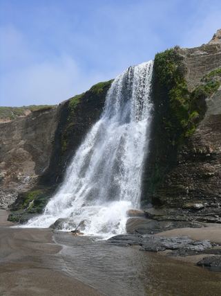 Alamere FallsLong hike with tide-dependent beach access; use the NPS route.Marin County, CA6.5 miSW
- Buck Gulch FallsPartial guide: path crosses an easement onto ranch land; parking not confirmedMarin County, CA7.4 miE
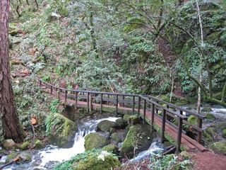 Cataract FallsPublished trail route; roadside parking at the hairpinMarin County, CA8.5 miSE
- Helen Markt FallsPublished trail route and roadside trailhead documented; steep stairsMarin County, CA8.6 miSE
- Midway FallsPublished trail route and roadside trailhead documented; steep stairsMarin County, CA8.8 miSE
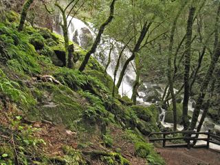 Laurel Dell FallsPartial guide: route to Laurel Dell documented; exact drop not named in sourcesMarin County, CA9.2 miSE