Laurel Dell Falls
Marin County, California
Your visit at a glance
- Waterfall height
- Not recorded
- Location
- Marin County, California
- Access status
- Partial guide: route to Laurel Dell documented; exact drop not named in sources
- The walk
- About 1.8 miles return (source figure)
- Ground & access
- Fire road descent, then rocky steps and roots on the Cataract Trail. About 300 feet of climbing on the way back.
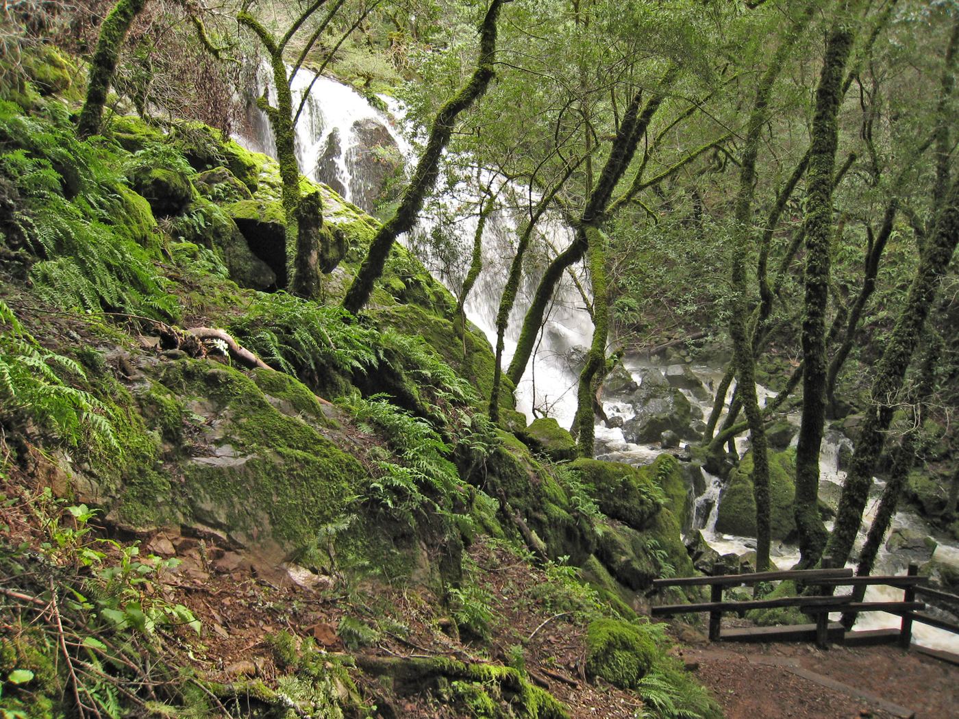
Park at the Laurel Dell Trailhead at the gate on Laurel Dell Fire Road. Walk down the fire road 0.8 mile to Laurel Dell Picnic Area, then take the Cataract Trail on the left to the first cascades of Cataract Creek. The sources do not name a separate Laurel Dell Falls, so the exact drop for this listing is not confirmed.
Plan your visit
Laurel Dell Trailhead on West Ridgecrest Boulevard down Laurel Dell Fire Road to Laurel Dell Picnic Area and the first cascades on the Cataract Trail
The San Francisco Chronicle gives 0.8 mile from the Laurel Dell Fire Road gate to the picnic area and 1.8 miles round trip including the first cascades. From Rock Spring it is about one mile to Laurel Dell plus a quarter mile to the first falls.
Fire road descent, then rocky steps and roots on the Cataract Trail. About 300 feet of climbing on the way back.
Where to start
Small free parking area at the Laurel Dell Fire Road gate on West Ridgecrest Boulevard. Rock Spring parking is also free; Pantoll, Bootjack and East Peak charge $8 per the article.
Timing & water
Best in winter and spring after rain.
Before you go
No reservation. Parking fees as above may have changed since the article.
Visitor informationVisit sources
More waterfalls nearby
Within 40 straight-line miles. Road and trail distances will differ.
- Midway FallsPublished trail route and roadside trailhead documented; steep stairsMarin County, CA0.4 miNW
- Helen Markt FallsPublished trail route and roadside trailhead documented; steep stairsMarin County, CA0.6 miNW
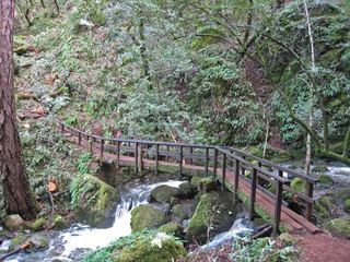 Cataract FallsPublished trail route; roadside parking at the hairpinMarin County, CA0.6 miNW
- Little Carson FallsSigned water district trailMarin County, CA3.3 miN
- Dawn FallsPublished hiking route and street parking documentedMarin County, CA3.8 miE
- Kent FallsMarin County, CA3.9 miSE
- Cascade FallsPublished trail log and parking documented; limited residential parkingMarin County, CA4.2 miN
- Roy's RifflesMarin County, CA6.4 miN
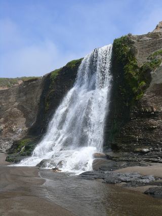 Alamere FallsLong hike with tide-dependent beach access; use the NPS route.Marin County, CA8.6 miW