Cataract Falls
Marin County, California
Your visit at a glance
- Waterfall height
- Not recorded
- Location
- Marin County, California
- Access status
- Published trail route; roadside parking at the hairpin
- The walk
- Roughly 0.6 to 1.6 miles return to the lower cascades (estimate); about 3 miles return to the top of the trail
- Ground & access
- Steep trail with dirt, stone steps, wooden steps and bridges. Slippery when wet.
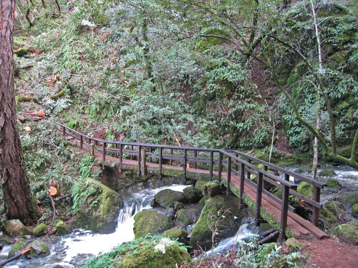
Start at the signed trailhead beside Alpine Lake. Follow Cataract Trail along the lake for 0.3 mile, then climb beside Cataract Creek. The large lower cascades, which include this mapped drop, are in the next 0.5 mile. Note that Modern Hiker uses the name Cataract Falls for the last, smaller cascade at 1.3 miles; this listing is the lower drop. Return the same way, or continue up to Laurel Dell.
Plan your visit
Cataract Trail from Alpine Lake (Bolinas-Fairfax Road) up Cataract Creek
Modern Hiker says the trail follows Alpine Lake for 0.3 mile, then passes over half a dozen cascades in the next 0.5 mile, and reaches Laurel Dell at 1.5 miles. The mapped point is in the lower cascade section, 0.3 to 0.8 mile from the start; its exact trail distance is not stated, so the return range is an estimate from those source distances.
Steep trail with dirt, stone steps, wooden steps and bridges. Slippery when wet.
Where to start
Modern Hiker: at Alpine Dam, turn left and drive 0.2 miles, then park on the shoulder of the hairpin turn. Roadside parking only; capacity not stated.
Timing & water
Best in winter and spring after rain. Alpine Lake is a drinking water reservoir: no swimming or wading.
Before you go
No entrance fee is stated in the reviewed source. Marin Water trails are open sunrise to sunset.
Visitor informationVisit sources
More waterfalls nearby
Within 40 straight-line miles. Road and trail distances will differ.
- Helen Markt FallsPublished trail route and roadside trailhead documented; steep stairsMarin County, CA0.1 miS
- Midway FallsPublished trail route and roadside trailhead documented; steep stairsMarin County, CA0.3 miS
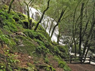 Laurel Dell FallsPartial guide: route to Laurel Dell documented; exact drop not named in sourcesMarin County, CA0.6 miSE
- Little Carson FallsSigned water district trailMarin County, CA2.7 miN
- Cascade FallsPublished trail log and parking documented; limited residential parkingMarin County, CA3.7 miN
- Dawn FallsPublished hiking route and street parking documentedMarin County, CA4.0 miE
- Kent FallsMarin County, CA4.5 miSE
- Roy's RifflesMarin County, CA5.8 miN
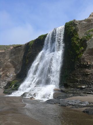 Alamere FallsLong hike with tide-dependent beach access; use the NPS route.Marin County, CA8.2 miW