Cascade Falls
Marin County, California
Your visit at a glance
- Waterfall height
- Not recorded
- Location
- Marin County, California
- Access status
- Published trail log and parking documented; limited residential parking
- The walk
- About 1.4 miles return
- Ground & access
- Dirt fire road and trail with several creek crossings. Some junctions are unsigned. Muddy in the rainy season. No restrooms or drinking water.
Start at the open space gate at the end of Cascade Drive in Fairfax. Bear right onto High Water Trail, then turn right onto Cascade Fire Road. Continue past Middle Fire Road and cross the bridge. At the T junction, turn right onto Cascade Falls Trail, which ends at the falls. Return the same way.
Plan your visit
Cascade Drive preserve gate to Cascade Falls via Cascade Fire Road
Bay Area Hiker mileage log: falls at mile 0.7, back at the trailhead at mile 1.4.
Dirt fire road and trail with several creek crossings. Some junctions are unsigned. Muddy in the rainy season. No restrooms or drinking water.
Where to start
Roadside parking on Cascade Drive about 0.5 mile before the street dead-ends at the preserve gate. Parking in the residential area is very limited; carpooling or walking in from the foot of Cascade Drive is advised.
Timing & water
Seasonal flow; the falls are best in the rainy season. Trail can be muddy.
Before you go
No fee or reservation is mentioned in the sources.
Visitor informationVisit sources
More waterfalls nearby
Within 40 straight-line miles. Road and trail distances will differ.
- Little Carson FallsSigned water district trailMarin County, CA1.6 miSW
- Roy's RifflesMarin County, CA2.9 miNW
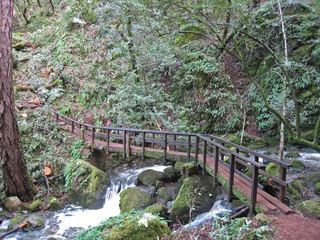 Cataract FallsPublished trail route; roadside parking at the hairpinMarin County, CA3.7 miS
- Helen Markt FallsPublished trail route and roadside trailhead documented; steep stairsMarin County, CA3.8 miS
- Midway FallsPublished trail route and roadside trailhead documented; steep stairsMarin County, CA4.0 miS
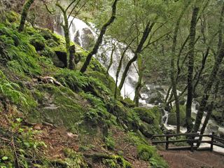 Laurel Dell FallsPartial guide: route to Laurel Dell documented; exact drop not named in sourcesMarin County, CA4.2 miS
- Dawn FallsPublished hiking route and street parking documentedMarin County, CA4.6 miSE
- Buck Gulch FallsPartial guide: path crosses an easement onto ranch land; parking not confirmedMarin County, CA5.7 miN
- Stairstep FallsPublished trail route and roadside parking documented; fee at the pullout unconfirmedMarin County, CA6.4 miNW