Ella Falls
Tulare County, California
Your visit at a glance
- Waterfall height
- Not recorded
- Location
- Tulare County, California
- Access status
- Published park trail loop documented; private lake road not for public use
- The walk
- About 5 miles for the full loop
- Ground & access
- Steep in places, descending and then climbing about 900 feet. Some sections are on forest tracks used by occasional vehicles.
Start at the far side of the RV parking area at General Grant Grove and head west on the North Grove Loop. Continue past Lion Meadow and the Dead Giant, then down forest tracks toward Sequoia Lake. Walk a short way east to the lower end of the Sunset Trail and climb it up Sequoia Creek to Ella Falls, which is seen from below. Continue up to a four-way junction, bear left past a marsh to the Swale Work Center road, and follow it back to the General Grant parking lot.
Plan your visit
Grant Grove loop via Dead Giant and Sunset trails to Ella Falls
The American Southwest gives 5 miles and 900 feet of elevation change for the whole loop, which also passes the Dead Giant and the Sequoia Lake Overlook. No separate figure to Ella Falls was reviewed.
Steep in places, descending and then climbing about 900 feet. Some sections are on forest tracks used by occasional vehicles.
Where to start
The loop starts at the RV parking area at the General Grant Grove. The road around Sequoia Lake is private YMCA property; the source says non-residents should only walk the short section to the Sunset Trail.
Timing & water
The creek flows all year; the falls are biggest in early summer during snowmelt. Current trail conditions unknown.
Before you go
Kings Canyon National Park entrance requirements apply; current fees were not covered by the reviewed source.
Visitor informationVisit sources
More waterfalls nearby
Within 40 straight-line miles. Road and trail distances will differ.
- Viola FallsPartial guide: route from non-NPS guides; Sunset Trail partly closed for October 2026 prescribed fireTulare County, CA0.2 miE
- Garlic FallsFresno County, CA9.0 miN
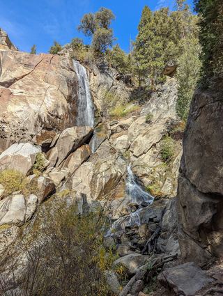 Grizzly FallsPartial guide: picnic-area walk documented; parking unknown.Fresno County, CA14 miE
- Rancheria Creek Falls33 ft (10 m) · Fresno County, CA15 miN
- Marble FallsOfficial trail; NPS distance figures differTulare County, CA16 miSE
- Silver Spray FallsFresno County, CA16 miNE
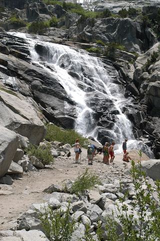 Tokopah FallsResearched visit notesTulare County, CA18 miSE
- Blue Canyon FallsFresno County, CA19 miNE
- Panther Creek FallsPartial guide: viewing spot for the falls not described154 ft (47 m) · Tulare County, CA20 miSE