Tokopah Falls
Tulare County, California
Your visit at a glance
- Waterfall height
- Not recorded
- Location
- Tulare County, California
- The walk
- 3.4 miles return
- Ground & access
- Unpaved, with bridges and stairs; not wheelchair accessible.
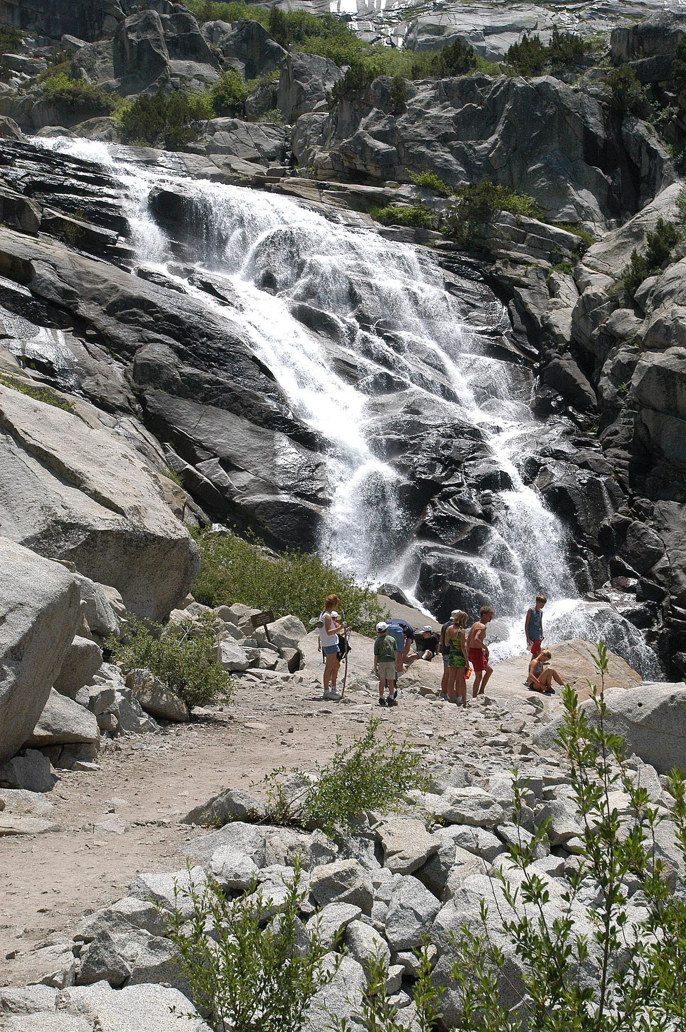
Follow the Marble Fork valley from Lodgepole to the waterfall.
Plan your visit
Tokopah Falls Trail from Lodgepole
NPS labels 3.4 miles as the round trip; elevation change is 600 ft.
Unpaved, with bridges and stairs; not wheelchair accessible.
Where to start
Use the day-use lot near the Lodgepole Campground entrance; walk to the trail beyond Marble Fork Bridge.
Timing & water
Main flow is spring and early summer. NPS says winter campground closure prevents access; verify seasonal access before travel.
Before you go
NPS lists no hike reservation; park entrance fees may apply.
Visitor informationMore waterfalls nearby
Within 40 straight-line miles. Road and trail distances will differ.
- Upper Buck Creek FallsTulare County, CA4.2 miSE
- Lower Buck Creek FallsTulare County, CA4.5 miS
- Panther Creek FallsPartial guide: viewing spot for the falls not described154 ft (47 m) · Tulare County, CA5.2 miS
- Marble FallsOfficial trail; NPS distance figures differTulare County, CA6.7 miSW
- Tamarack Falls52 ft (16 m) · Tulare County, CA7.5 miE
- Lower Cliff Creek FallsTulare County, CA10 miSE
- Upper Cliff Creek FallsTulare County, CA10 miSE
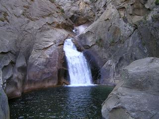 Roaring River FallsResearched visit notesFresno County, CA12 miN
- Tufa FallsPartial guide: falls are above the trail and screened by foliage; a clear viewpoint is not confirmedTulare County, CA13 miSE