Nojoqui Falls
Santa Barbara County, California
Your visit at a glance
- Waterfall height
- Not recorded
- Location
- Santa Barbara County, California
- Access status
- Published county park route and parking documented
- The walk
- About 1 mile return
- Ground & access
- Easy forest trail with about 100 feet of elevation gain.
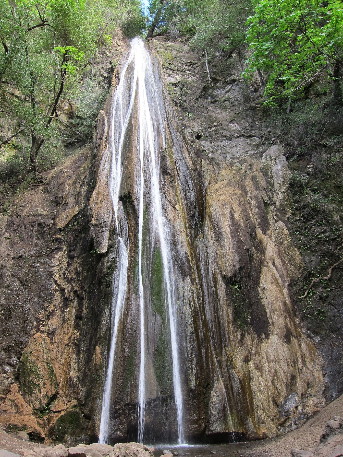
From Highway 101, take Old Coast Highway to Alisal Road and turn into Nojoqui Falls Park. Drive to the back of the parking lot, where a restroom and a sign mark the waterfall trail. Follow the forested trail across a small creek and small bridges to the base of the falls. Return the same way.
Plan your visit
Nojoqui Falls Park trail to Nojoqui Falls
California Through My Lens gives 1 mile round trip; the same article also calls the trail 3/4 mile, so the exact length is uncertain.
Easy forest trail with about 100 feet of elevation gain.
Where to start
Park in the Nojoqui Falls Park lot off Alisal Road. The author reported free parking and restrooms at the trailhead.
Timing & water
Seasonal. Best in winter and early spring after rain; it may be a trickle or dry in dry months. Information from the author's 2014 and 2025 visits.
Before you go
The author reported free parking. Current park hours and rules were not checked.
Visitor informationVisit sources
More waterfalls nearby
Within 40 straight-line miles. Road and trail distances will differ.
- Wellhouse FallsSanta Barbara County, CA22 miE
- Seven FallsTrail organization route and parking documented; creek scrambleSanta Barbara County, CA27 miE
- Sisquoc FallsSanta Barbara County, CA29 miNE
- Tangerine FallsVisitor route and parking documented; unmaintained final sectionSanta Barbara County, CA30 miE
- Hot Springs FallsSanta Barbara County, CA31 miE