Seven Falls
Santa Barbara County, California
Your visit at a glance
- Waterfall height
- Not recorded
- Location
- Santa Barbara County, California
- Access status
- Trail organization route and parking documented; creek scramble
- The walk
- About 3.4 miles return
- Ground & access
- Creek-bed route with rock hopping, creek crossings and light scrambling. Not a maintained trail for the final section. Poison oak reported.
Santa Barbara County Trails Council says the route starts on Tunnel Road and follows the Jesusita Trail for about 200 yards before dropping into the west fork of Mission Canyon. The easiest way to the falls follows the creek bed, with rock hopping, creek crossings and light scrambling. Return the same way.
Plan your visit
End of Tunnel Road via the Jesusita Trail and the west fork of Mission Creek to Seven Falls
Santa Barbara County Trails Council gives 3.4 miles out and back with 856 feet of elevation gain. Not measured here.
Creek-bed route with rock hopping, creek crossings and light scrambling. Not a maintained trail for the final section. Poison oak reported.
Where to start
Park legally at the end of Tunnel Road. The Trails Council says tickets are frequently issued for improper parking. Space is limited.
Timing & water
Seasonal flow. The Trails Council says the falls usually have water in spring and summer; current conditions not verified.
Before you go
No fee or permit is mentioned in the reviewed sources; not confirmed by the land manager.
Visitor informationVisit sources
More waterfalls nearby
Within 40 straight-line miles. Road and trail distances will differ.
- Tangerine FallsVisitor route and parking documented; unmaintained final sectionSanta Barbara County, CA2.7 miE
- Hot Springs FallsSanta Barbara County, CA4.0 miE
- Wellhouse FallsSanta Barbara County, CA6.0 miNW
- Sisquoc FallsSanta Barbara County, CA19 miN
- 33 FallsVentura County, CA25 miE
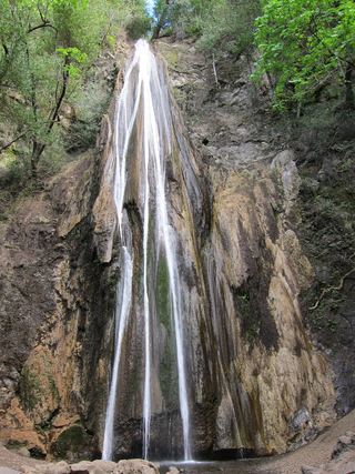 Nojoqui FallsPublished county park route and parking documentedSanta Barbara County, CA27 miW
- Rose Valley FallsResearched route and starting areaVentura County, CA30 miE
- White Swift Falls59 ft (18 m) · Ventura County, CA37 miE
- Punch BowlPartial guide: probable match; pass rules and current trail start not confirmedVentura County, CA37 miE