Tip Toe Falls
San Mateo County, California
Your visit at a glance
- Waterfall height
- Not recorded
- Location
- San Mateo County, California
- Access status
- Published trail route documented; state park day-use fee applies
- The walk
- About 0.8 miles each way; 1.6 miles round trip
- Ground & access
- Easy forest trail and a narrow creek-side spur. Seasonal footbridges in the park are removed in winter when creeks are high.
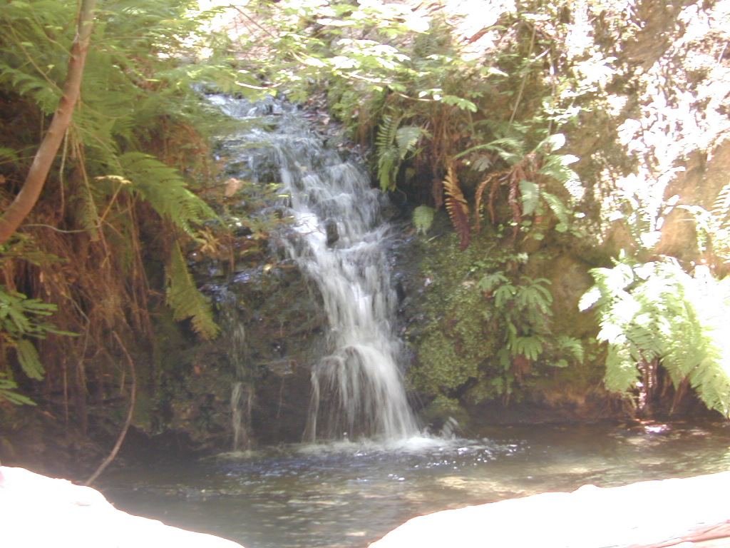
Tip Toe Falls is a 6-foot fall on Fall Creek. From the visitor center, take the Iverson Trail, which starts on the north side of the nature center and connects with the Sequoia Nature Trail. At the mouth of Fall Creek, follow the narrow side trail upstream to the falls at the end of a small V-shaped canyon. Return the same way.
Plan your visit
Portola Redwoods visitor center by the Iverson Trail to Tip Toe Falls
Sempervirens Fund gives a 1.6-mile out-and-back. The one-way figure is half of that.
Easy forest trail and a narrow creek-side spur. Seasonal footbridges in the park are removed in winter when creeks are high.
Where to start
Park near the visitor center at the end of Portola State Park Road. From Highway 35, take Alpine Road 3 miles, then Portola State Park Road, which is steep and winding.
Timing & water
The falls can dry up in summer; visit after rain. The park may close in severe weather.
Before you go
California State Parks lists a $10 vehicle day-use fee. Day-use hours are 6 a.m. to sunset. Dogs are not allowed on trails.
Visitor informationVisit sources
More waterfalls nearby
Within 40 straight-line miles. Road and trail distances will differ.
- Peter's Creek FallsPartial guide: final half mile is an unofficial path; permission not confirmedSan Mateo County, CA4.1 miNE
- Gerow's WaterfallSanta Cruz County, CA4.2 miNE
- Sempervirens FallsOfficial reopened trail and parking rules documentedSanta Cruz County, CA4.7 miS
- Butano FallsSan Mateo County, CA5.3 miW
- Silver FallsSanta Cruz County, CA5.6 miSW
- The CascadesSanta Cruz County, CA5.7 miSW
- Golden FallsSanta Cruz County, CA5.7 miSW
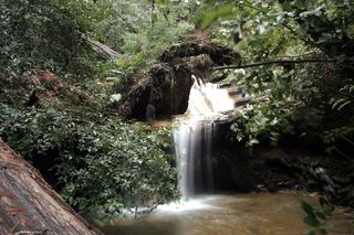 Berry Creek FallsSanta Cruz County, CA6.0 miSW
 Castle Rock FallsPublished state park trail route and fee documented; viewing platformSanta Cruz County, CA6.5 miE