Peter's Creek Falls
San Mateo County, California
Your visit at a glance
- Waterfall height
- Not recorded
- Location
- San Mateo County, California
- Access status
- Partial guide: final half mile is an unofficial path; permission not confirmed
- The walk
- Roughly 2 to 2.5 miles return (estimate)
- Ground & access
- Official trail, then an unofficial, frequently used creekside path. Steeper rough paths below the falls are used by climbers.
From the Grizzly Flat trailhead, hike 0.4 mile down Peters Creek Trail and turn right on the Bay Area Ridge Trail. Shortly after the trail crosses the private paved Portola Heights Road, turn left on an unofficial path that follows the creek about a half mile downstream to the top of the falls. Return the same way. This last half mile is not an official preserve trail.
Plan your visit
Grizzly Flat trailhead, Skyline Boulevard, by Peters Creek Trail and Bay Area Ridge Trail, then an unofficial creekside path
The visitor notes give 0.4 mile on Peters Creek Trail, an unstated stretch of Ridge Trail, then a half mile down the creek. The return range is an estimate from those parts.
Official trail, then an unofficial, frequently used creekside path. Steeper rough paths below the falls are used by climbers.
Where to start
Grizzly Flat trailhead lot on Skyline Boulevard; the trailhead is across the highway. Weekend Sherpa says parking is free.
Timing & water
Best after heavy rain. Check the preserve page for temporary trail closures.
Before you go
No fee or reservation is stated. No dogs on this route per Weekend Sherpa.
Visitor informationVisit sources
More waterfalls nearby
Within 40 straight-line miles. Road and trail distances will differ.
- Gerow's WaterfallSanta Cruz County, CA1.4 miSE
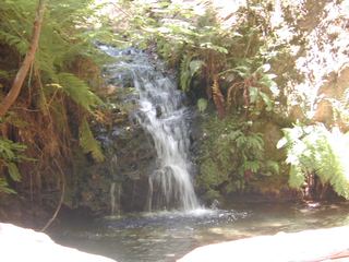 Tip Toe FallsPublished trail route documented; state park day-use fee appliesSan Mateo County, CA4.1 miSW
 Castle Rock FallsPublished state park trail route and fee documented; viewing platformSanta Cruz County, CA5.6 miSE
- Sempervirens FallsOfficial reopened trail and parking rules documentedSanta Cruz County, CA7.8 miS
- Butano FallsSan Mateo County, CA8.9 miW
- Silver FallsSanta Cruz County, CA9.6 miSW
- The CascadesSanta Cruz County, CA9.7 miSW
- Golden FallsSanta Cruz County, CA9.7 miSW
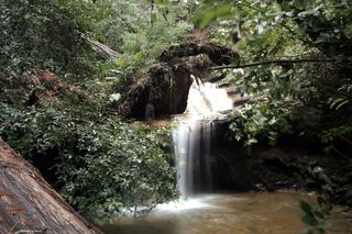 Berry Creek FallsSanta Cruz County, CA9.9 miSW