Castle Rock Falls
Santa Cruz County, California
Your visit at a glance
- Waterfall height
- Not recorded
- Location
- Santa Cruz County, California
- Access status
- Published state park trail route and fee documented; viewing platform
- The walk
- About 1.2 miles return
- Ground & access
- Downhill on the way in and uphill on the way out, with bridges and some rocky trail. The view is from above, so the falls are not seen in full. Social trails to the base are unofficial.
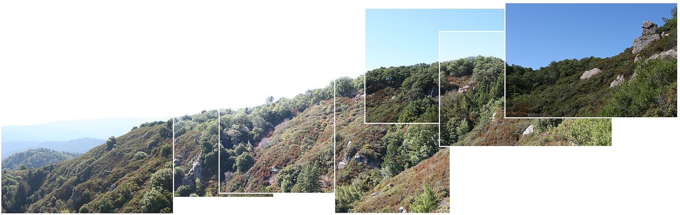
From the trail map kiosk at the parking lot, take the center path, the Saratoga Gap Trail, down the ravine. Keep right at the Castle Rock Trail junction, stay left without crossing the bridge at the Waterfall Connector junction, cross another bridge, then keep left on the Saratoga Gap Trail at the Ridge Trail fork. At 0.6 mile, take the short spur left to the viewing platform above the falls. Return the same way.
Plan your visit
Saratoga Gap Trail to the Castle Rock Falls viewing platform
Derived return distance: Live and Let Hike reaches the platform spur at 0.6 mile from the overflow parking lot.
Downhill on the way in and uphill on the way out, with bridges and some rocky trail. The view is from above, so the falls are not seen in full. Social trails to the base are unofficial.
Where to start
Park in the Castle Rock State Park lot on Skyline Boulevard (Highway 35). California State Parks lists a $10 vehicle day-use fee and day-use hours of 6am to sunset.
Timing & water
Flow is best in winter and spring. There is no cell reception in or around the park.
Before you go
California State Parks lists a $10 vehicle day-use fee. No reservation requirement was found for day use.
Visitor informationVisit sources
More waterfalls nearby
Within 40 straight-line miles. Road and trail distances will differ.
- Gerow's WaterfallSanta Cruz County, CA4.2 miNW
- Peter's Creek FallsPartial guide: final half mile is an unofficial path; permission not confirmedSan Mateo County, CA5.6 miNW
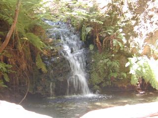 Tip Toe FallsPublished trail route documented; state park day-use fee appliesSan Mateo County, CA6.5 miW
- Sempervirens FallsOfficial reopened trail and parking rules documentedSanta Cruz County, CA6.6 miSW
- Scott Creek FallsSanta Cruz County, CA9.4 miSW
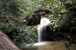 Berry Creek FallsSanta Cruz County, CA9.6 miSW
- Silver FallsSanta Cruz County, CA9.7 miW
- The CascadesSanta Cruz County, CA9.7 miW
- Golden FallsSanta Cruz County, CA9.8 miW