Sempervirens Falls
Santa Cruz County, California
Your visit at a glance
- Waterfall height
- Not recorded
- Location
- Santa Cruz County, California
- Access status
- Official reopened trail and parking rules documented
- The walk
- 4.3-mile loop
- Ground & access
- Moderate forest trail through fire-recovering redwoods.
California State Parks reopened the Sequoia Trail to Sempervirens Falls on May 22, 2026, for the first time since the 2020 CZU Lightning Complex Fire. Start at the main day-use area and follow the Sequoia Trail to the falls. Return on the Skyline-to-the-Sea Trail to make the 4.3-mile loop.
Plan your visit
Big Basin main day-use area via the Sequoia Trail to Sempervirens Falls
California State Parks gives the 2.9-mile Sequoia Trail, or a 4.3-mile loop combining it with 1.4 miles of the Skyline-to-the-Sea Trail from the main day-use area.
Moderate forest trail through fire-recovering redwoods.
Where to start
Main day-use area parking is limited. State Parks says parking reservations are highly recommended. A summer weekend and holiday shuttle ran from the Saddle Mountain overflow lot in 2026.
Timing & water
Park hours are 8 am to sunset. Dogs are not allowed. Campgrounds are closed.
Before you go
State Parks lists $6 plus a $2 reservation fee with a parking reservation, or $10 per vehicle without one.
Visitor informationVisit sources
More waterfalls nearby
Within 40 straight-line miles. Road and trail distances will differ.
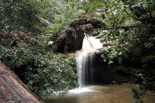 Berry Creek FallsSanta Cruz County, CA3.1 miW
- Silver FallsSanta Cruz County, CA3.3 miW
- The CascadesSanta Cruz County, CA3.4 miW
- Golden FallsSanta Cruz County, CA3.4 miW
- Slippery FallsSanta Cruz County, CA3.5 miW
- Scott Creek FallsSanta Cruz County, CA3.5 miS
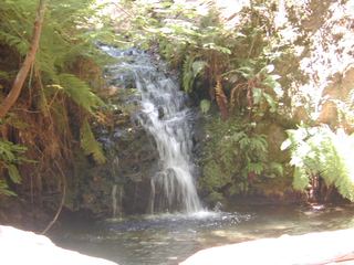 Tip Toe FallsPublished trail route documented; state park day-use fee appliesSan Mateo County, CA4.7 miN
 Castle Rock FallsPublished state park trail route and fee documented; viewing platformSanta Cruz County, CA6.6 miNE
- Butano FallsSan Mateo County, CA7.2 miNW