Pacheco Falls
Santa Clara County, California
Your visit at a glance
- Waterfall height
- Not recorded
- Location
- Santa Clara County, California
- Access status
- Official park backpacking route; strenuous multi-day trip
- The walk
- 9.3 miles one way (park figure); planned as a 2 to 3 day trip
- Ground & access
- Strenuous with steep climbs and descents. Some trails may be obscured by brush, tall grass and fallen trees. Creeks may be impassable after heavy rain. Poison oak near the falls.
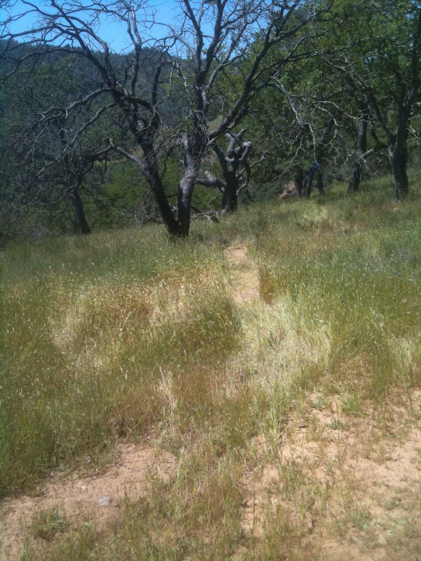
The park’s backpacking handout starts at Hunting Hollow on Gilroy Hot Springs Road, fords the creek and climbs the very steep Steer Ridge Trail, then continues through remote country to Pacheco Falls. Near the falls, a narrow trail on the left leads to a rocky outcrop with the best view from above. Camping is available at Wood Duck Pond, a quarter mile up Pacheco Falls Trail.
Plan your visit
Hunting Hollow trailhead to Pacheco Falls, Henry W. Coe State Park backpacking route
Park handout: 9.3 miles one way to Pacheco Falls from Hunting Hollow, +2670/-2150 feet. Not a single-day return for most hikers.
Strenuous with steep climbs and descents. Some trails may be obscured by brush, tall grass and fallen trees. Creeks may be impassable after heavy rain. Poison oak near the falls.
Where to start
Hunting Hollow trailhead on Gilroy Hot Springs Road. Entrance is not staffed; self-registration only. No potable water at the trailhead.
Timing & water
Best in winter and spring; falls usually flow until late spring. Summer temperatures above 90 degrees are common.
Before you go
Backpacking permit and parking fees required; self-register at Hunting Hollow. Amounts not stated in the handout.
Visitor informationVisit sources
More waterfalls nearby
Within 40 straight-line miles. Road and trail distances will differ.
- Robison FallsStanislaus County, CA10 miN
- Pinto Creek FallsStanislaus County, CA11 miN
 Bonfante FallsInside a paid theme park; admission and parking feeSanta Clara County, CA16 miSW
- Lower FallsShort county park trail with steps; seasonal flowSanta Clara County, CA22 miW
- Granuja FallsShort park trail; weekend parking reservationSanta Clara County, CA22 miW
- Triple FallsPark trail route and parking documented; fee not verifiedSanta Clara County, CA22 miW
- Black Rock FallsResearched visit notesSanta Clara County, CA22 miW
- Upper FallsPublished trail route documented; current county fee and reservation rule unconfirmedSanta Clara County, CA22 miW
- Basin FallsParking and approach documented; one-way distance from parking not measuredSanta Clara County, CA22 miW