Burney Falls
Shasta County, California
Your visit at a glance
- Waterfall height
- 115 ft (35 m)
- Location
- Shasta County, California
- The walk
- Overlook visit; walking distance not specified
- Ground & access
- Accessible facilities at Falls Overlook; current source does not establish an accessible descent to the waterfall base.
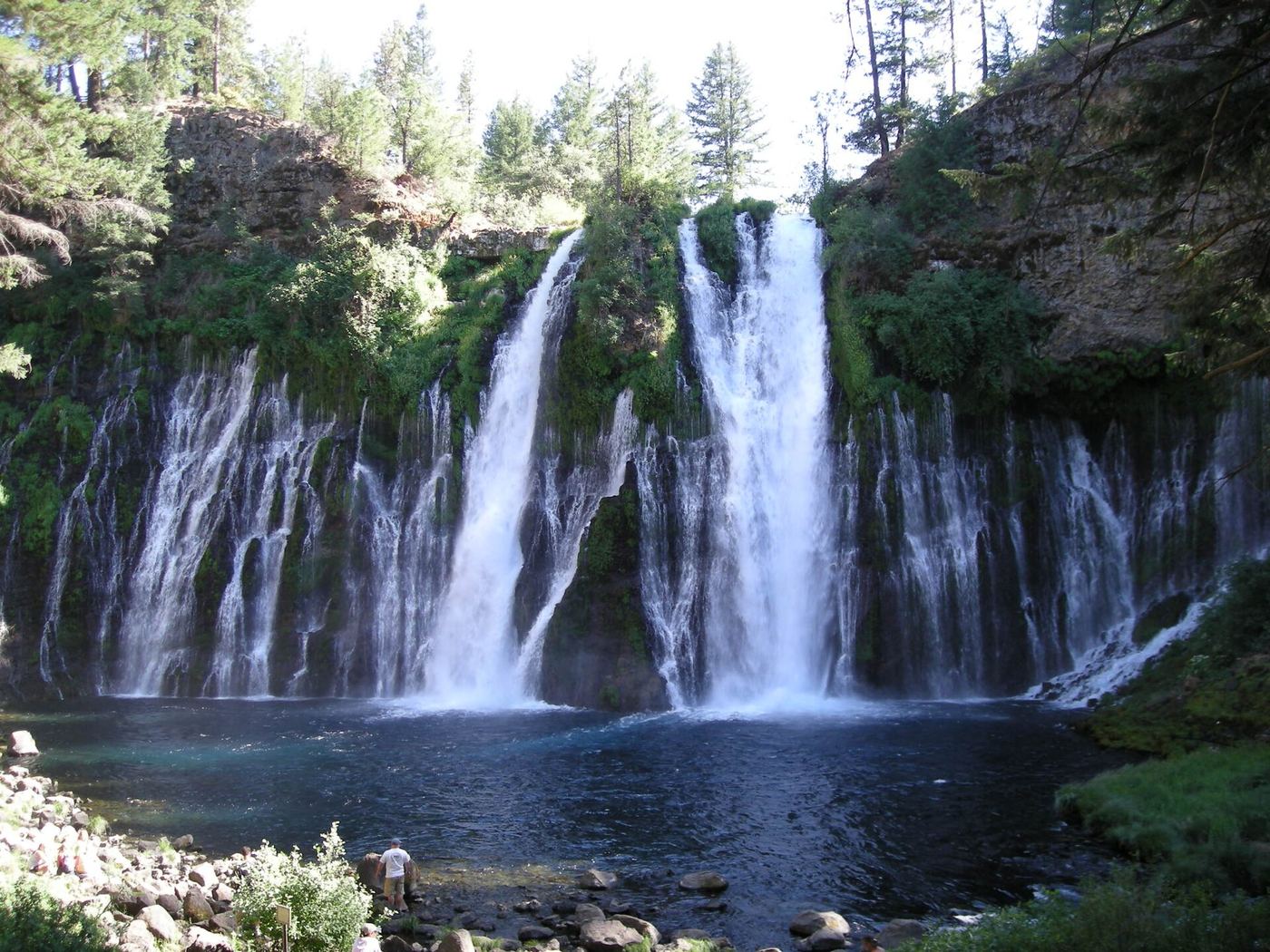
Use the Falls Overlook area for the waterfall view. Current notices close the Burney Creek Trail north of Rainbow Bridge to the Rim Trail junction, plus the PSEA Trail.
Plan your visit
Falls Overlook viewing area
The 0.71-mile Headwaters Trail heads upstream and is not a distance to the waterfall. The longer Burney Creek approach has a closure.
Accessible facilities at Falls Overlook; current source does not establish an accessible descent to the waterfall base.
Where to start
Use in-park Falls Overlook parking. Accessible spaces and restrooms are documented. Highway 89 roadside parking is prohibited within a mile of the park.
Timing & water
Check current trail closures before arrival. Dogs are not allowed on the waterfall trails.
Before you go
Day use is $10 per vehicle, 8 a.m. to sunset. The 2026 Friday–Sunday/holiday reservation pilot ran May 15–September 27; check future-year rules separately.
Visitor informationVisit sources
More waterfalls nearby
Within 40 straight-line miles. Road and trail distances will differ.
- Clark Creek FallsShasta County, CA2.0 miNW
- Rock Creek FallsShasta County, CA3.3 miW
- Pit River FallsPartial guide: overlook view from an older whitewater article; current overlook status not confirmedShasta County, CA9.5 miE
- Kinner FallsShasta County, CA12 miW
- Lion Wash FallsShasta County, CA16 miSW
- Lion Slide FallsShasta County, CA16 miSW
- Hatchet FallsShasta County, CA16 miSW
- Young FallsLassen County, CA18 miE
- Hatchet Creek FallsShasta County, CA18 miSW