Ortega Falls
Riverside County, California
Your visit at a glance
- Waterfall height
- 35 ft (10.6 m)
- Location
- Riverside County, California
- Access status
- Short published path from a highway turnout
- The walk
- About 0.33 mile return
- Ground & access
- Short dirt and rock path with 50 feet of elevation change. Rock near the falls can be slippery.
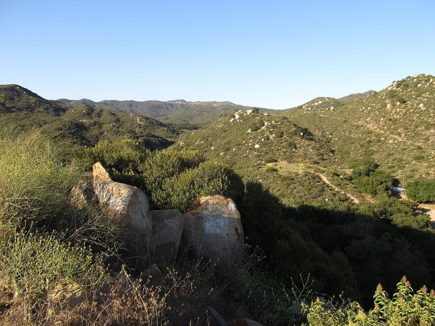
Park at the unmarked turnout on the north side of Ortega Highway. Take the path down toward the ravine, but do not drop all the way to the creek; go uphill along the lip of the canyon on the dirt and rock trail to the rock amphitheater at the base of the 35-foot falls, less than a quarter mile from the start. Return the same way.
Plan your visit
Unmarked turnout on Ortega Highway (Route 74), Cleveland National Forest, short path to Ortega Falls
Hikespeak gives about a third of a mile round trip with 50 feet of elevation change. Source figure.
Short dirt and rock path with 50 feet of elevation change. Rock near the falls can be slippery.
Where to start
Unmarked turnout on the north side of Route 74, 1.5 miles north of Ortega Oaks Candy Store and two miles south of El Cariso Visitor Center. Highway traffic is fast.
Timing & water
Seasonal. Flows in spring after rain; typically dry in summer and fall.
Before you go
Hikespeak says no permit is needed and parking is free; it states an Adventure Pass is no longer required here.
Visitor informationVisit sources
More waterfalls nearby
Within 40 straight-line miles. Road and trail distances will differ.
- Lion Canyon FallsOrange County, CA1.6 miW
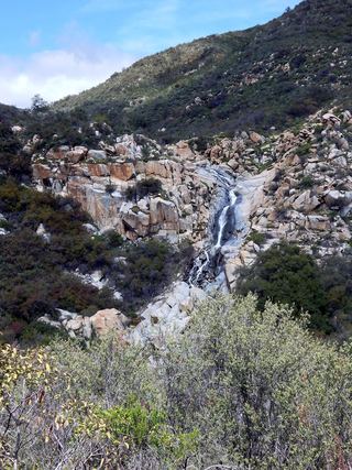 Tenaja FallsOfficial trail documented; check road alertsRiverside County, CA5.1 miS
 Holly Jim FallsOrange County, CA6.9 miNW
- Canyon FallsOrange County, CA7.2 miNW
- Harding Canyon FallsPartial guide: older firsthand use-trail route; current conditions and land status unverified35 ft (10.7 m) · Orange County, CA11 miNW
- Metrolink BridgeOrange County, CA16 miSW
- Black Star Canyon FallsPartial: 2017 firsthand account; current OC Parks access rules not confirmed50 ft (15.2 m) · Orange County, CA18 miNW
- Gavilan Mountain WaterfallRiverside County, CA18 miSE
 Dana Point Seasonal WaterfallRoadside seasonal waterfall; flows only after rainOrange County, CA19 miSW