Metrolink Bridge
Orange County, California
Your visit at a glance
- Waterfall height
- Not recorded
- Location
- Orange County, California
- Ground elevation
- About 141 ft above sea level
- Nearby mapped stream
- Trabuco Creek
- Nearby mapped access
- Mapped parking area (route unconfirmed)
A nearby mapped parking area or trailhead may not connect to this waterfall. Confirm the route and public access before travelling.
Metrolink Bridge is mapped in Orange County, California, 1.4 miles north of San Juan Capistrano. This entry shows its location and nearby mapped places; a visitor route has not been confirmed.
About this location
Land & access
No named land ownership record was found at this location. This does not establish whether the land is public or private.
Water & terrain
Trabuco Creek is mapped within 60 metres (about 200 feet) of the waterfall. Proximity alone does not confirm which stream feeds the falls.
Ground elevation is the land’s height above sea level, not the waterfall’s drop.
Sources for these details
Nearby streams and paths: OpenStreetMap. Land names: USGS PAD-US ownership records, with planning boundaries used only where ownership has no usable name. Ground elevation: USGS 3D Elevation Program.
Map records do not verify a walking route or current access conditions.
Before you make the trip
The closest mapped parking is 0.4 mi away in a straight line. This is not a walking distance.
Trail length, parking rules and current conditions have not been confirmed for this entry.
More waterfalls nearby
Within 40 straight-line miles. Road and trail distances will differ.
 Dana Point Seasonal WaterfallRoadside seasonal waterfall; flows only after rainOrange County, CA4.3 miSW
- Canyon FallsOrange County, CA14 miNE
- Lion Canyon FallsOrange County, CA14 miNE
- Harding Canyon FallsPartial guide: older firsthand use-trail route; current conditions and land status unverified35 ft (10.7 m) · Orange County, CA15 miN
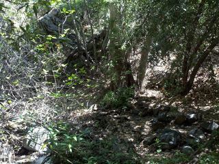 Holly Jim FallsOrange County, CA15 miNE
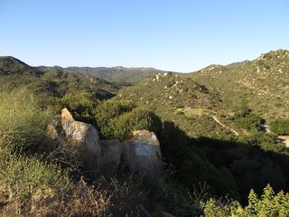 Ortega FallsShort published path from a highway turnout35 ft (10.6 m) · Riverside County, CA16 miNE
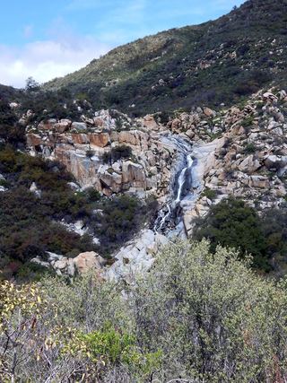 Tenaja FallsOfficial trail documented; check road alertsRiverside County, CA16 miE
- Black Star Canyon FallsPartial: 2017 firsthand account; current OC Parks access rules not confirmed50 ft (15.2 m) · Orange County, CA19 miN
- Historic DamCounty park trail5 ft (1.5 m) · Orange County, CA21 miN