Tenaja Falls
Riverside County, California
Your visit at a glance
- Waterfall height
- Not recorded
- Location
- Riverside County, California
- Access status
- Official trail documented; check road alerts
- The walk
- About 1.5 miles return
- Ground & access
- Old road and trail with modest climbing. Creek ford may need rock hopping at high water. Steep drop-offs at the top of the falls. Poison ivy reported near the creek.
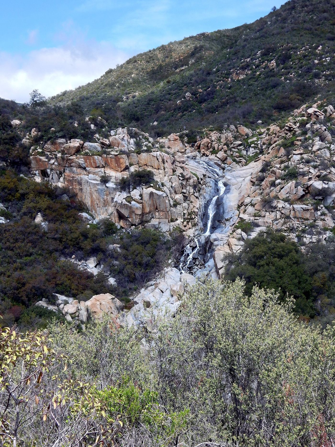
From the trailhead kiosk, follow Tenaja Falls Trail 5W04 past the self-registration station, go straight at the junction with San Mateo Canyon Trail, and cross San Mateo Creek on a concrete ford. The trail climbs a sage hillside with views of the falls across the canyon and ends beside the top of the falls. Return the same way.
Plan your visit
Tenaja Falls Trailhead on Forest Road 7S01 to the top of Tenaja Falls
Hikespeak gives 1.5 miles round trip with 275 feet of elevation change, reaching the brink of the falls 3/4 mile from the start. The Forest Service describes a half-hour hike. Not measured here.
Old road and trail with modest climbing. Creek ford may need rock hopping at high water. Steep drop-offs at the top of the falls. Poison ivy reported near the creek.
Where to start
Trailhead parking on Forest Road 7S01. The Forest Service directions follow Clinton Keith Road and Tenaja Road from I-15, then Rancho California Road (7S01) for 5 miles to the trailhead.
Timing & water
Best in spring after rain. Current road status not verified; the Forest Service alert list includes truck trail and road closures.
Before you go
Forest Service lists the fee as none. Day users sign in at the trailhead; permits are required only for overnight stays.
Visitor informationVisit sources
More waterfalls nearby
Within 40 straight-line miles. Road and trail distances will differ.
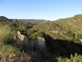 Ortega FallsShort published path from a highway turnout35 ft (10.6 m) · Riverside County, CA5.1 miN
- Lion Canyon FallsOrange County, CA5.6 miNW
- Canyon FallsOrange County, CA12 miNW
 Holly Jim FallsOrange County, CA12 miNW
- Gavilan Mountain WaterfallRiverside County, CA14 miSE
- Harding Canyon FallsPartial guide: older firsthand use-trail route; current conditions and land status unverified35 ft (10.7 m) · Orange County, CA16 miNW
- Metrolink BridgeOrange County, CA16 miW
 Dana Point Seasonal WaterfallRoadside seasonal waterfall; flows only after rainOrange County, CA19 miW
- Black Star Canyon FallsPartial: 2017 firsthand account; current OC Parks access rules not confirmed50 ft (15.2 m) · Orange County, CA22 miNW