Mist Falls
Fresno County, California
Your visit at a glance
- Waterfall height
- Not recorded
- Location
- Fresno County, California
- Access status
- Official NPS trail
- The walk
- 8 miles return
- Ground & access
- Mostly flat, then 600 feet of climbing in the last mile. Rocks near the falls are slippery from spray. Strong river currents.
Start at the Roads End Permit Station at the end of Highway 180 in Cedar Grove. Walk the Woods Creek and Bubbs Creek trail; at the first junction, about two miles out, take the trail on the left. The first miles are flat and open; the last mile climbs 600 feet through woods to the base of the falls. Return the same way.
Plan your visit
Roads End, Cedar Grove, Kings Canyon NP, by Woods Creek trail to Mist Falls
NPS gives an 8-mile round-trip walk. Source figure.
Mostly flat, then 600 feet of climbing in the last mile. Rocks near the falls are slippery from spray. Strong river currents.
Where to start
Roads End parking area at the end of Highway 180, with accessible spaces near the wilderness permit station. Store anything with a scent in the bear lockers.
Timing & water
Current status of Highway 180 to Cedar Grove unverified; check NPS road conditions before driving.
Before you go
No activity fee and no reservation for this hike. Park entrance fee applies (private vehicle $35).
Visitor informationVisit sources
More waterfalls nearby
Within 40 straight-line miles. Road and trail distances will differ.
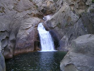 Roaring River FallsResearched visit notesFresno County, CA4.6 miSW
- Lower Gardiner FallsFresno County, CA5.0 miE
- Upper Gardiner FallsFresno County, CA5.1 miE
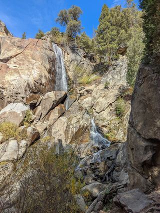 Grizzly FallsPartial guide: picnic-area walk documented; parking unknown.Fresno County, CA11 miW
- Triple FallsFresno County, CA12 miN
- Blue Canyon FallsFresno County, CA14 miNW
- Silver Spray FallsFresno County, CA15 miNW
- Tamarack Falls52 ft (16 m) · Tulare County, CA16 miS
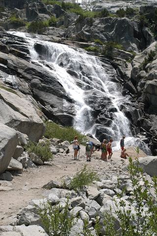 Tokopah FallsResearched visit notesTulare County, CA16 miSW