Seven Teacups
Tulare County, California
Your visit at a glance
- Waterfall height
- Not recorded
- Location
- Tulare County, California
- Access status
- Partial guide: exact roadside turnout not confirmed; creek crossing
- The walk
- About 4.5 miles return
- Ground & access
- Hot, exposed trail with about 1,000 feet of gain. In May 2026 the creek crossing was 4 feet deep at a log and shin deep about 100 feet upstream. Rock scrambling near the pools. Entering the pools is a technical canyoneering descent.
Drive north past Kernville on Mountain Highway 99 to a roadside turnout that serves as the trailhead. The trail is easy to follow to Dry Meadow Creek. After a creek crossing, the path goes up and down beside the creek with some scrambling to a viewpoint over the teacups. Return the same way.
Plan your visit
Mountain Highway 99 roadside turnout to the Seven Teacups viewing spot on Dry Meadow Creek
The Iron Hiker account gives 4.5 miles round trip on trail and 1,000 feet of gain. This is to a viewing spot above the pools, not into the pools.
Hot, exposed trail with about 1,000 feet of gain. In May 2026 the creek crossing was 4 feet deep at a log and shin deep about 100 feet upstream. Rock scrambling near the pools. Entering the pools is a technical canyoneering descent.
Where to start
Free roadside turnout on Mountain Highway 99, according to the visitor account. The exact turnout is not identified in an official source.
Timing & water
Creek crossings are deeper during snowmelt. Summer temperatures are high on this exposed trail.
Before you go
The visitor account lists parking as free. No official fee or permit information was found.
Visitor informationVisit sources
More waterfalls nearby
Within 40 straight-line miles. Road and trail distances will differ.
- South Creek FallsPartial guide: roadside view only; safe walking space beside the road not verifiedTulare County, CA1.5 miS
- Alder Creek SlidesPost-fire access status unconfirmedTulare County, CA3.6 miNW
- Nobe Young FallsUnsigned use-trail route from a documented highway pulloutTulare County, CA4.5 miNW
- Peppermint Creek FallsLocal guide route from a documented pullout; private land downstream150 ft (45.7 m) · Tulare County, CA4.7 miN
- Salmon Creek FallsPartial guide: trail ends above the falls; full view needs scramblingTulare County, CA6.4 miSE
- Cholollo FallsTulare County, CA10 miNW
- Volcano FallsTulare County, CA25 miN
- Tufa FallsPartial guide: falls are above the trail and screened by foliage; a clear viewpoint is not confirmedTulare County, CA32 miN
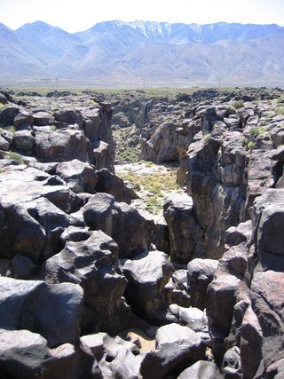 Fossil FallsPublished short route and parking documented; dry falls, cliff edgesInyo County, CA32 miE