Fossil Falls
Inyo County, California
Your visit at a glance
- Waterfall height
- Not recorded
- Location
- Inyo County, California
- Access status
- Published short route and parking documented; dry falls, cliff edges
- The walk
- About 0.4 to 0.5 mile return
- Ground & access
- Short walk over rough volcanic rock. The basalt is slippery and the channel has open cliff edges; scrambling into it is harder than the walk.
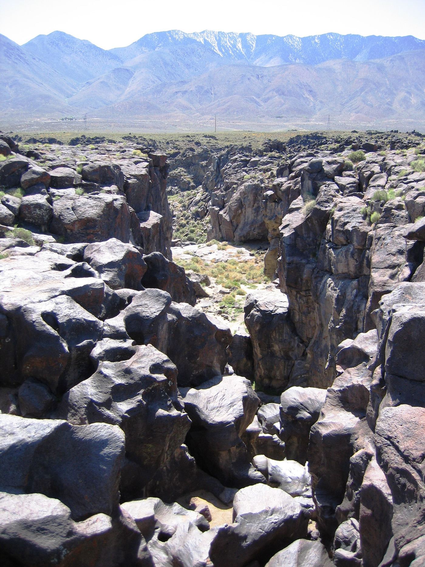
From the parking area at the end of Cinder Road, follow the short trail across the lava to the polished basalt channel of Fossil Falls. The falls are a dry, carved riverbed. Return the same way.
Plan your visit
Fossil Falls trailhead to the dry basalt falls
Source figures: Ridgecrest Guide gives 0.5 mile round trip; Calexplornia gives about 0.4 mile round trip from its visit.
Short walk over rough volcanic rock. The basalt is slippery and the channel has open cliff edges; scrambling into it is harder than the walk.
Where to start
From US-395 south of Little Lake, turn east on Cinder Road, an unpaved road, to the trailhead lot. Calexplornia advises against the road when wet or washed out.
Timing & water
Spring and fall are best; summer heat is dangerous. The falls are dry.
Before you go
Calexplornia lists no day-use fee; the nearby campground charges $6 per night.
Visitor informationVisit sources
More waterfalls nearby
Within 40 straight-line miles. Road and trail distances will differ.
- Salmon Creek FallsPartial guide: trail ends above the falls; full view needs scramblingTulare County, CA30 miW
- Seven TeacupsPartial guide: exact roadside turnout not confirmed; creek crossingTulare County, CA32 miW
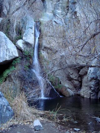 Darwin FallsRoad closed; longer walking approachInyo County, CA32 miNE
- South Creek FallsPartial guide: roadside view only; safe walking space beside the road not verifiedTulare County, CA33 miW
- Peppermint Creek FallsLocal guide route from a documented pullout; private land downstream150 ft (45.7 m) · Tulare County, CA33 miW
- Alder Creek SlidesPost-fire access status unconfirmedTulare County, CA34 miW
- Nobe Young FallsUnsigned use-trail route from a documented highway pulloutTulare County, CA36 miW
- Volcano FallsTulare County, CA38 miNW