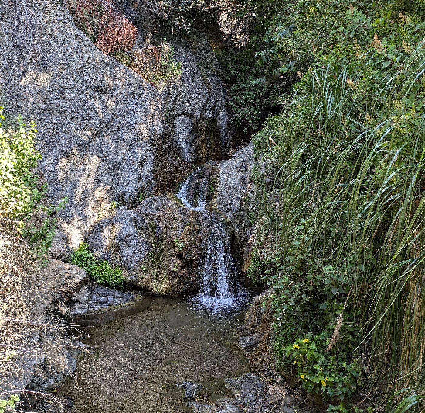
Waterfalls near Santa Clarita, CA
25 named waterfalls within 30 miles of Santa Clarita, closest first. Distances are straight-line from the town center.
Visits with route details
Read the walking route, starting point and current access notes.
- Whitney Canyon WaterfallsVerified parking-to-waterfall route; seasonal waterfallLos Angeles County, CA
- Trail Canyon FallsTrailhead parking identified; gate and alternative parking need confirmationLos Angeles County, CA
- Santa Ynez FallsPartial guide: route description predates the Palisades Fire; post-fire trail condition unverifiedLos Angeles County, CA
- Brown Mountain Dam WaterfallPublished hiking route and parking documented; stream crossingsLos Angeles County, CA
- Upper Switzer FallsPartial guide: last section is off trail and the falls names differ between sources33 ft (10 m) · Los Angeles County, CA
- Lower Switzer FallsNational forest trail; Adventure Pass parking33 ft (10 m) · Los Angeles County, CA
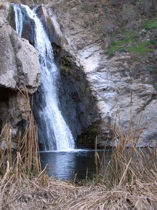 Paradise FallsSigned park trail; check current COSCA closures70 ft (21.4 m) · Ventura County, CA
 Millard FallsCamp closure posted; road and falls access unverifiedLos Angeles County, CA
- Moss Grotto FallsPartial guide: residential street parking rules not confirmed; final section off-trail23 ft (7 m) · Los Angeles County, CA
- Escondido Falls (Lower)Official MRCA park route; upper falls closed to the publicLos Angeles County, CA
- Eaton Canyon WaterfallClosed until further notice after the Eaton Fire; route documentedLos Angeles County, CA
- Sycamore FallsOfficial brochure route and trailhead parking documentedVentura County, CA
- Punch BowlPartial guide: probable match; pass rules and current trail start not confirmedVentura County, CA
Closest with a photo
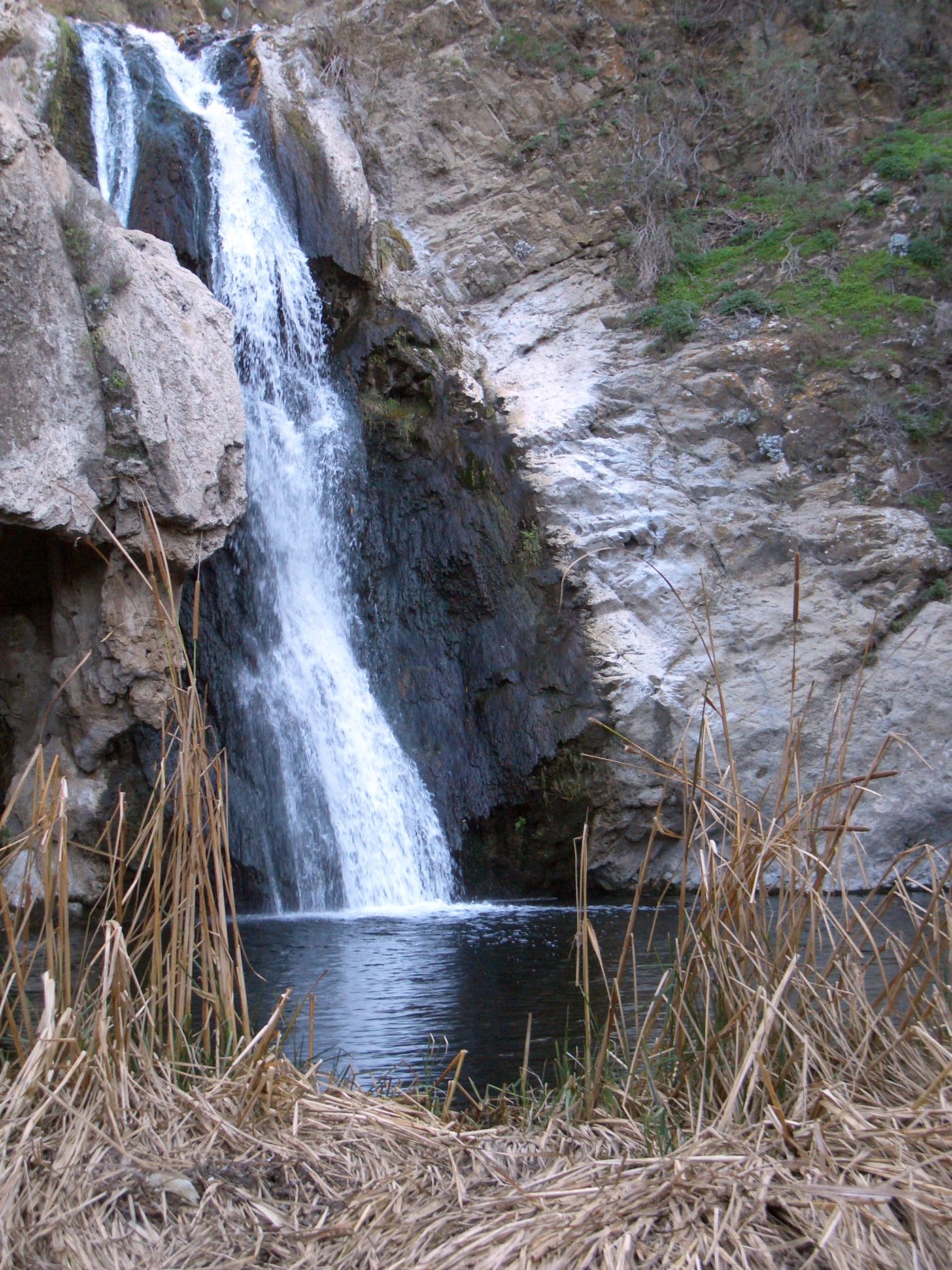
All 25 waterfalls
- Whitney Canyon WaterfallsVerified parking-to-waterfall route; seasonal waterfallLos Angeles County, CA4.1 miE
- Trail Canyon FallsTrailhead parking identified; gate and alternative parking need confirmationLos Angeles County, CA17 miE
- Santa Ynez FallsPartial guide: route description predates the Palisades Fire; post-fire trail condition unverifiedLos Angeles County, CA21 miS
- Owl FallsLos Angeles County, CA22 miS
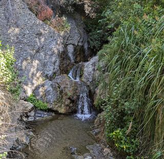 Temescal FallsLos Angeles County, CA22 miS
- Brown Mountain Dam WaterfallPublished hiking route and parking documented; stream crossingsLos Angeles County, CA23 miSE
- Royal FallsLos Angeles County, CA24 miSE
- Upper Switzer FallsPartial guide: last section is off trail and the falls names differ between sources33 ft (10 m) · Los Angeles County, CA24 miSE
- Lower Switzer FallsNational forest trail; Adventure Pass parking33 ft (10 m) · Los Angeles County, CA24 miSE
- Paradise FallsSigned park trail; check current COSCA closures70 ft (21.4 m) · Ventura County, CA24 miSW
- Millard FallsCamp closure posted; road and falls access unverifiedLos Angeles County, CA26 miSE
- Ribbon Rocks Falls30 ft (9 m) · Los Angeles County, CA27 miSE
- Moss Grotto FallsPartial guide: residential street parking rules not confirmed; final section off-trail23 ft (7 m) · Los Angeles County, CA27 miSE
- Grand Chasm Falls59 ft (18 m) · Los Angeles County, CA27 miSE
- Suspended Boulder Falls23 ft (7 m) · Los Angeles County, CA27 miSE
- Roaring Rift Falls20 ft (6 m) · Los Angeles County, CA27 miSE
- Thalehaha Falls79 ft (24 m) · Los Angeles County, CA27 miSE
- Leontine Falls131 ft (40 m) · Los Angeles County, CA27 miSE
- Escondido Falls (Upper)Los Angeles County, CA28 miSW
- Escondido Falls (Lower)Official MRCA park route; upper falls closed to the publicLos Angeles County, CA28 miSW
- Eaton Canyon WaterfallClosed until further notice after the Eaton Fire; route documentedLos Angeles County, CA29 miSE
- Sycamore FallsOfficial brochure route and trailhead parking documentedVentura County, CA29 miSW
- Punch BowlPartial guide: probable match; pass rules and current trail start not confirmedVentura County, CA30 miW
- Jackson FallsVentura County, CA30 miW
- White Swift Falls59 ft (18 m) · Ventura County, CA30 miW