Chamberlain Creek Waterfall
Mendocino County, California
Your visit at a glance
- Waterfall height
- Not recorded
- Location
- Mendocino County, California
- Access status
- Visitor-documented trailhead and short stepped trail in Jackson Demonstration State Forest
- The walk
- About 0.5 mile return
- Ground & access
- Steep descent with wooden steps; climb back out on return. Narrow forest trail.
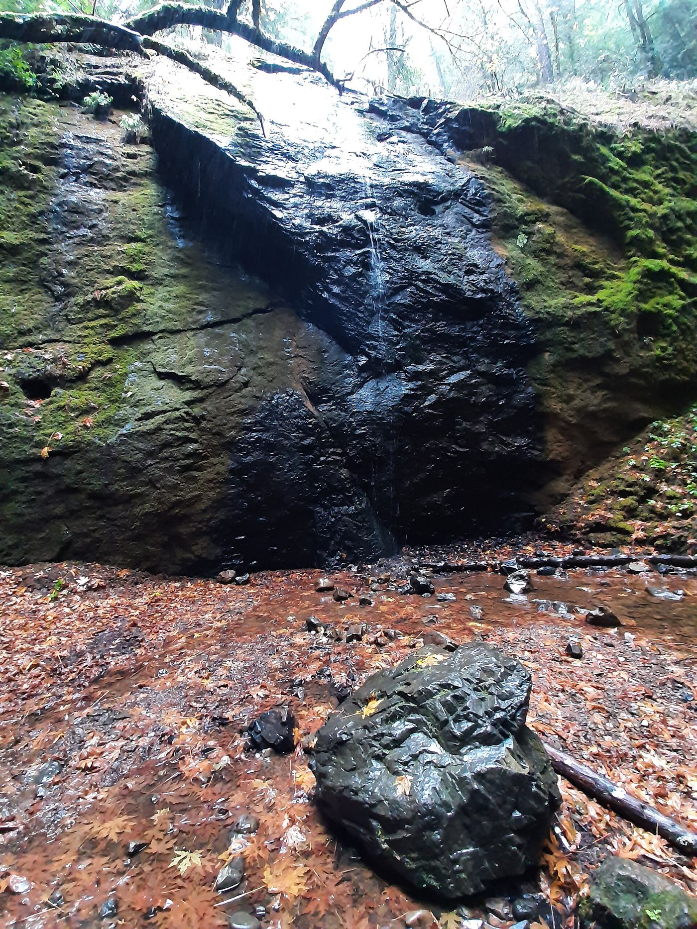
From Highway 20 at about mile marker 17.3, take unpaved Road 200 north along Chamberlain Creek to the trailhead, about four miles in. Wooden railings mark the trailhead. Descend flights of wooden steps and a steep trail through redwoods to the base of the falls. Return the same way.
Plan your visit
Road 200 trailhead down the Chamberlain Creek Waterfall Trail steps to the falls
World of Waterfalls gives a half-mile round-trip walk to the base and back. The longer Waterfall Trail loop is optional.
Steep descent with wooden steps; climb back out on return. Narrow forest trail.
Where to start
Trailhead parking on Road 200, about four miles from Highway 20. A 2015 visitor account says there is ample room. Road 200 is an unpaved logging road with active logging at times.
Timing & water
Flows year-round in most years but lower in late summer and fall. Many forest roads close in wet weather; a February 2020 visitor found the road to the waterfall open.
Before you go
No fee or reservation is mentioned in the sources.
Visitor informationVisit sources
More waterfalls nearby
Within 40 straight-line miles. Road and trail distances will differ.