Leavitt Falls
Mono County, California
Your visit at a glance
- Waterfall height
- Not recorded
- Location
- Mono County, California
- Access status
- Source-reviewed route and parking
- The walk
- Viewpoint walk; distance not stated
- Ground & access
- Viewing platform above a steep canyon.
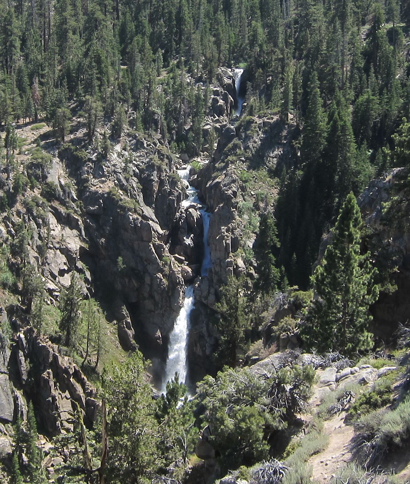
Mono County tourism identifies the scenic turnout on Sonora Pass Road. Sierra Nevada Geotourism describes a platform looking into the steep canyon toward the falls.
Plan your visit
Leavitt Falls Vista viewing platform
Only the stated source distance is supported; mapped proximity is not a walking distance.
Viewing platform above a steep canyon.
Where to start
Signed Leavitt Falls Vista is on the south side of SR 108, 8.8 miles west of Highway 395. Tourism confirms on-site parking, picnic tables and a vault toilet.
Timing & water
Access depends on seasonal SR 108 opening; snow controls opening and closing dates.
Before you go
Unknown: current fees or reservation requirements were not established in the reviewed source.
Visitor informationMore waterfalls nearby
Within 40 straight-line miles. Road and trail distances will differ.
- Silver Falls20 ft (6 m) · Mono County, CA1.9 miNE
 Sardine FallsPartial guide: unmarked use trail; exact pullout not confirmed by an official sourceMono County, CA3.3 miW
- Cascade FallsMono County, CA8.0 miS
- Llewellyn FallsAlpine County, CA10.0 miN
- Carson FallsAlpine County, CA13 miNW
- Horsetail FallsMono County, CA16 miSE
 Rancheria FallsOfficial NPS trail; long day hike or overnightTuolumne County, CA26 miS
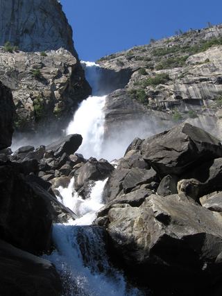 Wapama FallsResearched walking route1,286 ft (392 m) · Tuolumne County, CA27 miSW
- Lower Cathedral Creek FallsTuolumne County, CA27 miS