Sardine Falls
Mono County, California
Your visit at a glance
- Waterfall height
- Not recorded
- Location
- Mono County, California
- Access status
- Partial guide: unmarked use trail; exact pullout not confirmed by an official source
- The walk
- Under 3 miles return
- Ground & access
- Unmarked use trail that is faint or overgrown in places. A July 2023 visitor crossed McKay Creek nearly knee deep in fast, cold water. Talus near the falls.
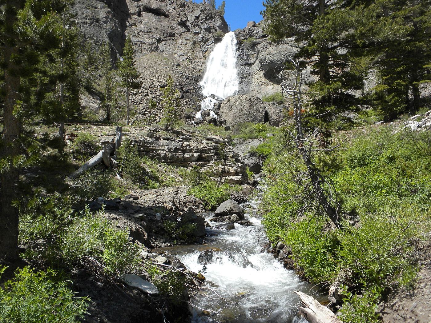
Ted Muller's 2012 account starts at a turnoff to an old road off Highway 108 on the way up Sonora Pass, where signs ban motor vehicles. The two-track becomes a use trail across Sardine Meadow; at a junction keep left toward McKay Creek. Near the cliff the trail fades. Return the same way.
Plan your visit
Highway 108 roadside pullout through Sardine Meadow to Sardine Falls on McKay Creek
A July 2023 visitor describes the hike as less than 3 miles round trip. No official measured distance was found.
Unmarked use trail that is faint or overgrown in places. A July 2023 visitor crossed McKay Creek nearly knee deep in fast, cold water. Talus near the falls.
Where to start
Small roadside parking area at the old road turnoff on Highway 108, as described by visitors. The exact pullout is not given in an official source.
Timing & water
Highway 108 over Sonora Pass is closed in winter. In 2023 it opened June 9. Snowmelt makes the creek crossing deep in early summer.
Before you go
No fee or permit information found.
Visitor informationVisit sources
More waterfalls nearby
Within 40 straight-line miles. Road and trail distances will differ.
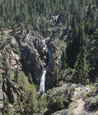 Leavitt FallsSource-reviewed route and parkingMono County, CA3.3 miE
- Silver Falls20 ft (6 m) · Mono County, CA4.7 miNE
- Cascade FallsMono County, CA8.0 miSE
- Llewellyn FallsAlpine County, CA10 miN
- Carson FallsAlpine County, CA13 miN
- Horsetail FallsMono County, CA18 miSE
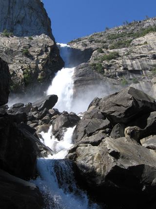 Wapama FallsResearched walking route1,286 ft (392 m) · Tuolumne County, CA25 miS
 Rancheria FallsOfficial NPS trail; long day hike or overnightTuolumne County, CA25 miS
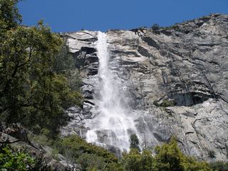 Tueeulala FallsPartial guide: shoreline viewing route verified; exact viewpoint and parking approach unknown.915 ft (279 m) · Tuolumne County, CA25 miS