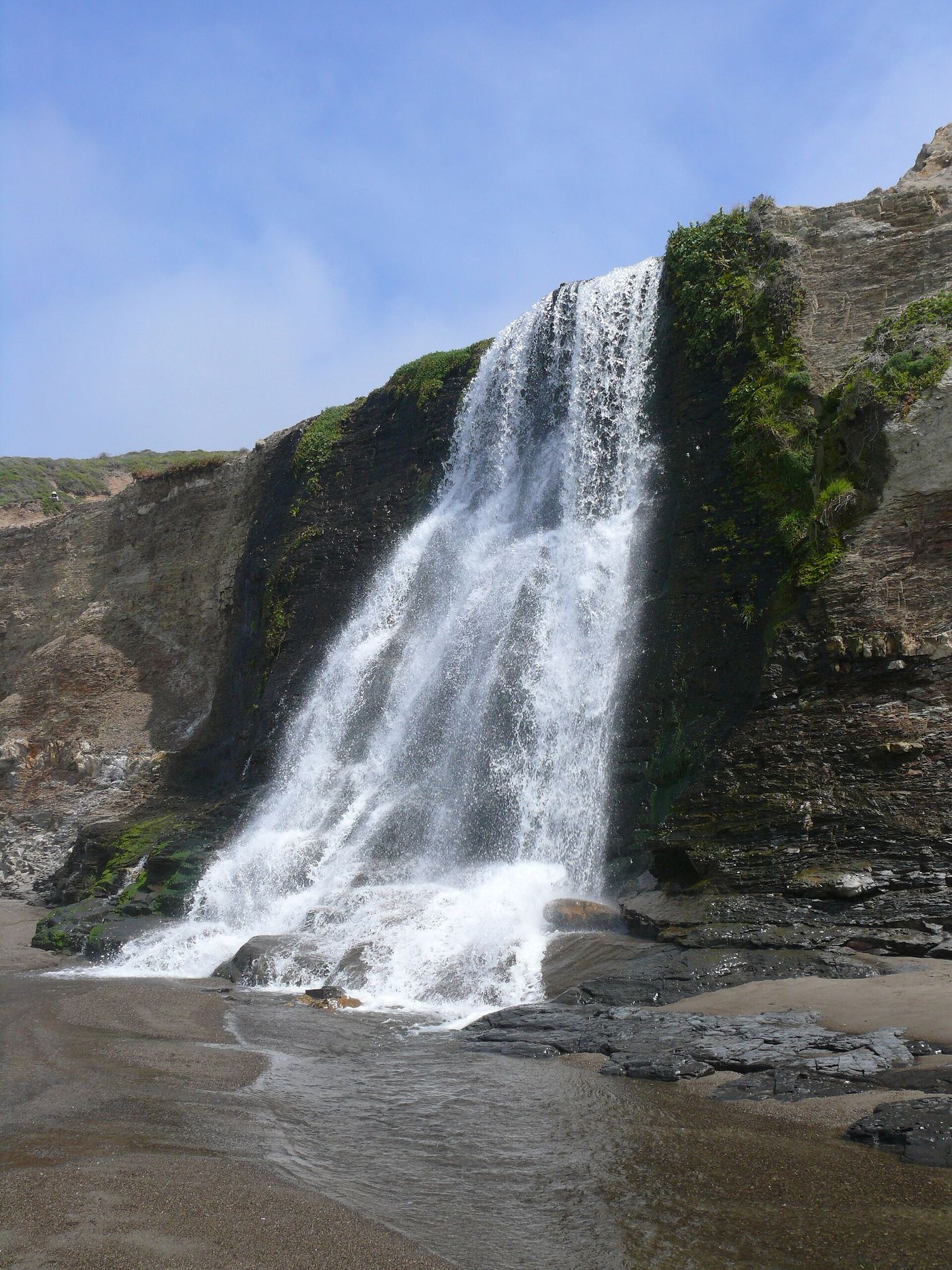
Long hike with tide-dependent beach access; use the NPS route.
California
Alamere Falls
At least 13 miles return
NPS directs visitors via Wildcat Campground and the beach; the informal cliff shortcut is not a maintained park trail.
Compare 216 California waterfall visits by the approach, terrain, and where to start. Some routes have closures or unresolved details; read the individual guide before travelling.
216 visit options
Long hike with tide-dependent beach access; use the NPS route.
California
At least 13 miles return
NPS directs visitors via Wildcat Campground and the beach; the informal cliff shortcut is not a maintained park trail.
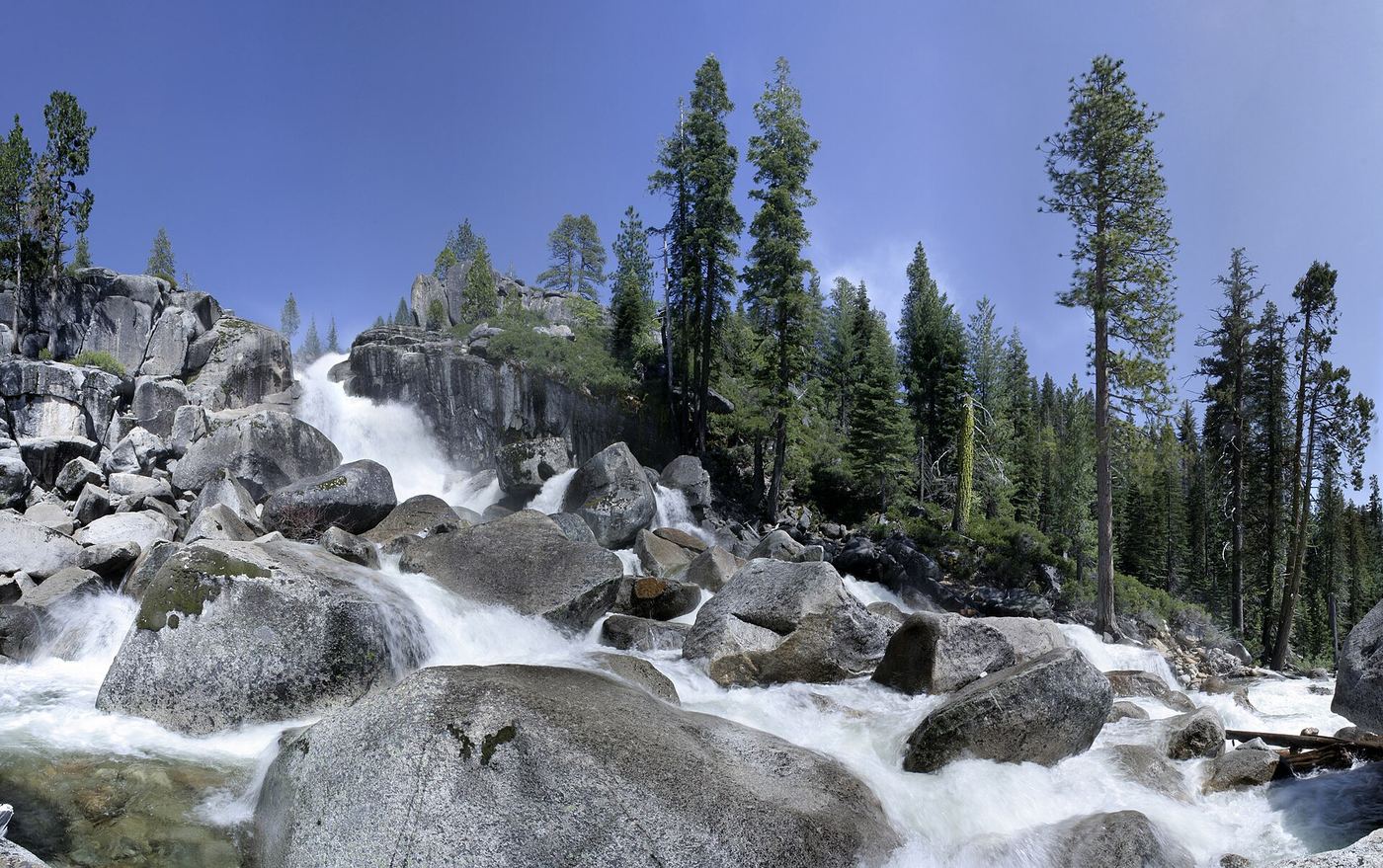
Partial notes: Millionaire Trail approach documented; parking and distance convention unverified.
California
Distance unknown
An official trail brochure documents the Millionaire Camp approach to Bassi Falls.
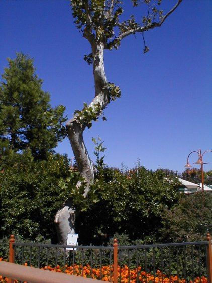
Inside a paid theme park; admission and parking fee
California
Short walk inside the park; distance from the gate not published
Bonfante Falls is a built waterfall feature inside Gilroy Gardens, a paid family theme park in Gilroy. The park says it has five types of waterfalls and that guests can walk through it. Entry is with a park ticket or membership.
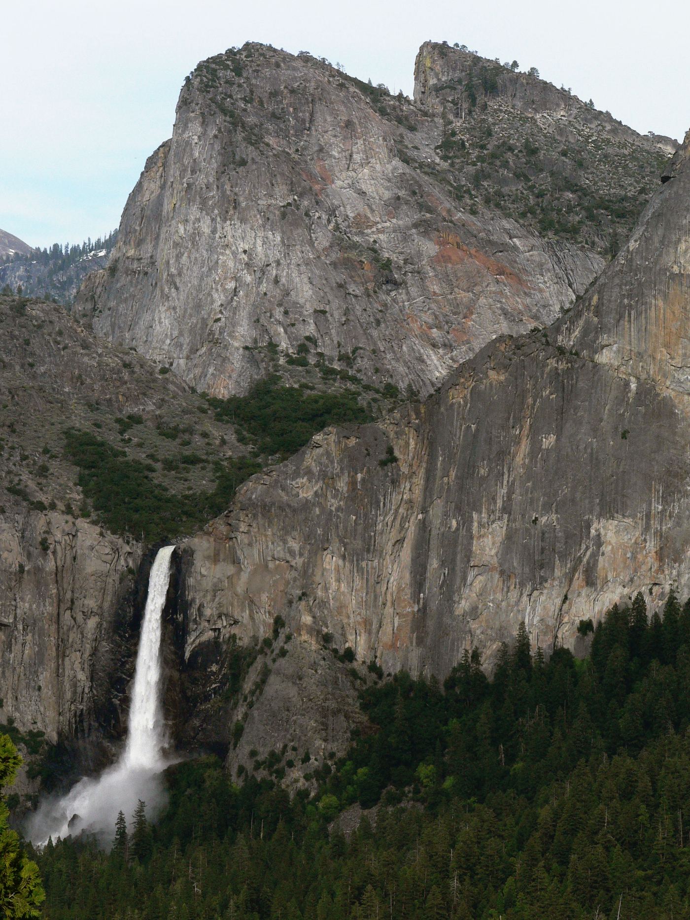
Source-reviewed route and parking
California
0.5 mile round trip
NPS describes the paved trail from Bridalveil Fall Parking Area to the base of the waterfall. The western approach is wheelchair accessible. Remain on the paved trail rather than scrambling beyond the platform.
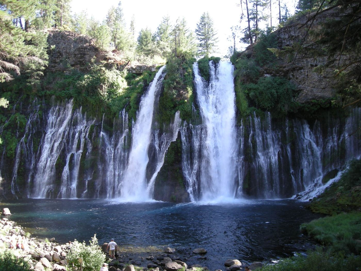
California
Overlook visit; walking distance not specified
Use the Falls Overlook area for the waterfall view. Current notices close the Burney Creek Trail north of Rainbow Bridge to the Rim Trail junction, plus the PSEA Trail.
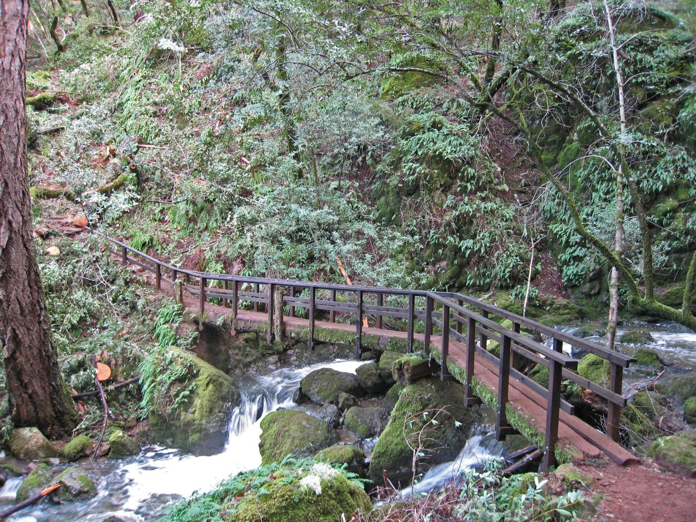
Published state park trail route and fee documented; viewing platform
California
About 1.2 miles return
From the trail map kiosk at the parking lot, take the center path, the Saratoga Gap Trail, down the ravine. Keep right at the Castle Rock Trail junction, stay left without crossing the bridge at the Waterfall Connector junction, cross another bridge, then keep left on the Saratoga Gap Trail at the Ridge Trail fork. At 0.6 mile, take the short spur left to the viewing platform above the falls. Return the same way.
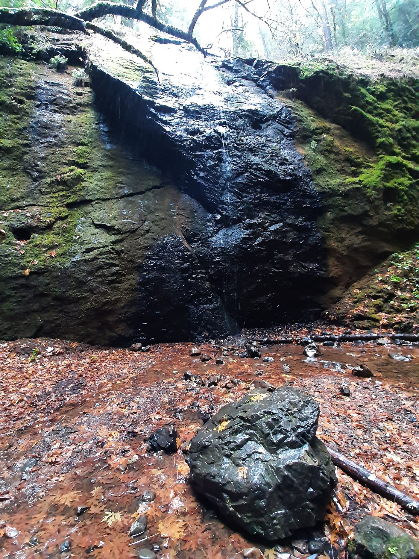
Published trail route; roadside parking at the hairpin
California
Roughly 0.6 to 1.6 miles return to the lower cascades (estimate); about 3 miles return to the top of the trail
Start at the signed trailhead beside Alpine Lake. Follow Cataract Trail along the lake for 0.3 mile, then climb beside Cataract Creek. The large lower cascades, which include this mapped drop, are in the next 0.5 mile. Note that Modern Hiker uses the name Cataract Falls for the last, smaller cascade at 1.3 miles; this listing is the lower drop. Return the same way, or continue up to Laurel Dell.
Visitor-documented trailhead and short stepped trail in Jackson Demonstration State Forest
California
About 0.5 mile return
From Highway 20 at about mile marker 17.3, take unpaved Road 200 north along Chamberlain Creek to the trailhead, about four miles in. Wooden railings mark the trailhead. Descend flights of wooden steps and a steep trail through redwoods to the base of the falls. Return the same way.
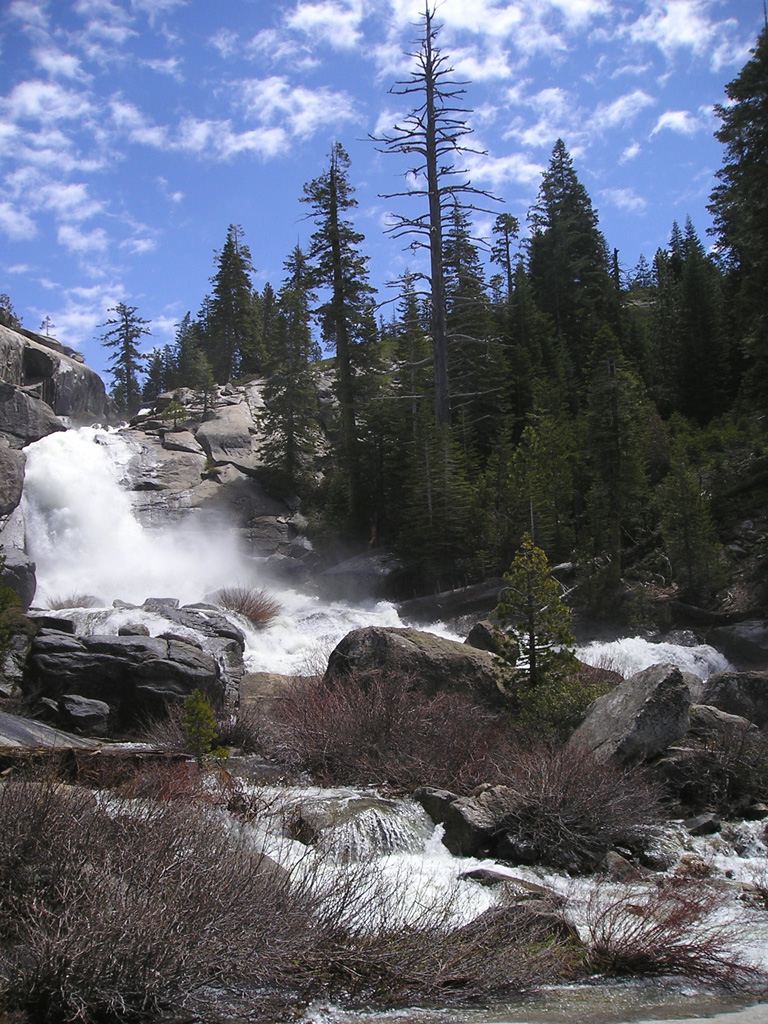
Partial guide: exact cascade position on the route not confirmed
California
8.2 miles return to the top of Chilnualna Falls (park figure)
From the Chilnualna Falls Trailhead near the end of Chilnualna Falls Road in Wawona, follow the trail up beside Chilnualna Creek. The first cascade is about 0.25 mile from the trailhead. The trail then climbs switchbacks toward the top of Chilnualna Falls. This mapped cascade point is high on the creek, near the upper part of the route, but the park source does not name it. Return the same way.
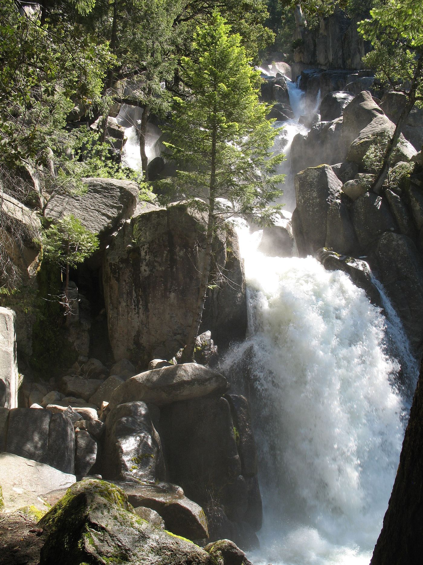
Official NPS trail and trailhead
California
8.2 miles return
Start at Chilnualna Falls Trailhead near the end of Chilnualna Falls Road in Wawona. The trail follows Chilnualna Creek past the first cascade at 0.25 mile, then climbs switchbacks with views over Wawona to the five large cascades above the basin. Allow 5 to 7 hours. Return the same way.
Roadside seasonal waterfall; flows only after rain
California
Under 1 minute from street parking
A seasonal waterfall runs down the bluff beside Dana Point Harbor Drive, across from the marina parking lot, only after heavy rain. Driving west on Dana Point Harbor Drive past Island Way, it appears on the right.
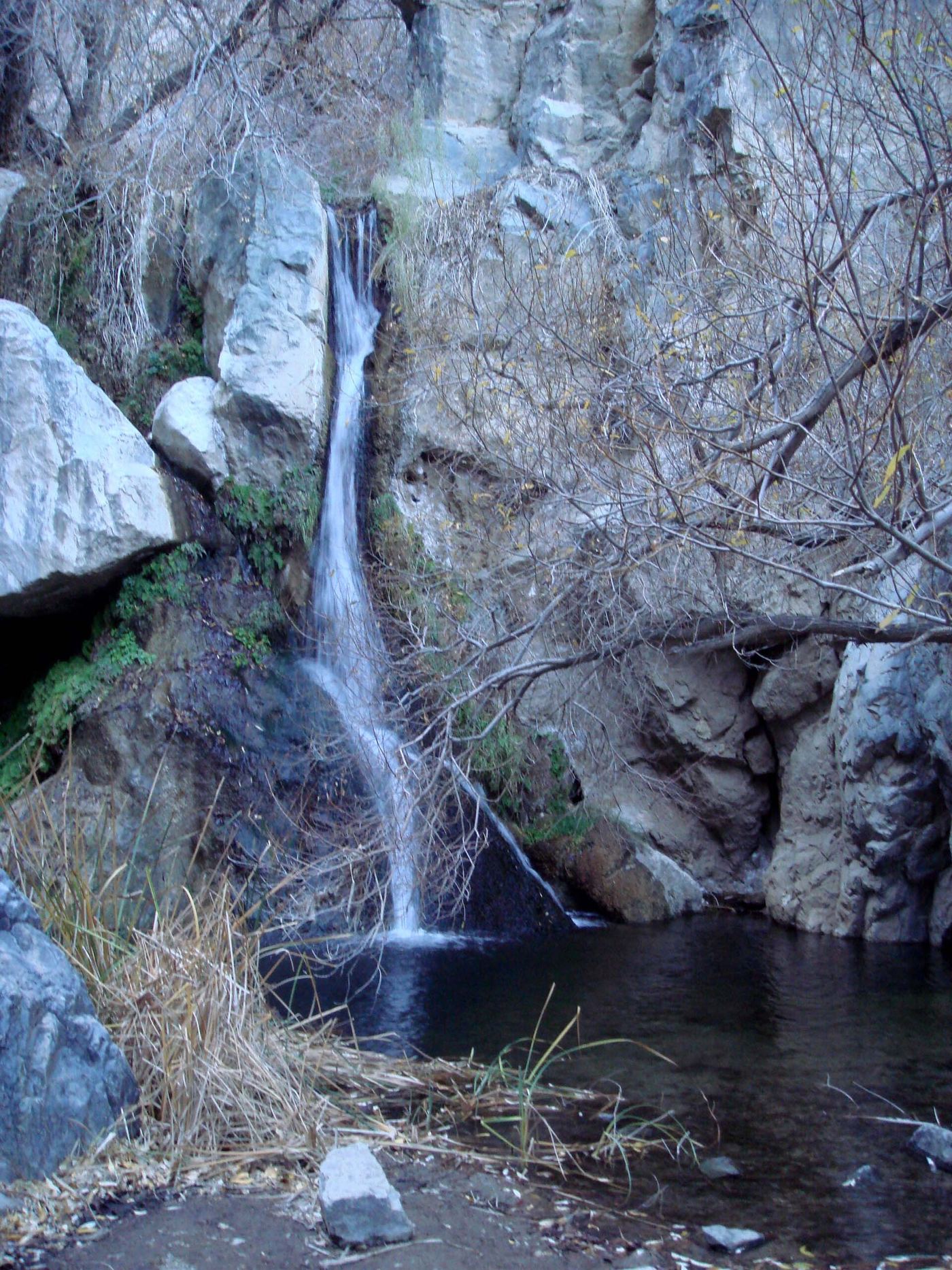
Road closed; longer walking approach
California
7 miles return
Road access is closed. NPS permits a longer walk from the highway to the spring-fed falls; this is an unmarked route.
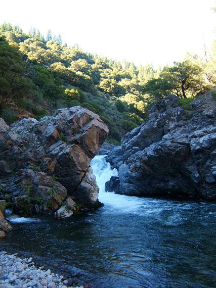
Route and parking researched
California
Short trail; distance not published
The official Lassen National Forest page identifies a short trail marked by an informational kiosk off Highway 32, between Potato Patch and Alder Creek campgrounds.
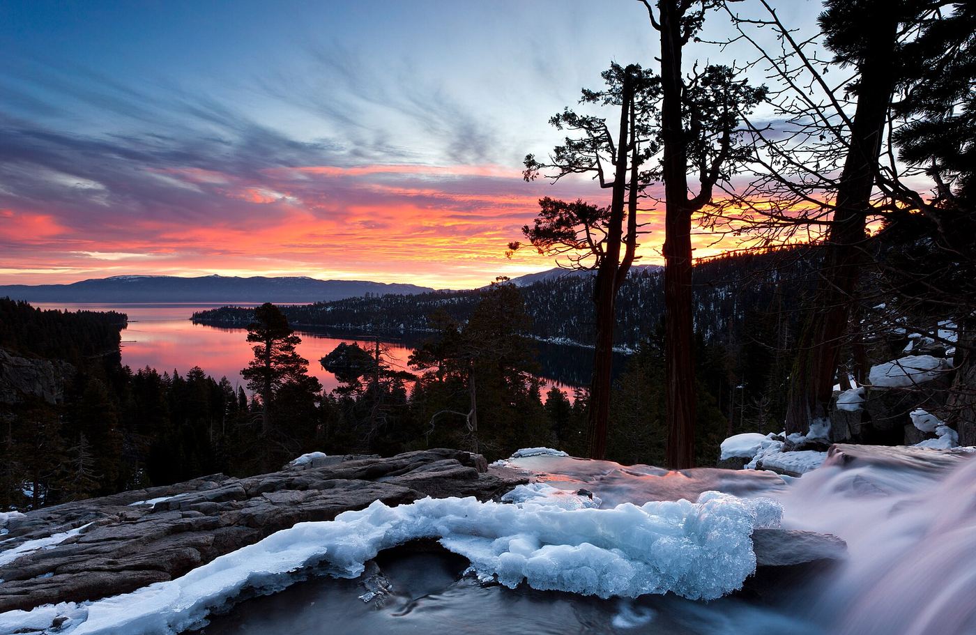
Lower Eagle Falls route verified
California
About 2.5 miles return
These notes cover Lower Eagle Falls at Emerald Bay. Descend from Vikingsholm parking to the visitor center, then follow the falls trail and return uphill.
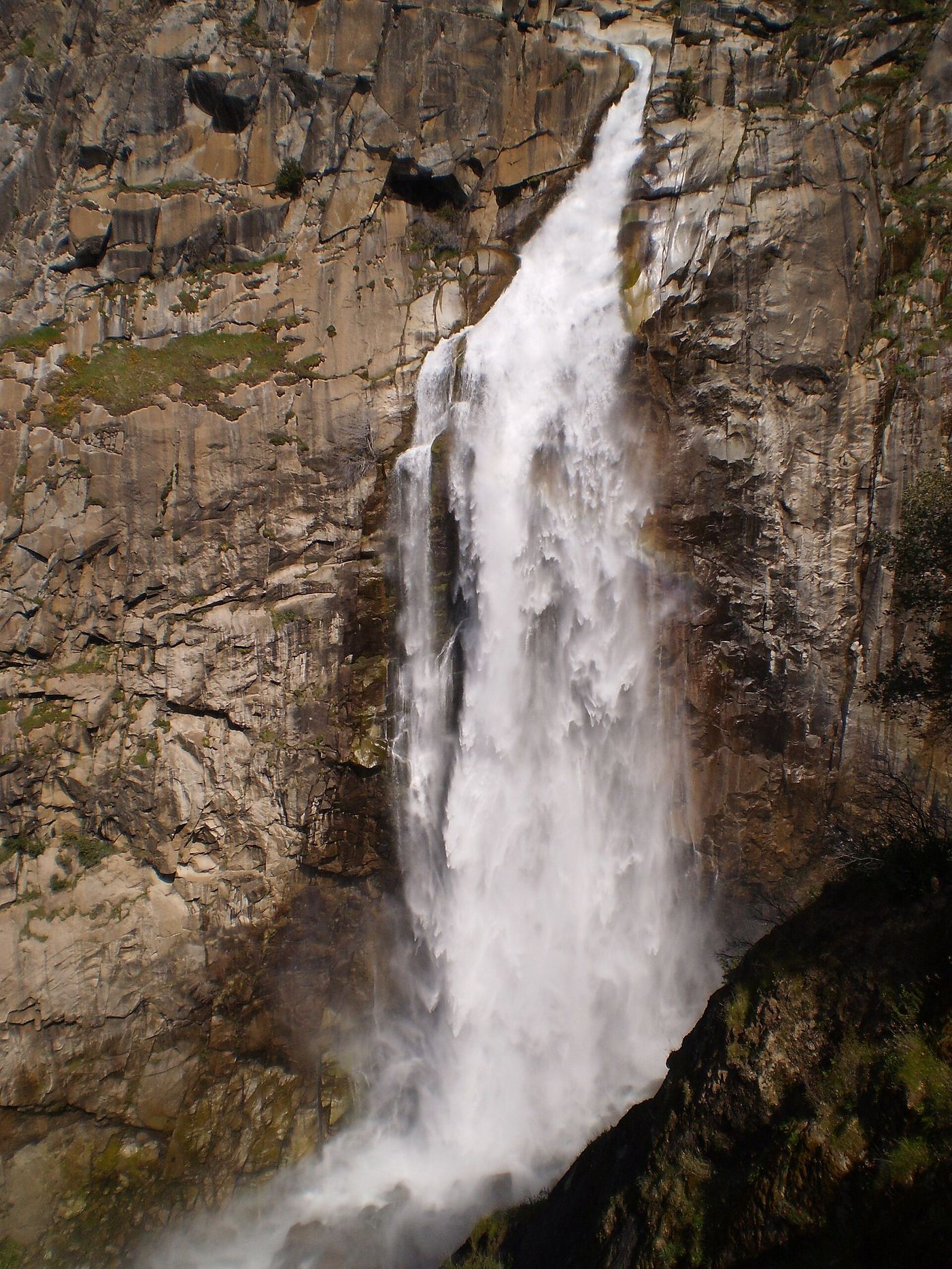
Trail reopened; campground closed
California
Approximately 8 miles round trip
The county tourism authority reports the trail reopened after 2025 restoration. The Forest Service still lists the campground closed.
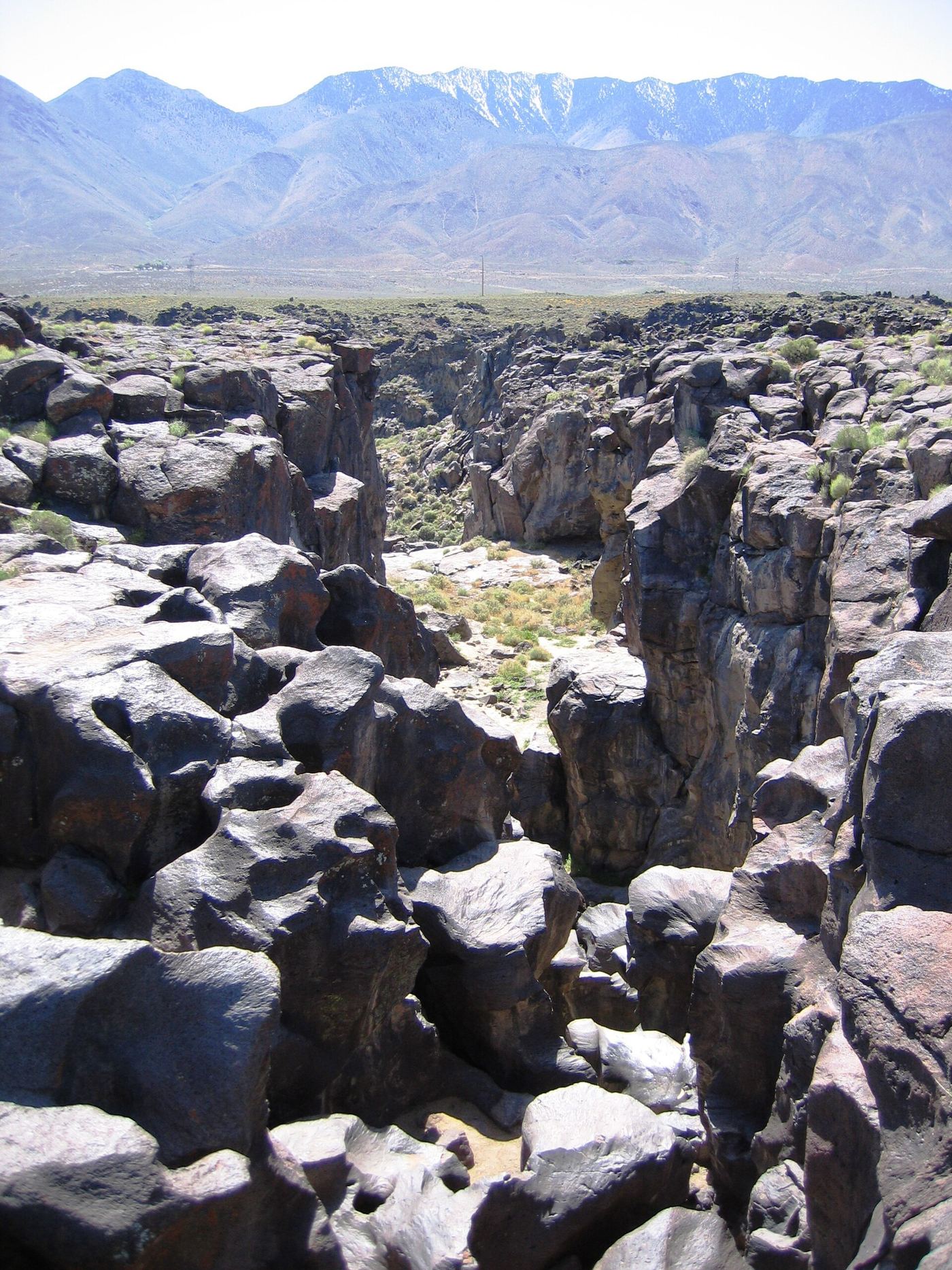
Published short route and parking documented; dry falls, cliff edges
California
About 0.4 to 0.5 mile return
From the parking area at the end of Cinder Road, follow the short trail across the lava to the polished basalt channel of Fossil Falls. The falls are a dry, carved riverbed. Return the same way.
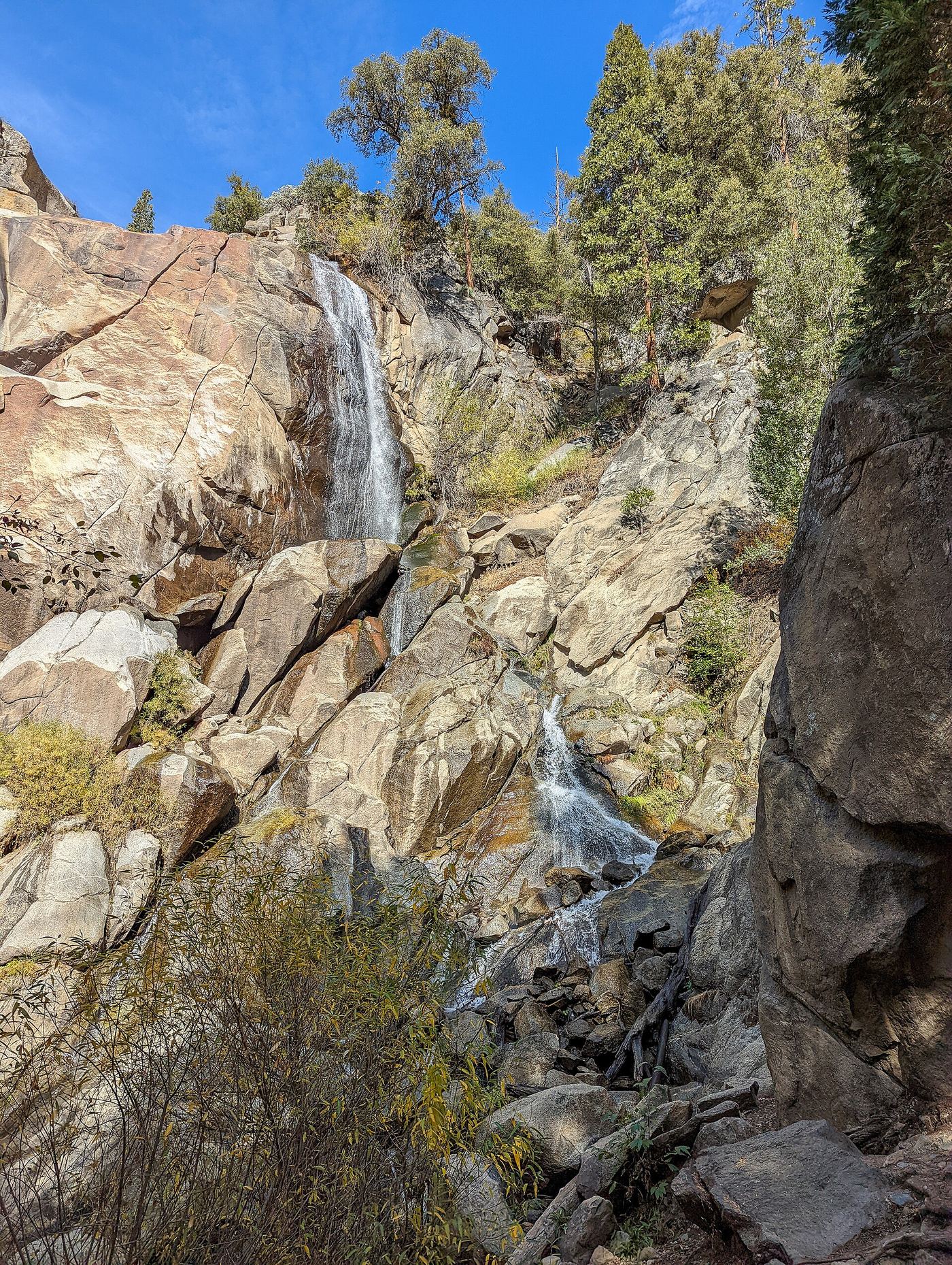
Partial guide: picnic-area walk documented; parking unknown.
California
Short walk; distance unknown
Grizzly Falls and its picnic area are in Sequoia National Forest, 4.6 road miles from Cedar Grove Visitor Center.
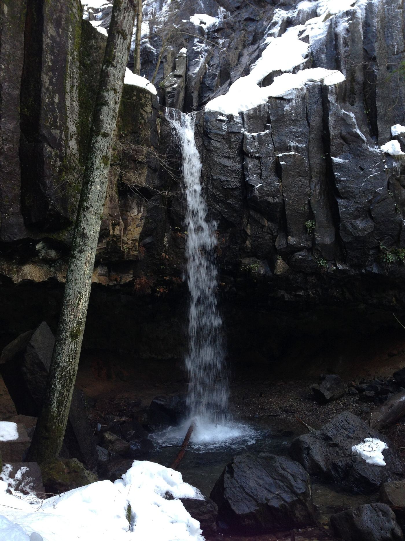
City trail with documented trailhead parking
California
About 0.6 to 1 mile return (sources differ)
Leave I-5 at exit 732 in Dunsmuir. Trailhead parking is at the corner of Siskiyou Avenue and Dunsmuir Avenue, at the end of the offramp. The trail descends to the falls, passes behind the waterfall under the rock overhang, and continues down to a Sacramento River overlook. Return the same way.
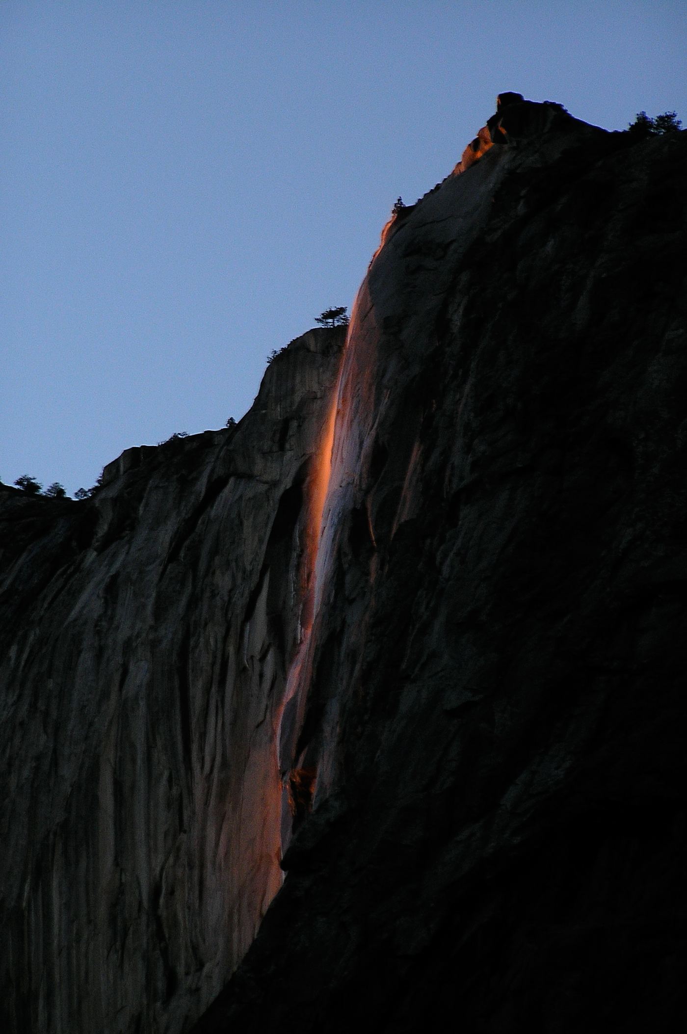
Dated February 2026 viewing route; confirm the next season's access plan.
California
1.5 miles one way; 3 miles return
Yosemite's Horsetail Fall flows from the eastern edge of El Capitan. Its orange sunset illumination depends on flowing water and clear February skies.
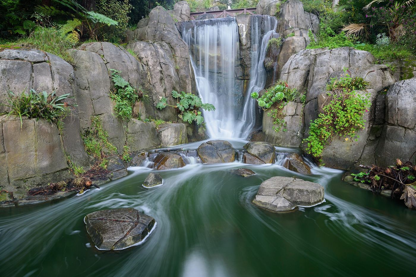
Source-reviewed route and parking
California
Walk length not stated
San Francisco Recreation and Parks identifies Huntington Falls on the lake-perimeter trail at Blue Heron Lake, formerly Stow Lake. Bridges connect the lakeshore with Strawberry Hill.
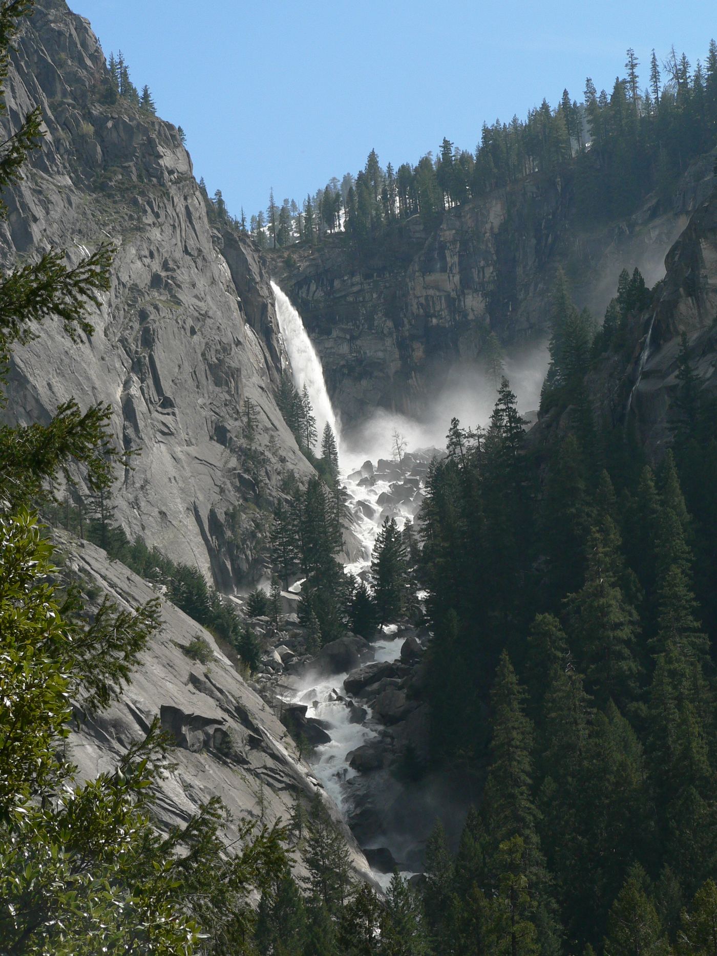
Published trail route documented; Glacier Point Road open when checked
California
About 4 miles return
From the Panorama Trailhead at Glacier Point, walk down the Panorama Trail. The fall can be seen from points along the descent and best near where the trail crosses Illilouette Creek, about 2 miles down. Return the same way, climbing back up to Glacier Point.
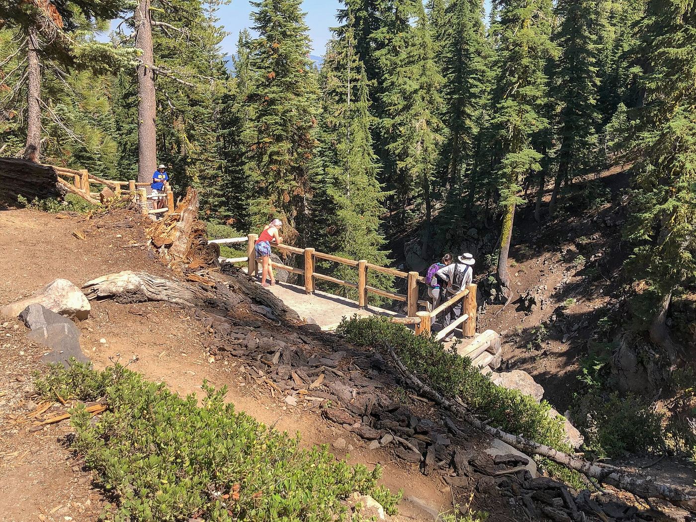
Conflicting access information
California
2.3-mile loop; conditions table lists 2.8 miles return
Descend to the fenced falls overlook. As checked October 27, 2026, the hike page says partly open for repairs, while the conditions table lists hiking access. Exact affected sections are unknown.
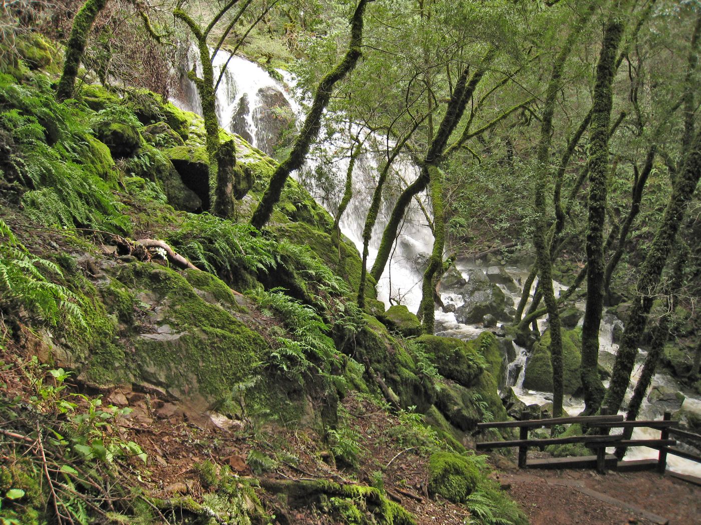
Partial guide: route to Laurel Dell documented; exact drop not named in sources
California
About 1.8 miles return (source figure)
Park at the Laurel Dell Trailhead at the gate on Laurel Dell Fire Road. Walk down the fire road 0.8 mile to Laurel Dell Picnic Area, then take the Cataract Trail on the left to the first cascades of Cataract Creek. The sources do not name a separate Laurel Dell Falls, so the exact drop for this listing is not confirmed.
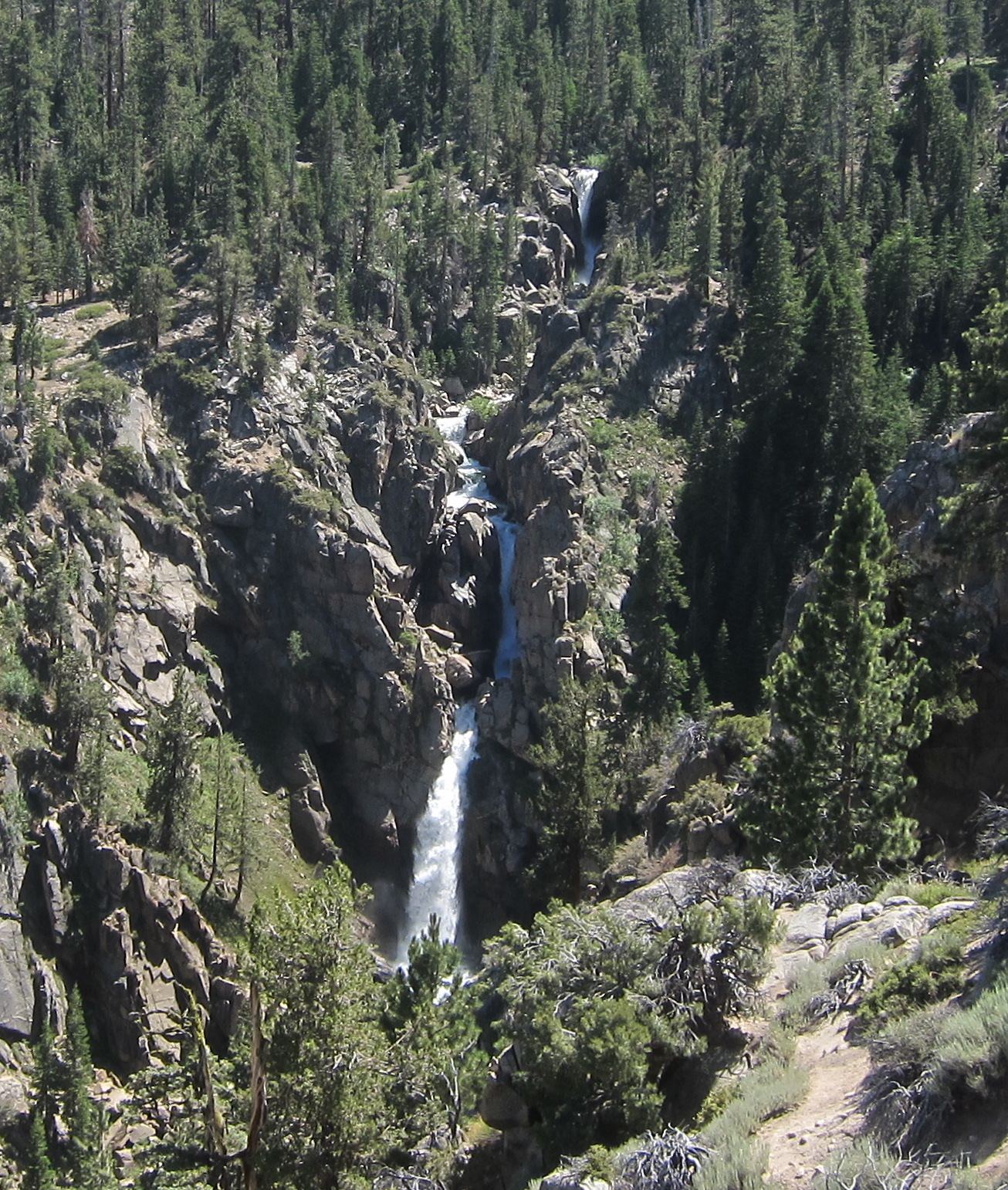
Source-reviewed route and parking
California
Viewpoint walk; distance not stated
Mono County tourism identifies the scenic turnout on Sonora Pass Road. Sierra Nevada Geotourism describes a platform looking into the steep canyon toward the falls.
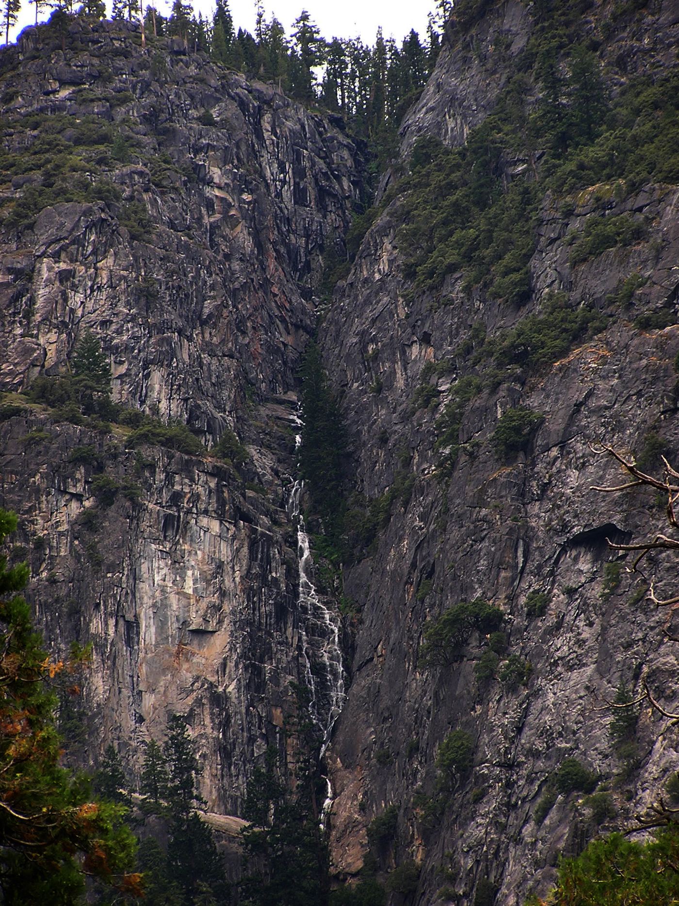
Partial guide: distant view only; no named viewpoint or parking
California
Valley floor view; distance depends on where you stand
Lehamite Falls is a seasonal series of cascades in Indian Canyon, just right (east) of Yosemite Falls, seen above Yosemite Village. A 2021 hiking account spotted it from near Swinging Bridge on the Valley Loop Trail. No official viewpoint is named. A climbing route page describes a rough hike up Indian Canyon; that approach is not covered here.
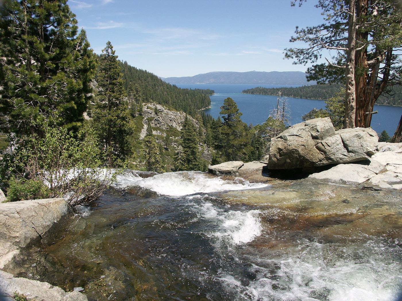
Official state park trail
California
About 2.5 miles return
Park in the Harvey West lot beside Highway 89 at Emerald Bay. Walk the steep Vikingsholm Trail one mile down to Vikingsholm at lake level. Lower Eagle Falls is a quarter mile behind the Visitor Center; the path does not make a loop. Return the same way, climbing back to the highway. There are no rides out.
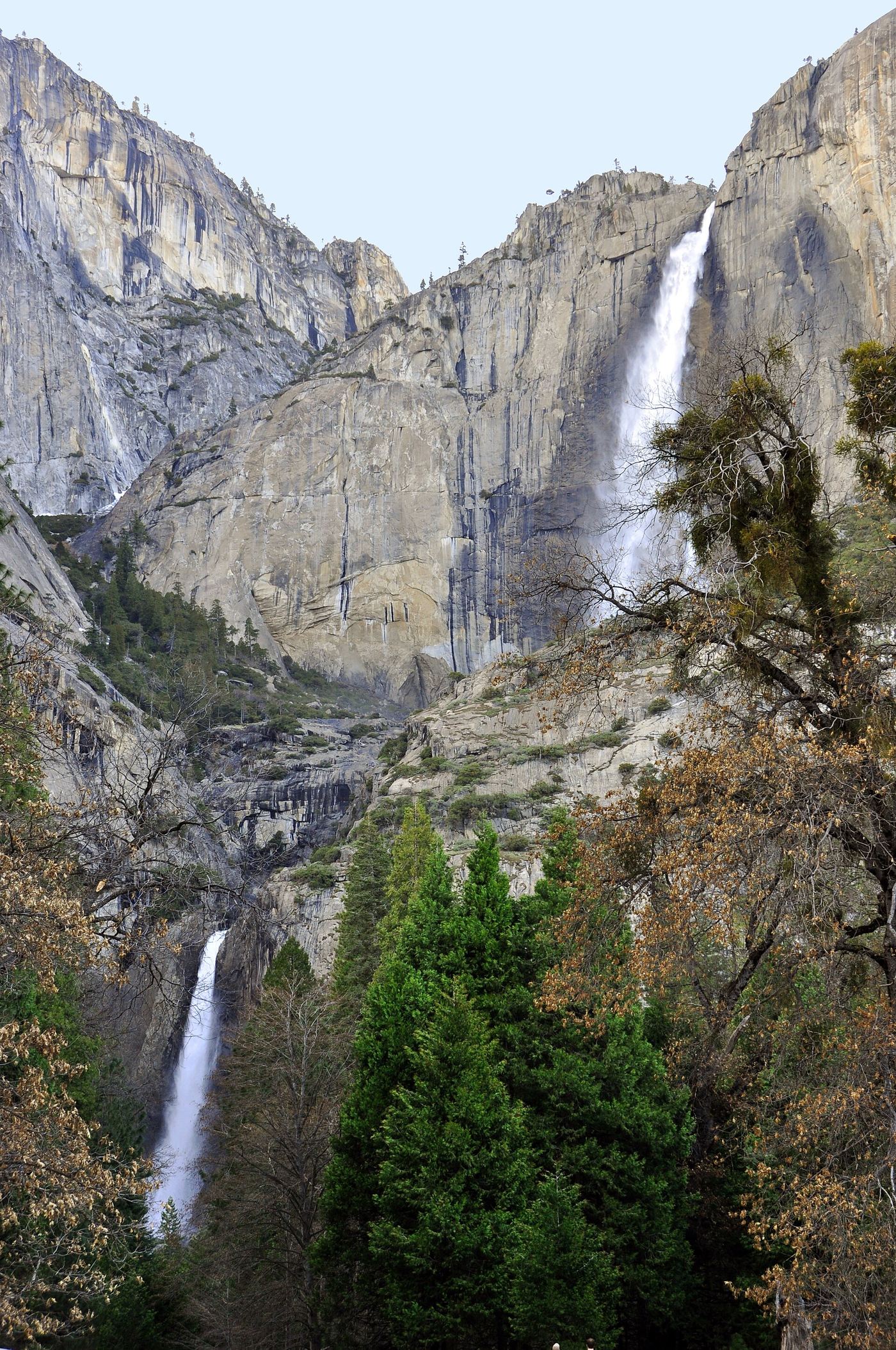
California
1-mile loop
This paved loop visits the base of the lower fall. It is a different route from the much longer hike to Upper Yosemite Fall.
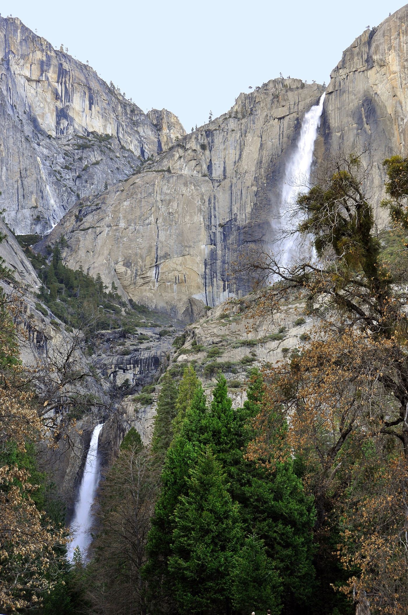
Specific viewpoint approach and parking unconfirmed
California
Walking distance not confirmed
NPS explicitly says the middle cascades cannot be seen from the Lower Yosemite Fall base viewpoint. It directs visitors seeking the full waterfall view to Cook’s Meadow or the west side of the Lower Yosemite Fall loop.
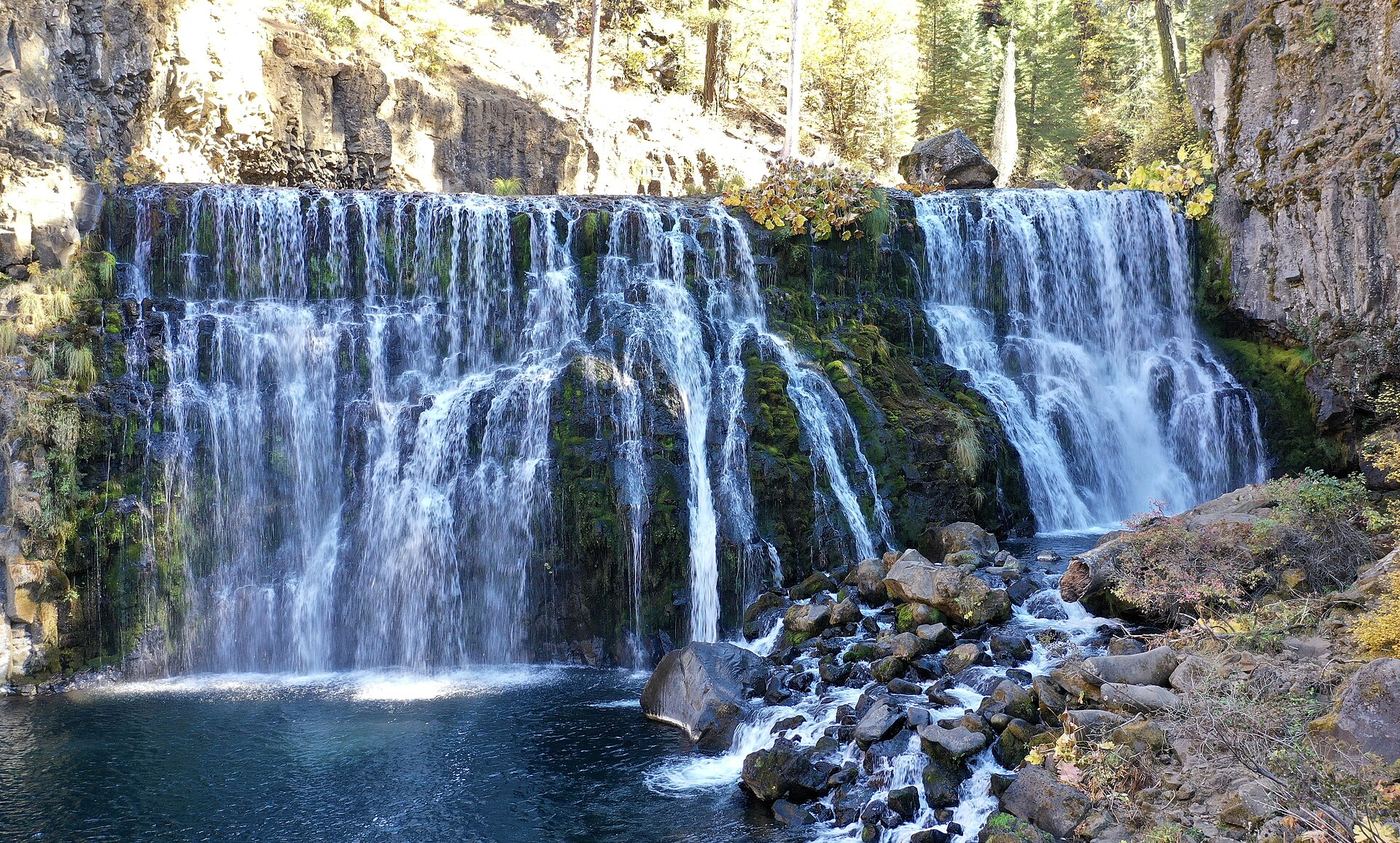
Seasonal road closure; winter walk unmeasured
California
Winter parking-to-falls distance unconfirmed
Motor-vehicle access to Middle Falls and Middle Falls Overlook roads is closed October 5, 2026–May 1, 2027 under Forest Order 14-26-12. The trail association identifies winter parking by the Highway 89 gate.
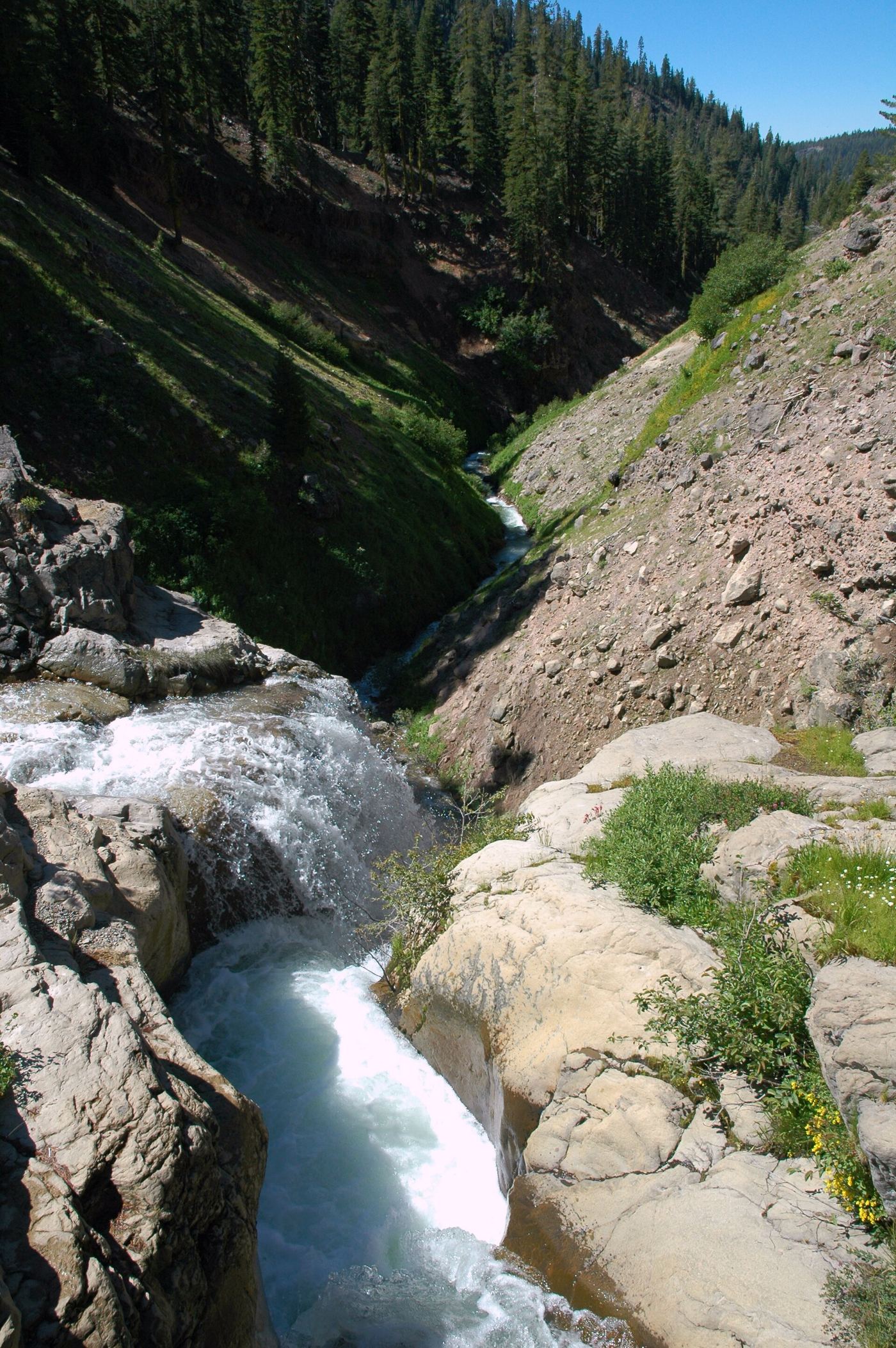
Official park trail
California
3.8 miles return (source figure)
Start behind the amphitheater next to the southwest parking area in Lassen Volcanic National Park. The trail dips in and out of gullies, crosses West Sulphur Creek and reaches Mill Creek Falls, the tallest waterfall in the park at 75 feet. Return the same way.
Camp closure posted; road and falls access unverified
California
Approach status unverified
Altadena Trail Stewards identifies the waterfall trail starting at Millard Campground. USFS still lists the camp closed after the Eaton Fire; county road notices give an expired or imprecise reopening target.
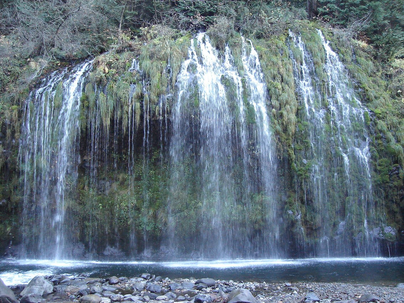
Public trail proposed; legal approach unverified
California
No verified public route
The City of Dunsmuir is seeking funding for a public trail. Its current page calls access along the active railroad illegal and dangerous.
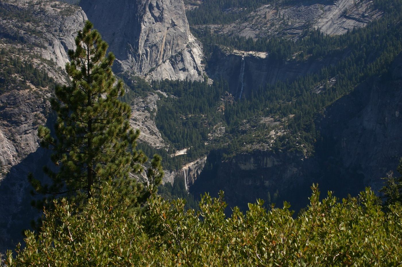
Official park trail; strenuous
California
5.4 miles return via the Mist Trail (source figure)
Start at Happy Isles. Climb the paved trail to the Vernal Fall footbridge, take the Mist Trail up granite steps past Vernal Fall, then continue 1.5 miles of steep switchbacks to the top of Nevada Fall. Cross the footbridge above the fall for a closer view. Return the same way or by the John Muir Trail.
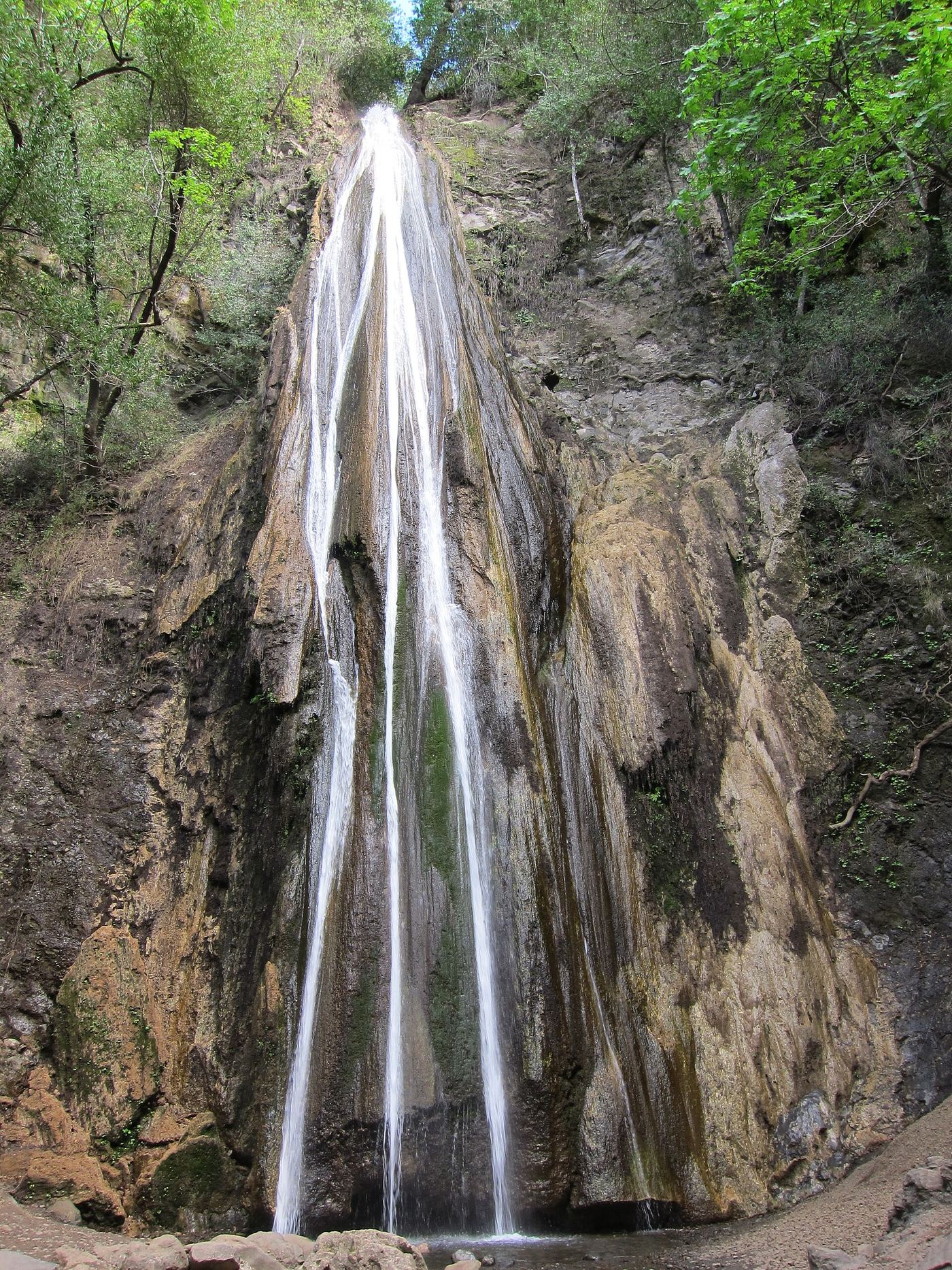
Published county park route and parking documented
California
About 1 mile return
From Highway 101, take Old Coast Highway to Alisal Road and turn into Nojoqui Falls Park. Drive to the back of the parking lot, where a restroom and a sign mark the waterfall trail. Follow the forested trail across a small creek and small bridges to the base of the falls. Return the same way.
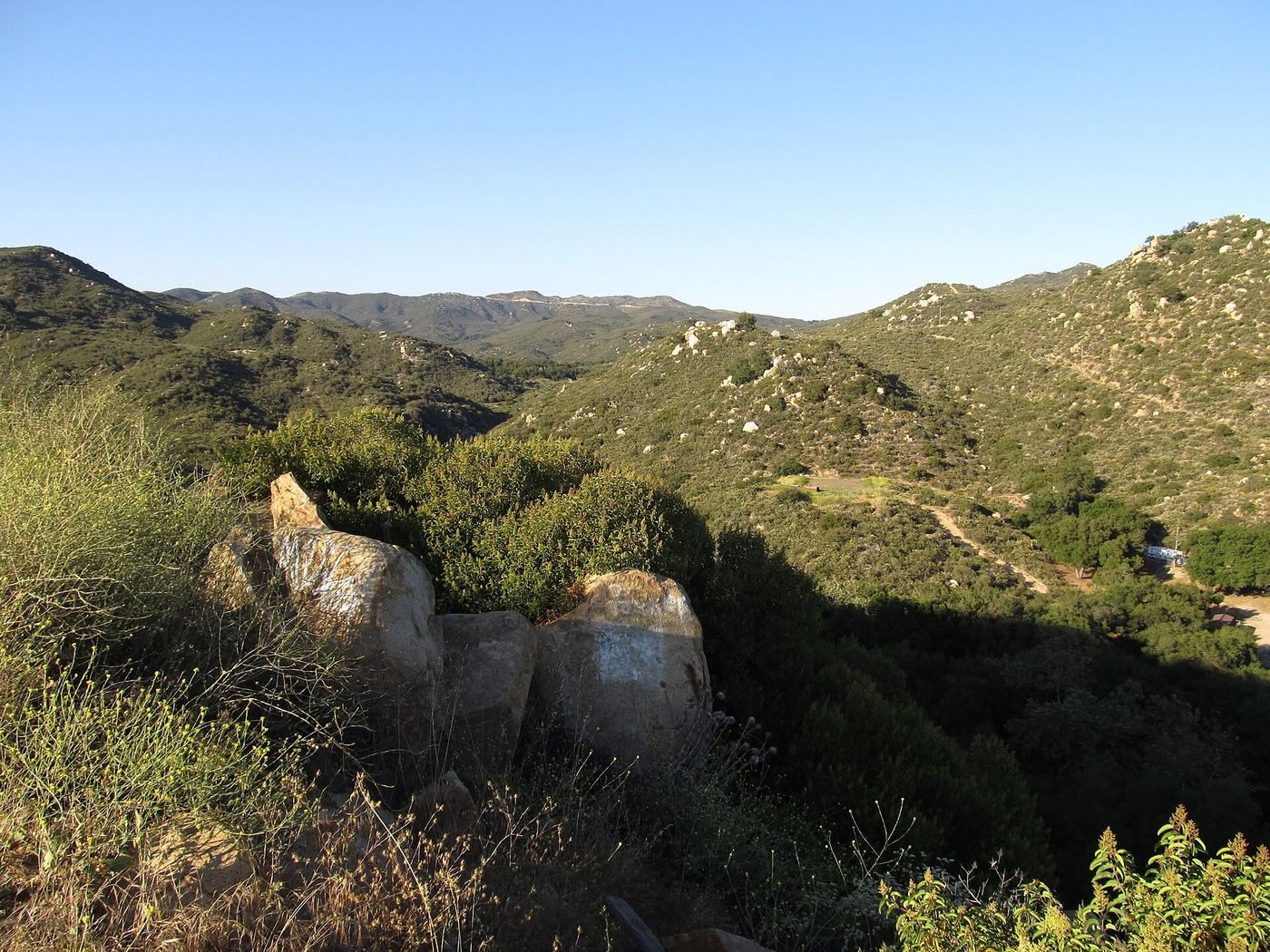
Short published path from a highway turnout
California
About 0.33 mile return
Park at the unmarked turnout on the north side of Ortega Highway. Take the path down toward the ravine, but do not drop all the way to the creek; go uphill along the lip of the canyon on the dirt and rock trail to the rock amphitheater at the base of the 35-foot falls, less than a quarter mile from the start. Return the same way.
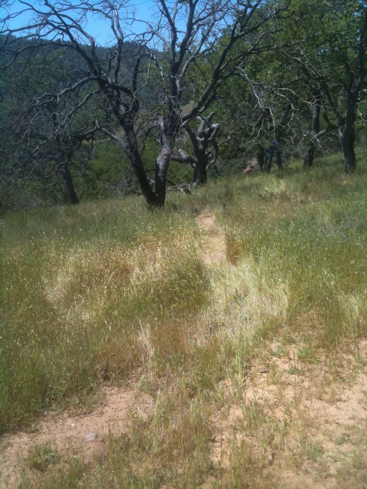
Official park backpacking route; strenuous multi-day trip
California
9.3 miles one way (park figure); planned as a 2 to 3 day trip
The park’s backpacking handout starts at Hunting Hollow on Gilroy Hot Springs Road, fords the creek and climbs the very steep Steer Ridge Trail, then continues through remote country to Pacheco Falls. Near the falls, a narrow trail on the left leads to a rocky outcrop with the best view from above. Camping is available at Wood Duck Pond, a quarter mile up Pacheco Falls Trail.
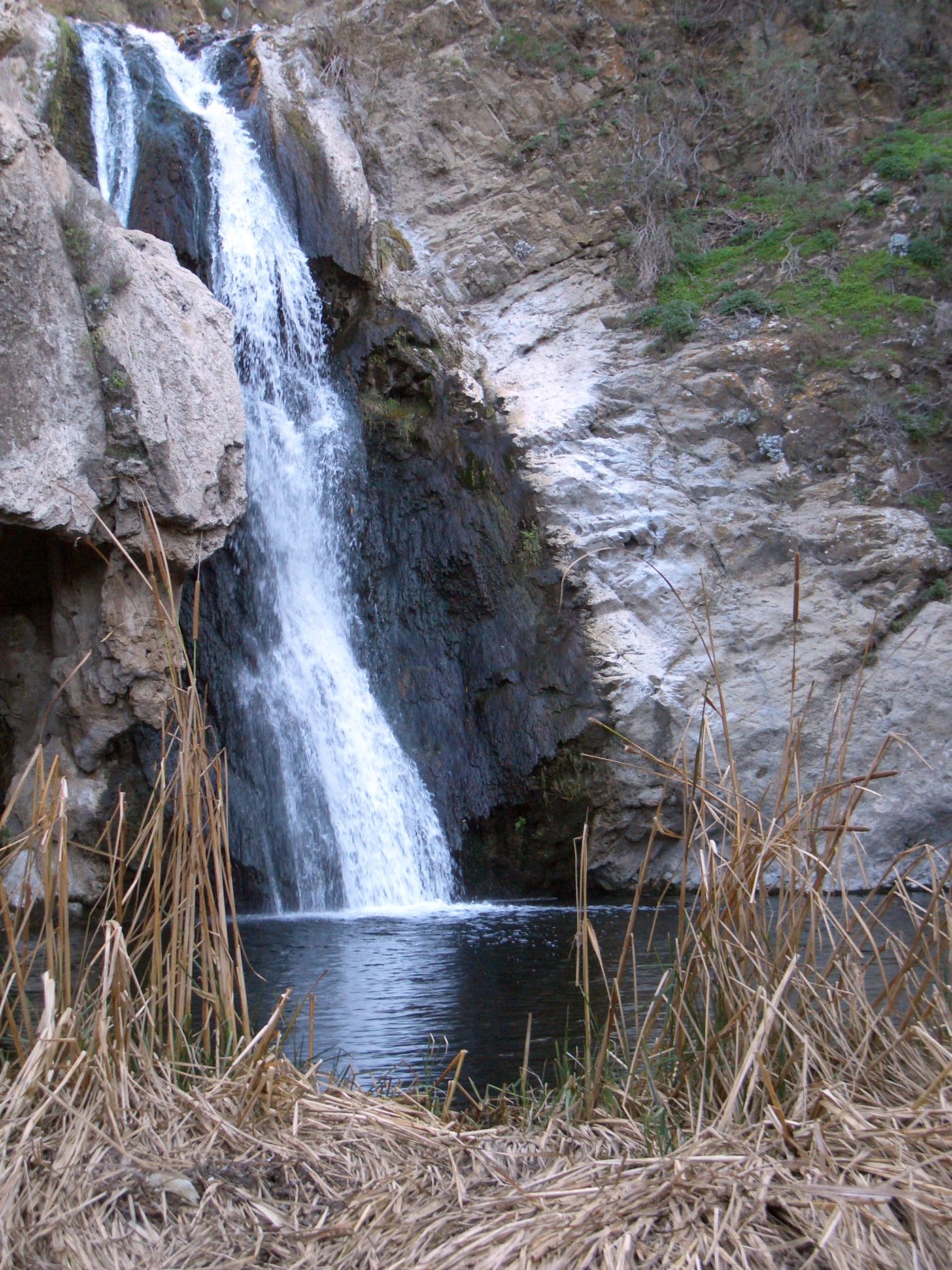
Signed park trail; check current COSCA closures
California
About 2.15 miles return
From the main Wildwood Park lot, head west on Mesa Trail. After about 0.35 mile turn left onto North Tepee Trail at the Paradise Falls arrow. At the tepee, turn right and descend Tepee Trail, then follow the Paradise Falls signs down the canyon to Wildwood Canyon Trail and the pool below the falls. Return the same way; the walk back is uphill.
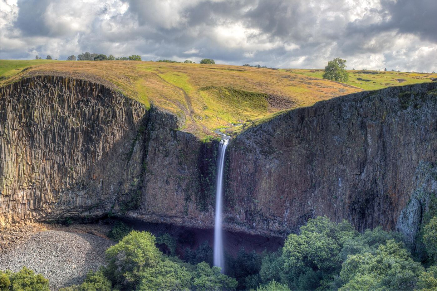
Approach verified on the official map; paths are unmaintained.
California
Approximately 1.32 miles one way; 2.64 miles return
Phantom Falls is labeled Coal Canyon Falls on CDFW's reserve map.
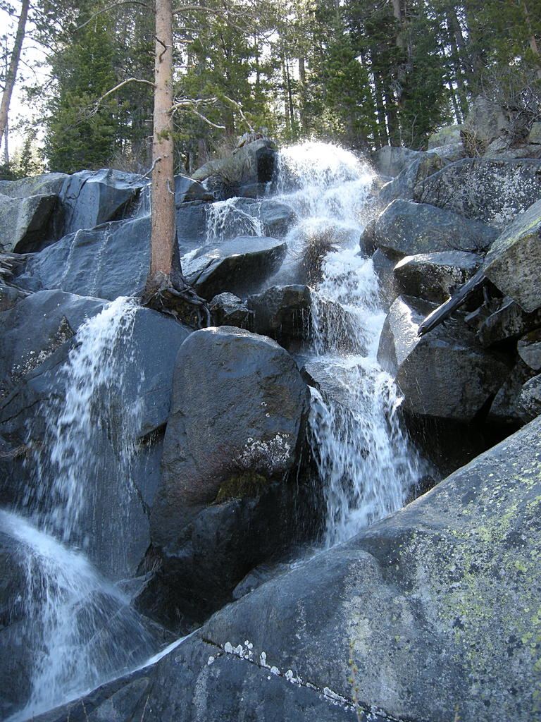
Approach or parking partly unconfirmed
California
Roadside view; no measured walk
World Waterfall Database reports an in-person survey and locates this unofficially named fall beside Tioga Road, a quarter mile east of Yosemite Creek Picnic Area. It also identifies the name Tioga Pass Falls.
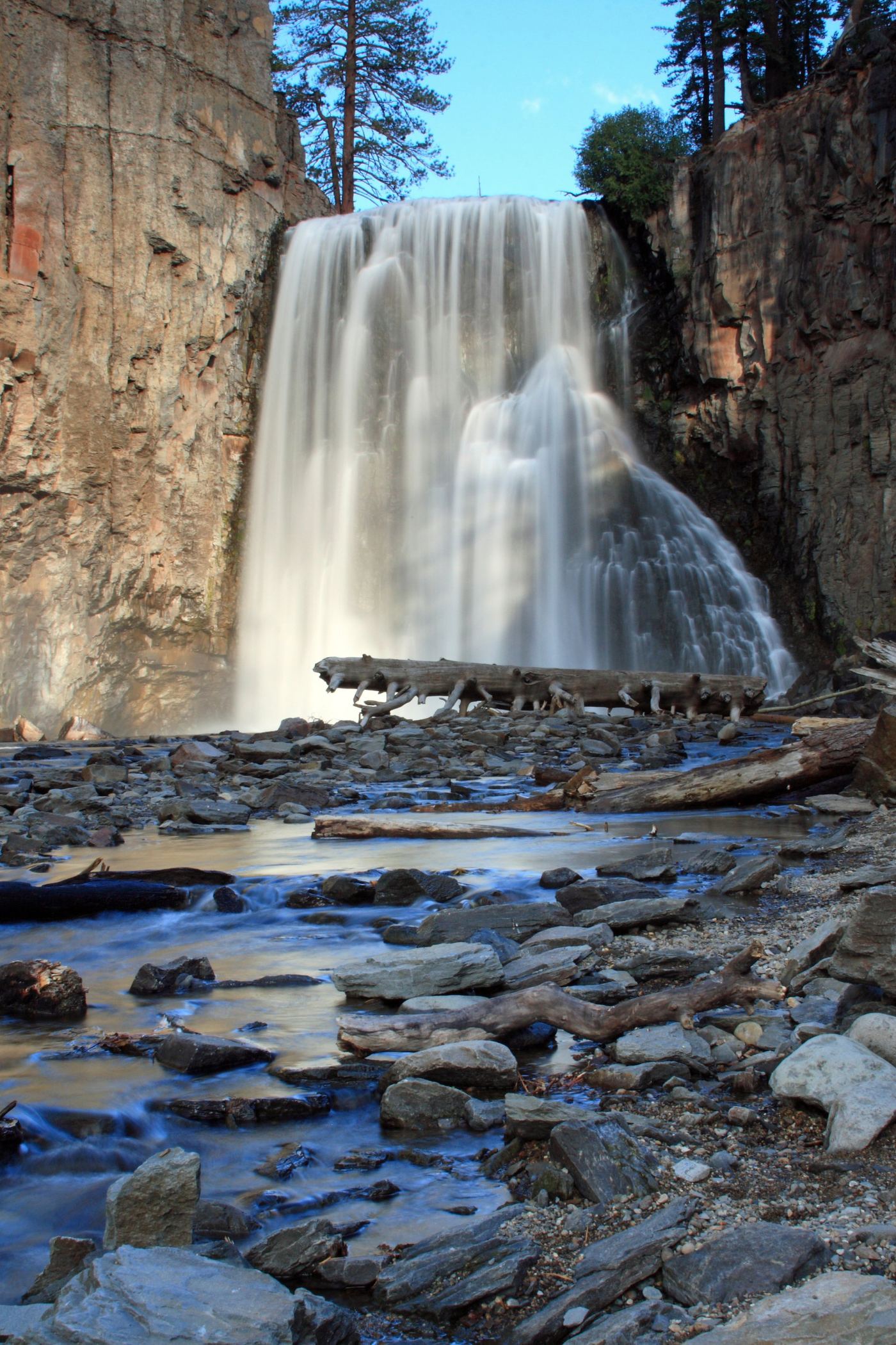
Road closed weekdays through November 1, 2026; full road closure from November 2. Partial guide: day-use parking approach unverified.
California
5 miles return from the ranger-station trailhead
Rainbow Falls is reached by a rolling trail in Devils Postpile National Monument. Road construction sharply limits access in late 2026.
Partial: park viewpoint; flow and parking not confirmed
California
Roadside viewpoint; walking distance from parking not published
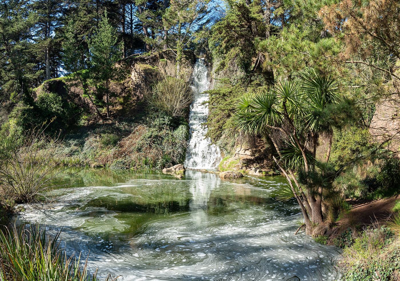
Rainbow Falls is a man-made waterfall built in 1930 in a former quarry in Golden Gate Park. Water drops more than 50 feet in two steps and is pumped back up from Lloyd Lake. View it from the north side of JFK Promenade, about 700 feet east of the Transverse Drive intersection, below the Prayerbook Cross. The sources do not confirm that the pump is running on any given day.
Official NPS trail; long day hike or overnight
California
About 13 miles return (NPS figure)
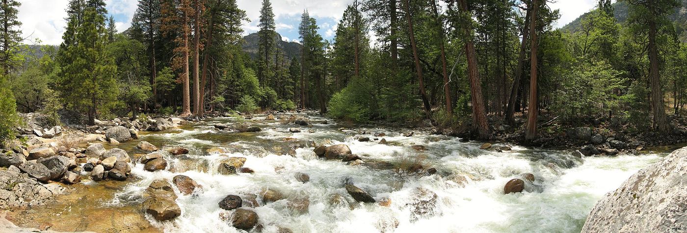
Start at O’Shaughnessy Dam. Cross the dam and pass through the short tunnel, then follow the trail along the reservoir shoreline past Tueeulala and Wapama Falls and on to Rancheria Falls. Return the same way. It can be done as a long day hike or an overnight trip.
California
Roadside view; no measured walk specified
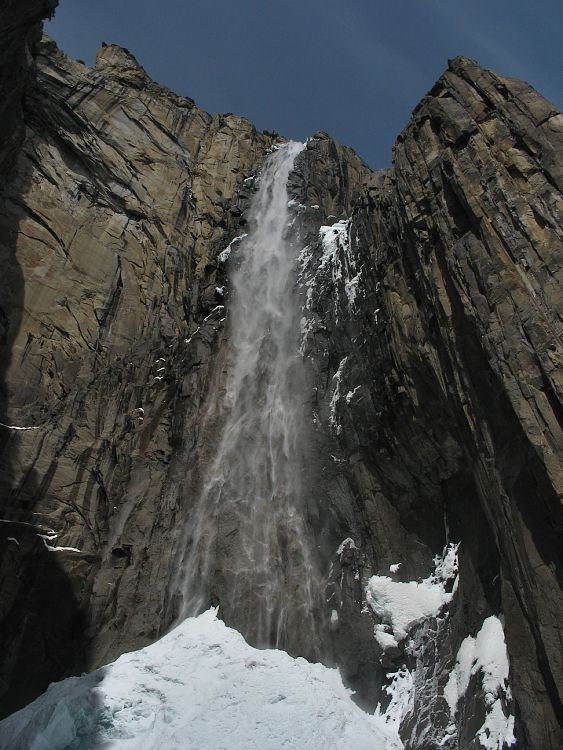
Look for Ribbon Fall from the road entering Yosemite Valley just beyond the Bridalveil Fall turn. NPS identifies parking in turnouts.
California
0.10-mile approach
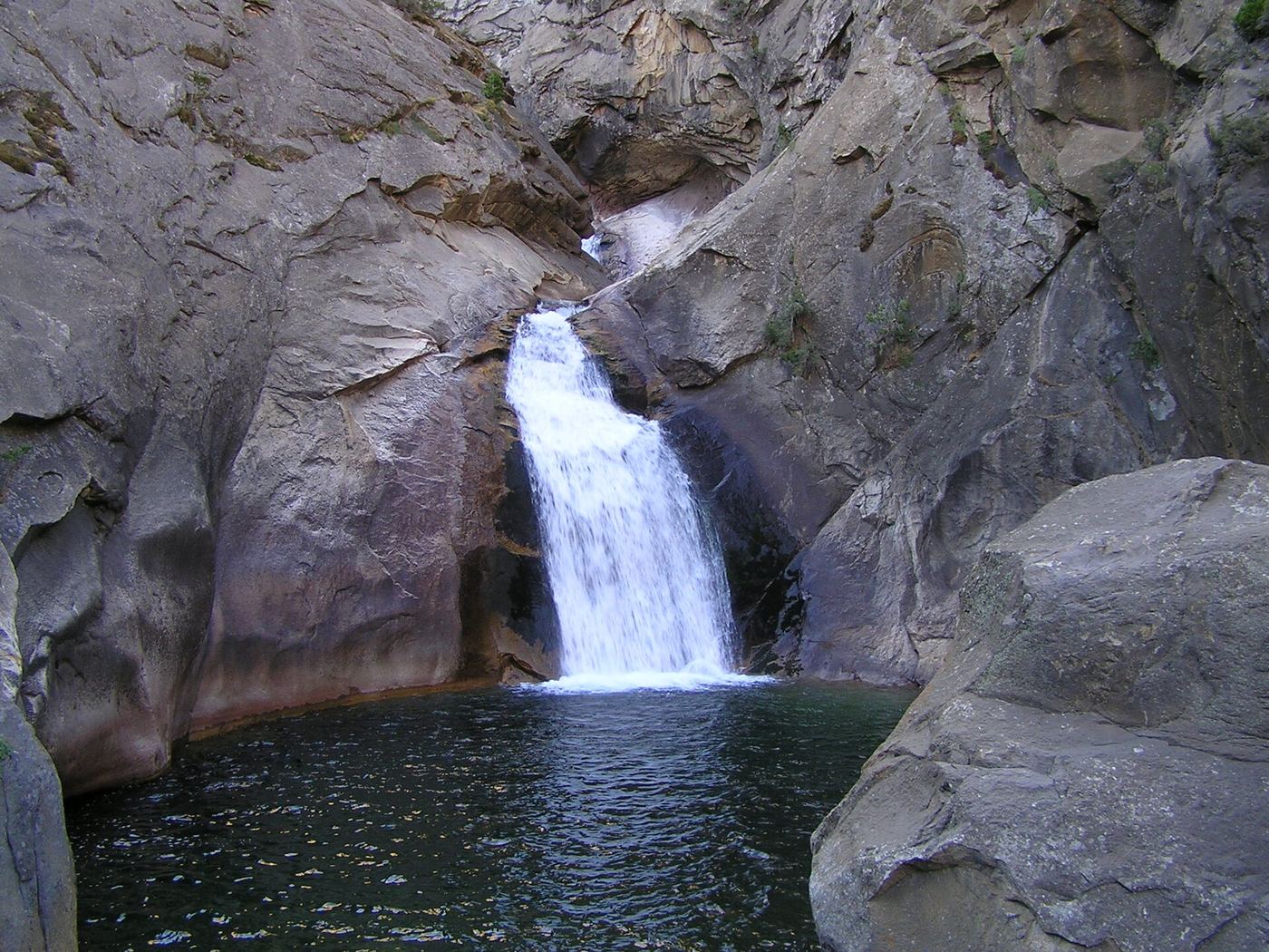
Follow the short paved path to a small viewing landing in Cedar Grove.
Official location note; parking and approach unknown
California
Viewing approach unknown
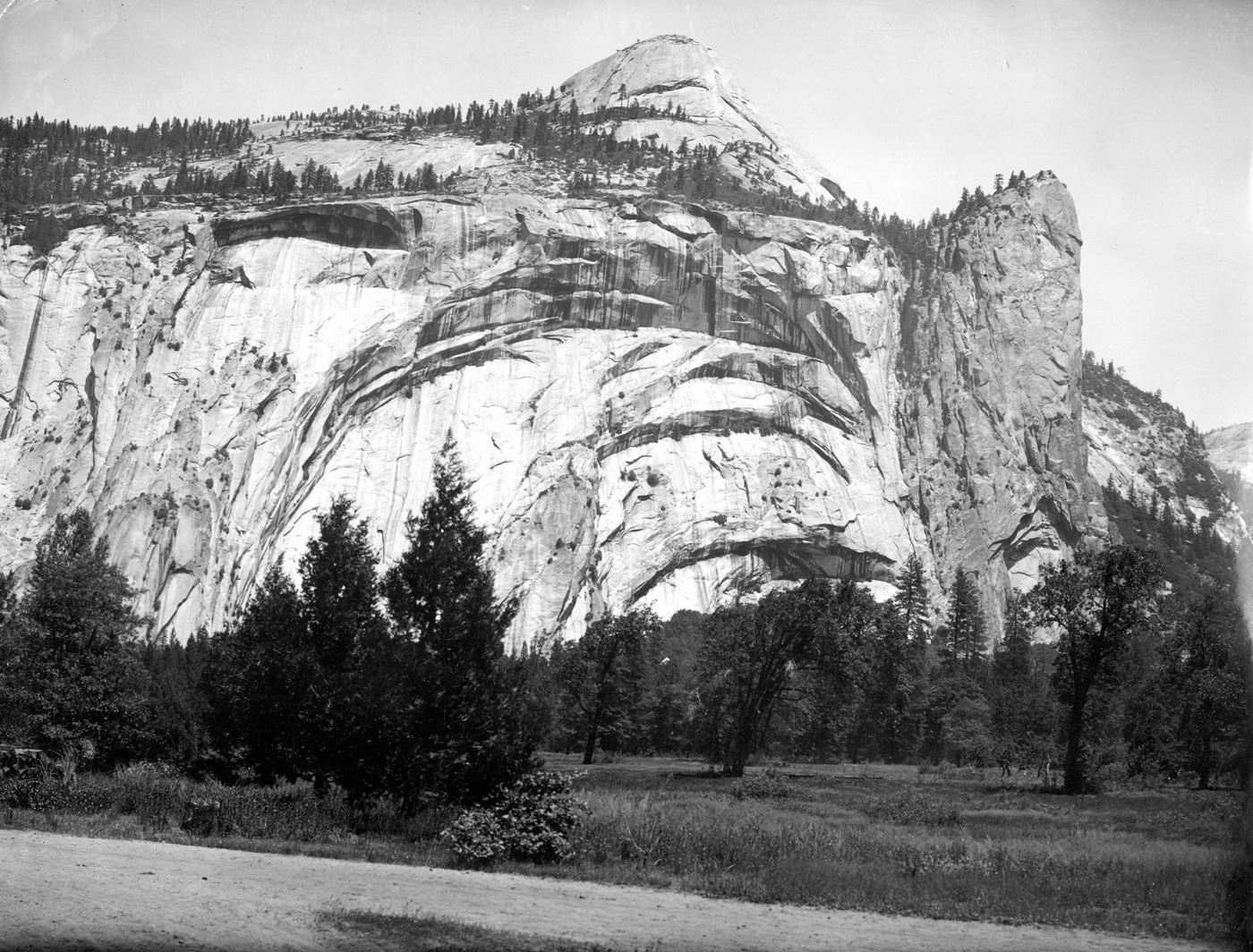
The NPS valley description identifies seasonal Royal Arches Cascade above the Ahwahnee, in its discussion of the view from Stoneman Meadow.
Permitted parking and current access unconfirmed
California
1.4 miles round trip
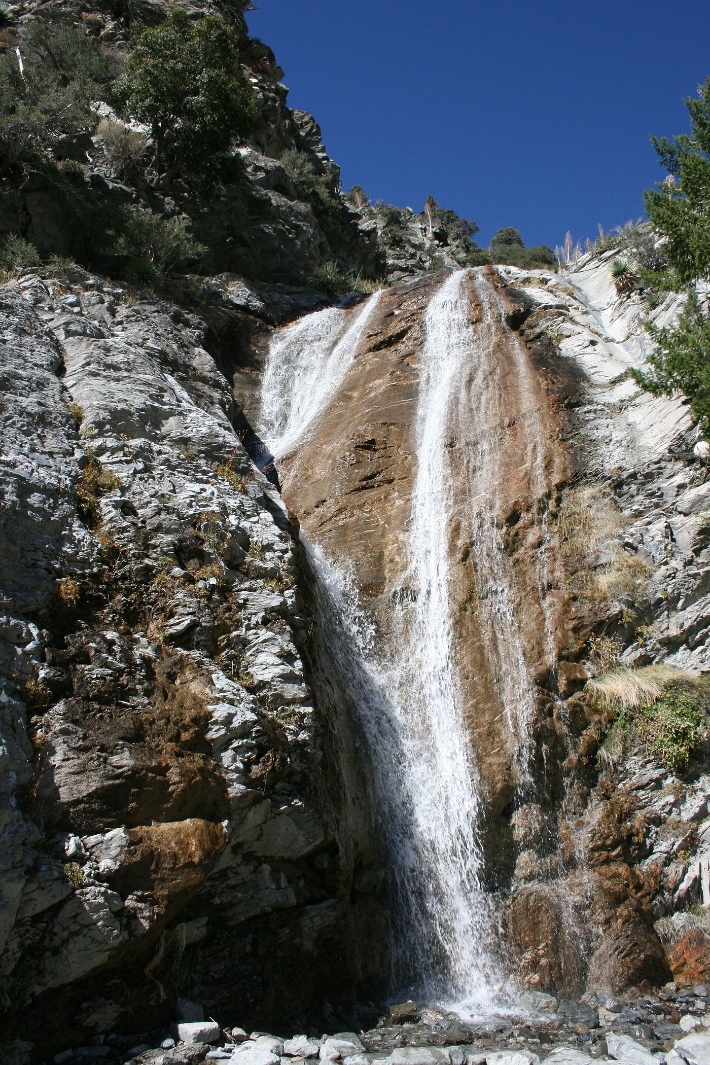
CalWild’s route starts by the pedestrian-access gate near Manker Campground. Most of the route is paved; visitors can view the falls before the difficult dirt descent.
Partial guide: unmarked use trail; exact pullout not confirmed by an official source
California
Under 3 miles return
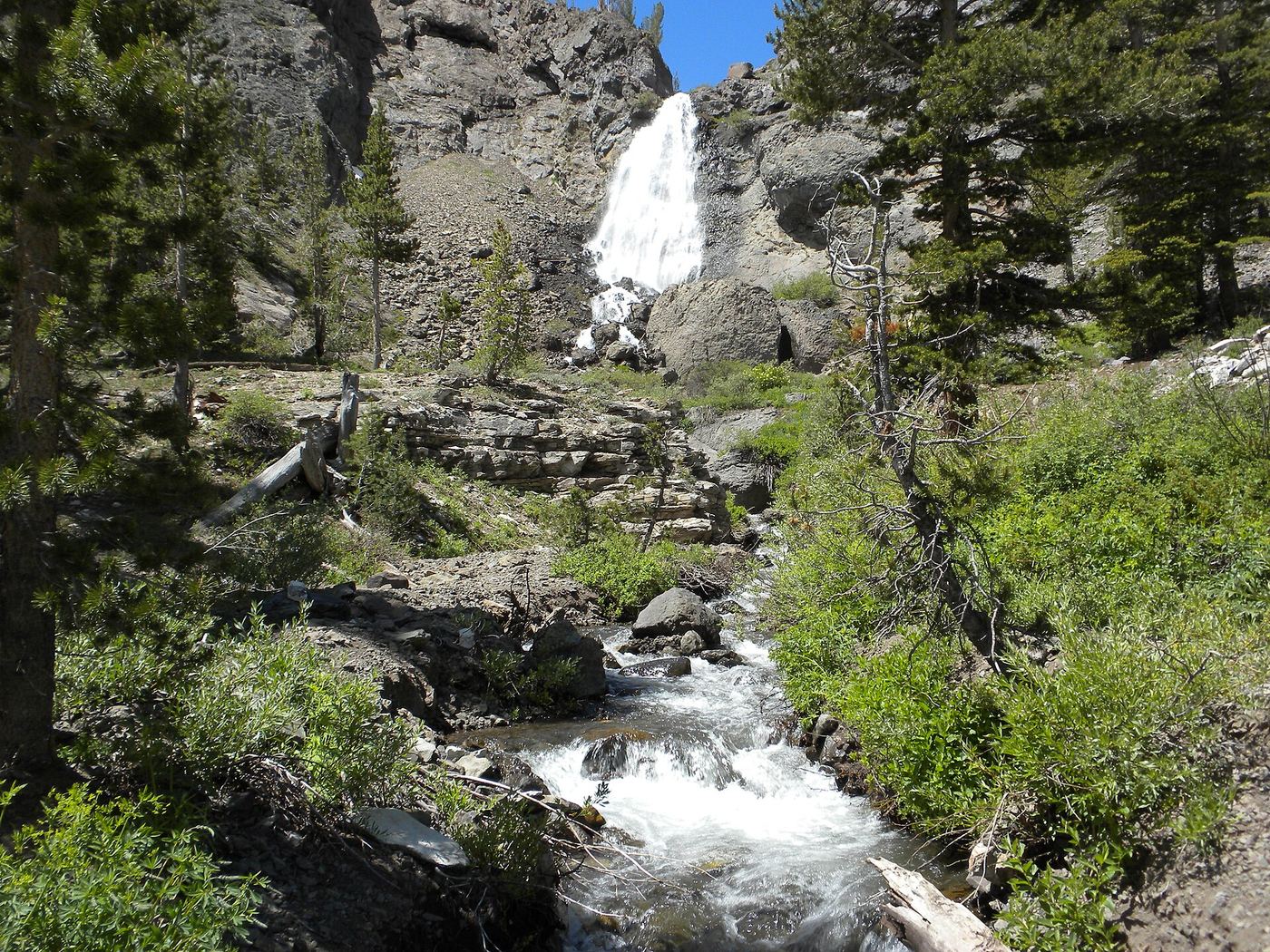
Ted Muller's 2012 account starts at a turnoff to an old road off Highway 108 on the way up Sonora Pass, where signs ban motor vehicles. The two-track becomes a use trail across Sardine Meadow; at a junction keep left toward McKay Creek. Near the cliff the trail fades. Return the same way.
Official trail; weekday detour and winter closures apply
California
About 2.4 miles return to the top of Vernal Fall, plus a short distance
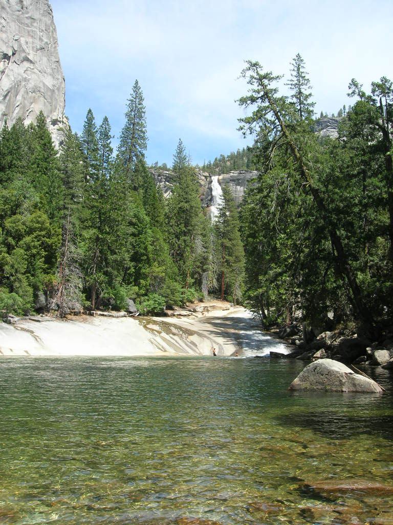
Start near Happy Isles (shuttle stop 16) in eastern Yosemite Valley. Follow the paved trail to the Vernal Fall Footbridge, then the Mist Trail up more than 600 granite steps to the top of Vernal Fall. NPS says the trail passes Emerald Pool and Silver Apron shortly beyond Vernal Fall. Swimming here is illegal and dangerous. Return the same way, or use the John Muir Trail.
Partial guide: viewpoint from a travel company guide, not confirmed by NPS
California
Roadside viewpoint; no hike
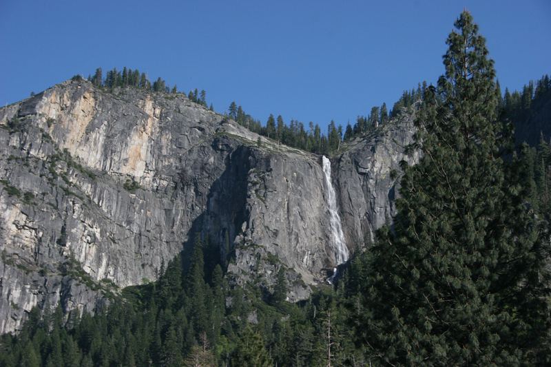
Under Canvas, a travel company guide, says to go to Tunnel View on Wawona Road and look above and slightly to the right of the Wawona Tunnel to see Silver Strand Falls on the cliff. It is a distant view only. The NPS pages reviewed do not name a viewpoint for this fall.
Named trail does not provide a waterfall view
California
No verified waterfall-view walk
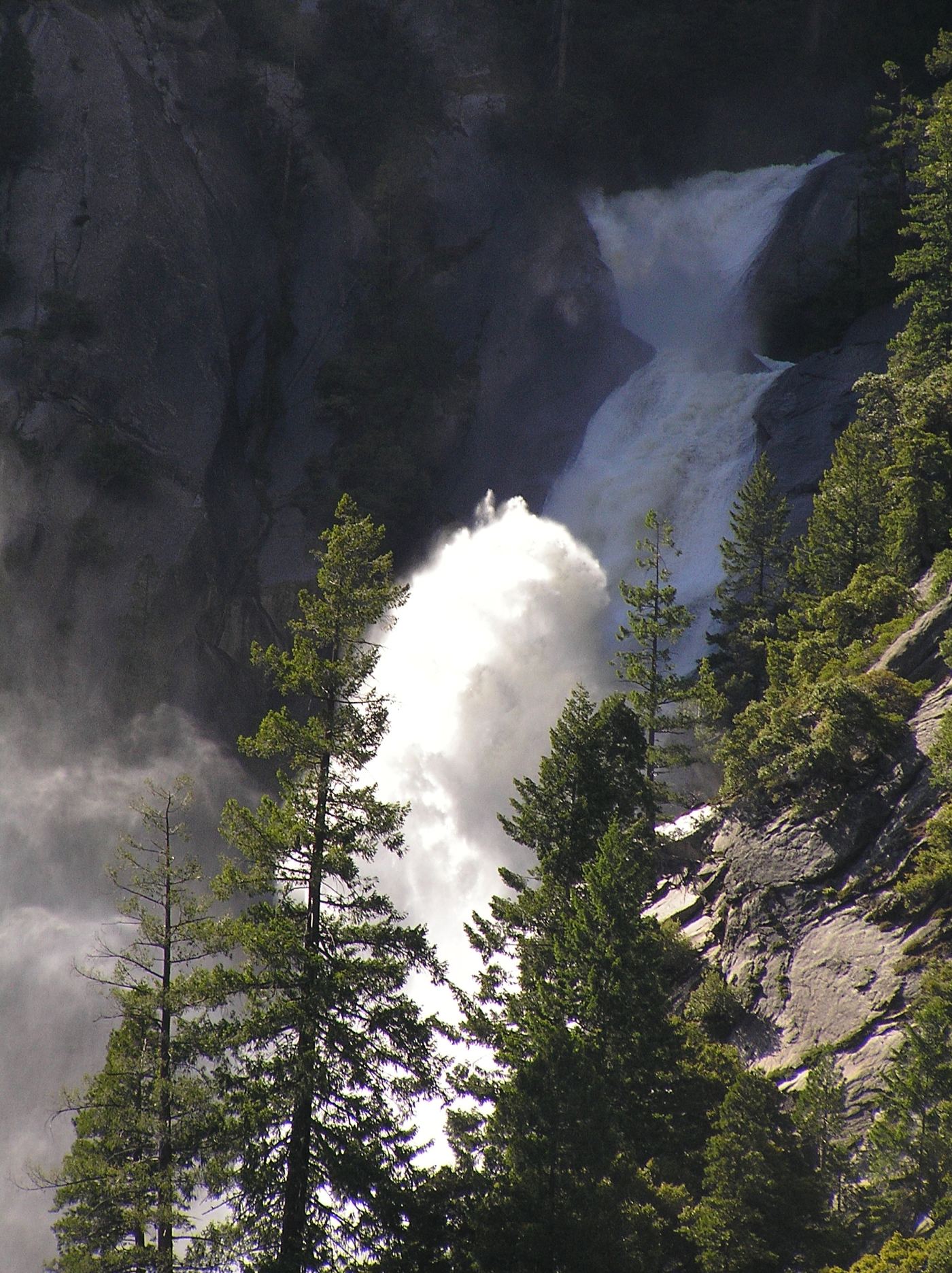
NPS says Snow Creek Falls is not visible from Snow Creek Trail. County tourism mentions only a small glimpse near the Mirror Lake/Snow Creek approach but does not identify an exact viewing point. These sources do not establish a dependable waterfall-viewing walk; do not recommend the strenuous Snow Creek climb as a falls route.
Official park waterfall route and fee documented
California
0.45 miles return (lower Canyon Trail) or 0.8 miles return (upper Canyon Trail)
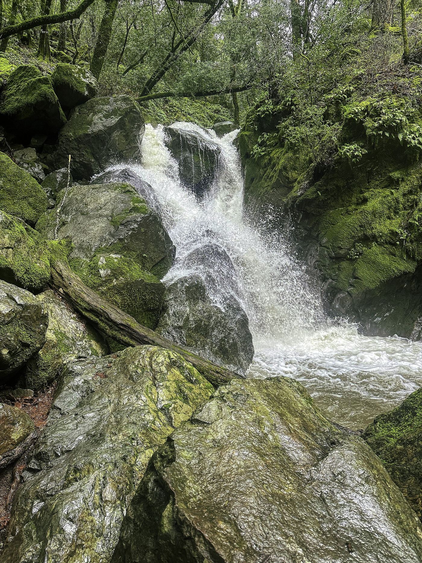
The park waterfall map gives two short routes. Lower Canyon: about 1/4 mile past the green gate at the park entrance, use the gravel pullouts marked Waterfall Parking. Upper Canyon: park at the upper Canyon lot, 300 yards before the entry kiosk, take the steep Canyon Trail with about 100 stairs, and turn left before the bridge on the small trail to the falls. Return the same way.
California
Viewpoint walk; distance not measured
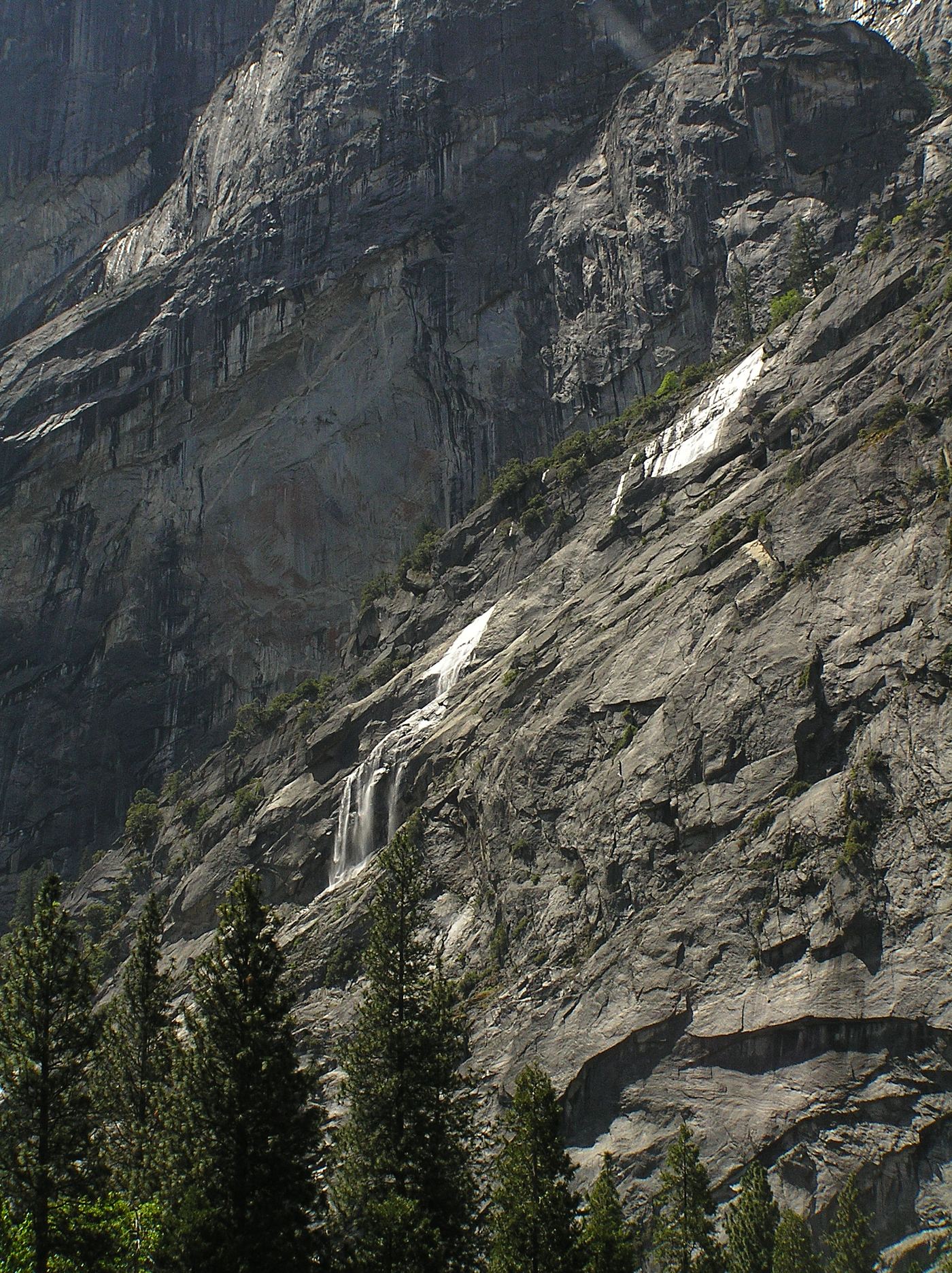
Use the Stoneman Meadow boardwalk across the road from Curry Village day-use parking for a distant view. This is a viewing route, not access to the cliff base.
Official trail, hours and admission documented
California
1.8 miles return
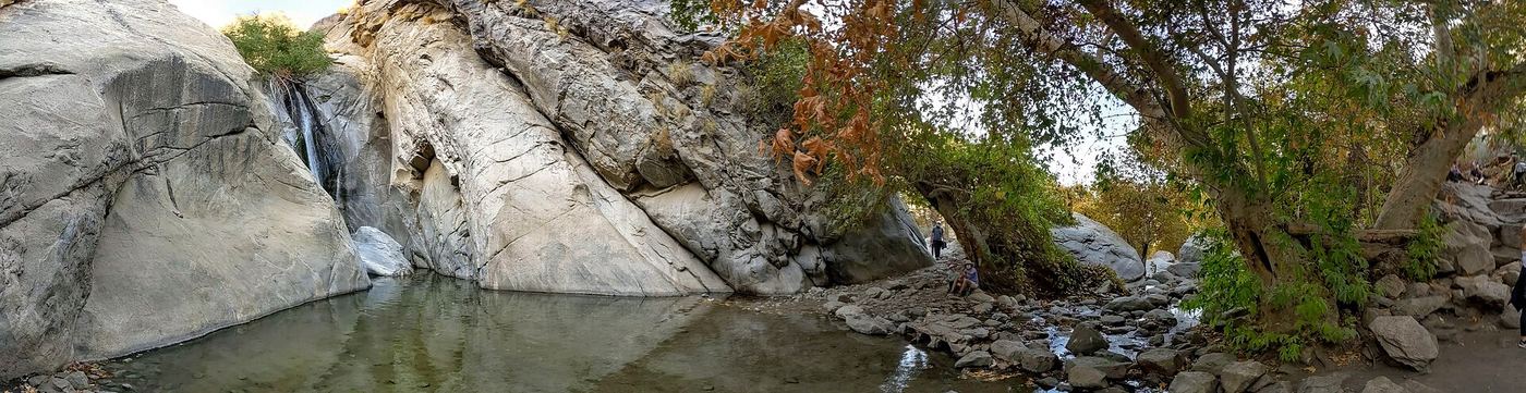
Buy a day-hike ticket at the Tahquitz Canyon Visitor Center. The trail leads from the visitor center up the canyon to the 60-foot seasonal Tahquitz Falls and back. Ranger-led hikes leave from the visitor center and are included with paid admission.
Official trail documented; check road alerts
California
About 1.5 miles return
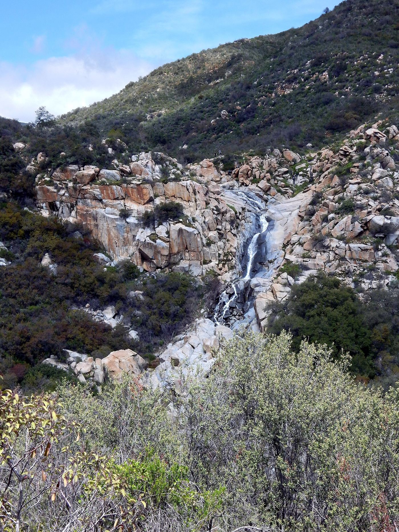
From the trailhead kiosk, follow Tenaja Falls Trail 5W04 past the self-registration station, go straight at the junction with San Mateo Canyon Trail, and cross San Mateo Creek on a concrete ford. The trail climbs a sage hillside with views of the falls across the canyon and ends beside the top of the falls. Return the same way.
Published trail route documented; state park day-use fee applies
California
About 0.8 miles each way; 1.6 miles round trip
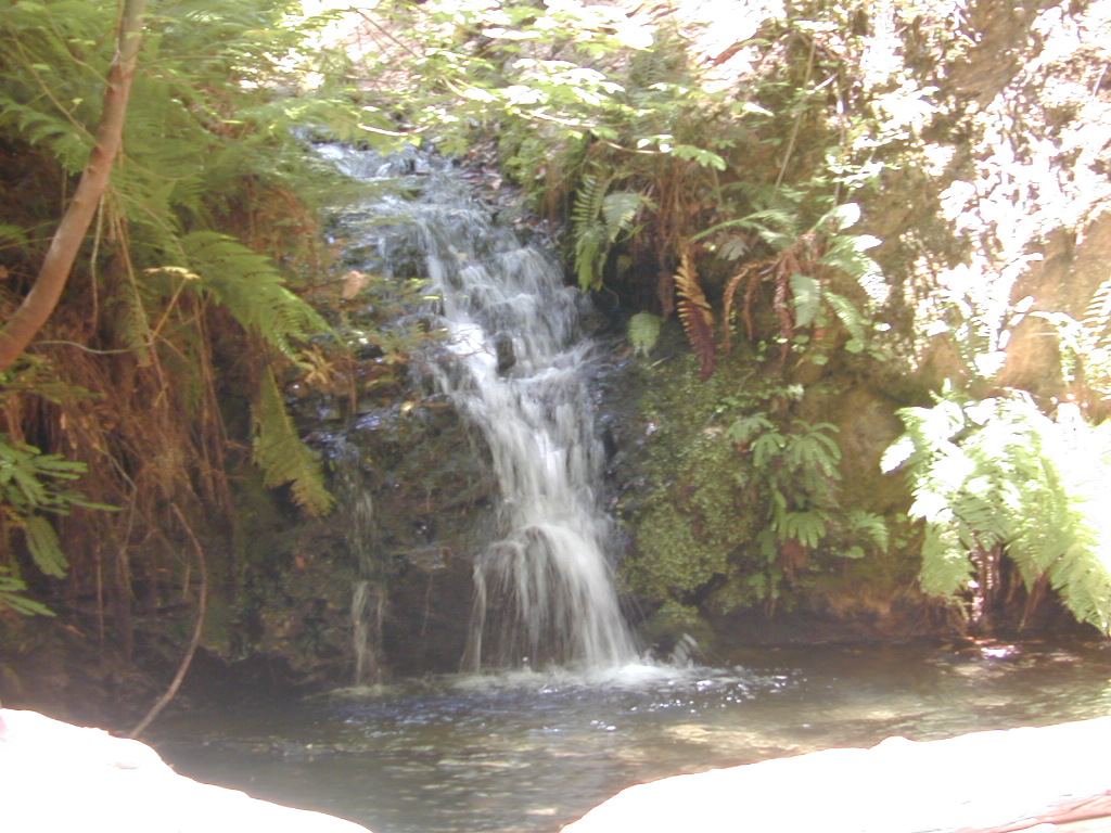
Tip Toe Falls is a 6-foot fall on Fall Creek. From the visitor center, take the Iverson Trail, which starts on the north side of the nature center and connects with the Sequoia Nature Trail. At the mouth of Fall Creek, follow the narrow side trail upstream to the falls at the end of a small V-shaped canyon. Return the same way.
California
3.4 miles return
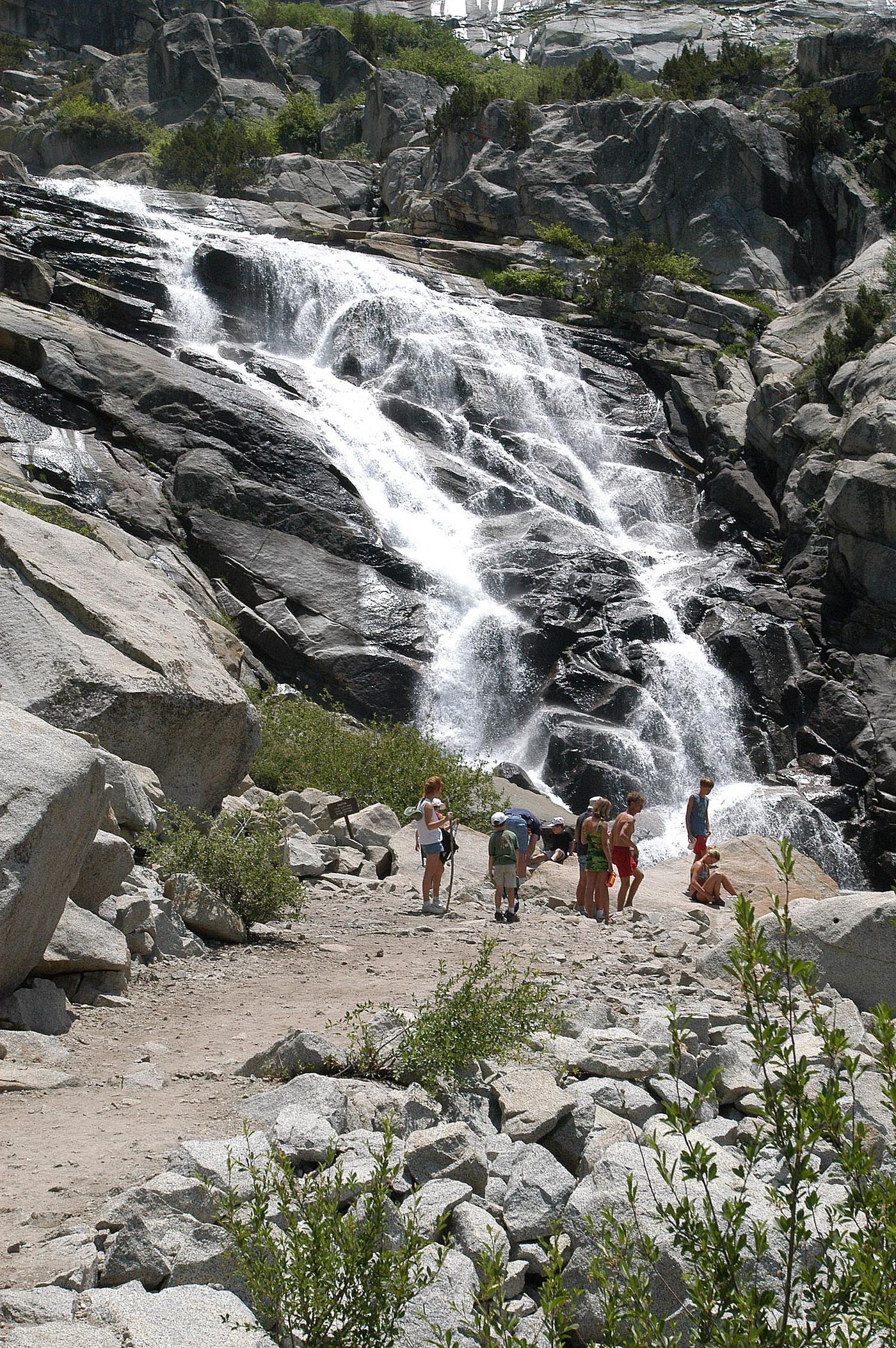
Follow the Marble Fork valley from Lodgepole to the waterfall.
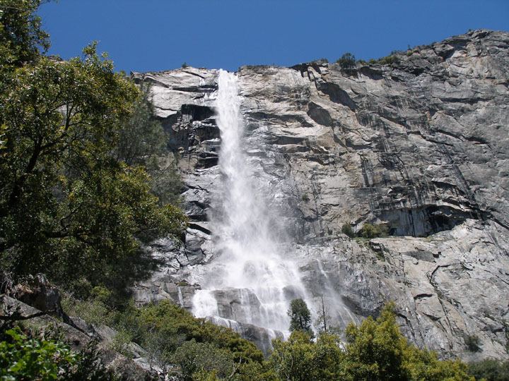
Partial guide: shoreline viewing route verified; exact viewpoint and parking approach unknown.
California
Distance to Tueeulala viewing point unknown
The Hetch Hetchy shoreline trail offers views of Tueeulala Falls.
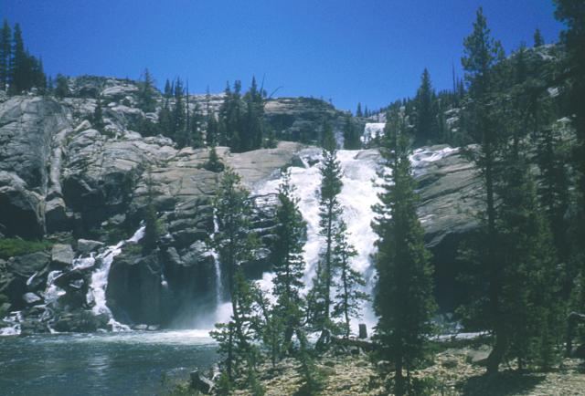
Official trail distance and road season documented; seasonal road
California
About 8 miles return
From the Glen Aulin and Soda Springs Trailhead on Tioga Road, follow the trail along the Tuolumne River through meadows and forest toward Glen Aulin. Tuolumne Fall and White Cascade are four miles from the trailhead. Return the same way, which is mostly uphill with 800 feet of gain.
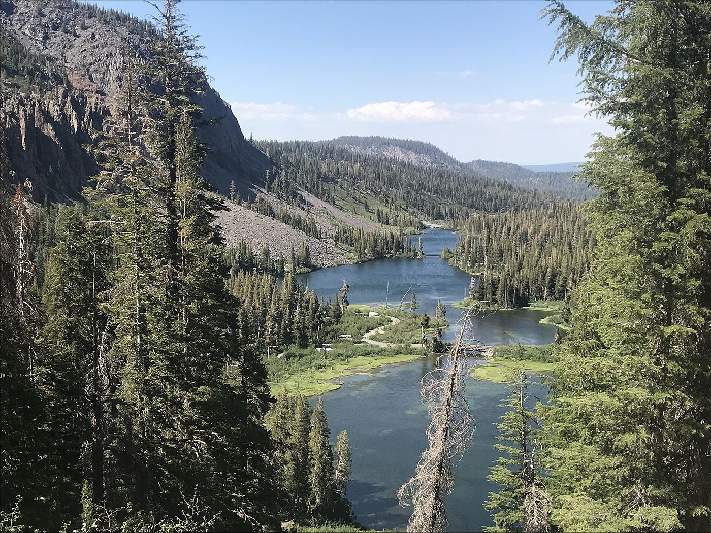
Researched walking route
California
Parking-area viewpoint
This is a viewpoint above Twin Lakes Falls, looking north over Twin Lakes; it is not a verified route to the waterfall base.
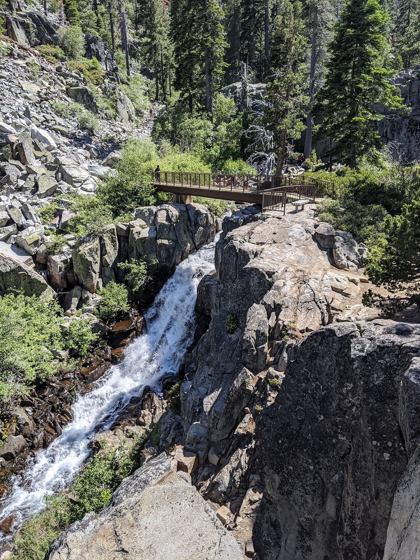
Official trailhead; seasonal parking typically closes mid-October
California
Short; under 1 mile one way
Start at the Eagle Falls Picnic Area and Trailhead on Highway 89 across from Emerald Bay. Follow the Eagle Lake trail uphill on rocky steps. The Upper Eagle Falls area along Eagle Creek is one of the first highlights. Do not confuse this with Lower Eagle Falls, reached from the Emerald Bay side. Return the same way or continue to Eagle Lake.
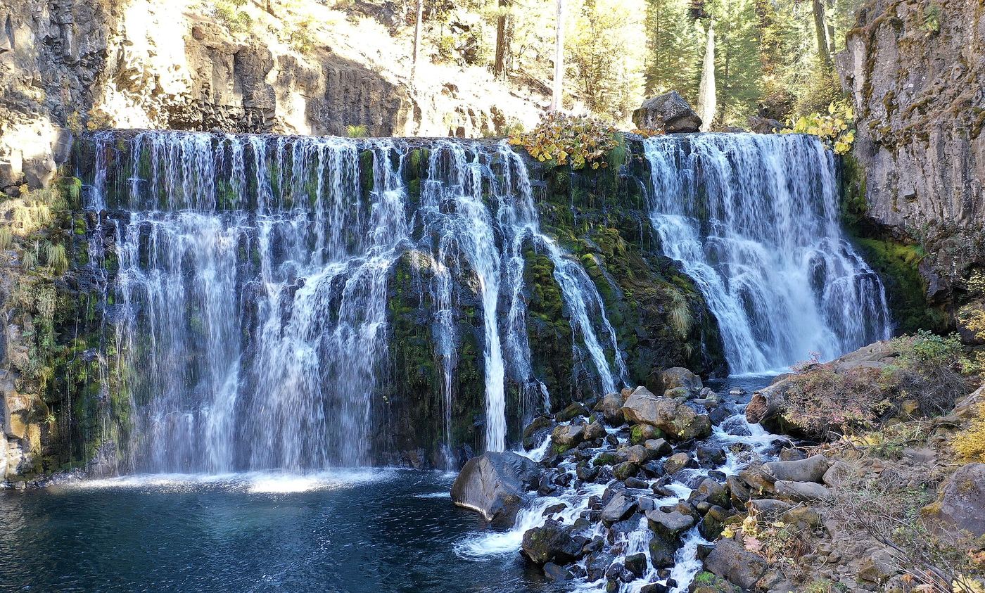
Vehicle access closed October 5, 2026–May 1, 2027; winter walking approach unverified.
California
Distance unknown
Upper Falls is the upper waterfall of the McCloud River group. Driving access is currently closed by a dated Forest Service order.
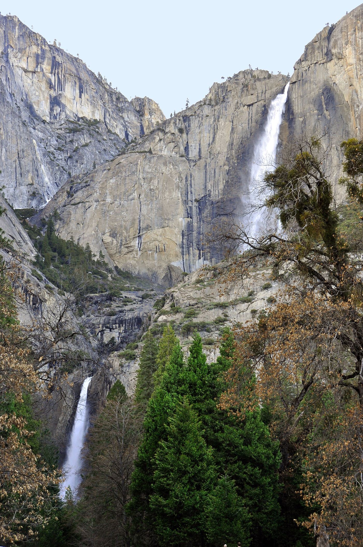
Source-reviewed route and parking
California
7.2 miles round trip to the top
Start near Camp 4 and climb the maintained switchbacks past Columbia Rock to the upper falls. The full route gains 2,700 feet. Do not confuse the two-mile Columbia Rock return hike with a waterfall viewpoint: NPS says the falls view is another half mile beyond that rock.
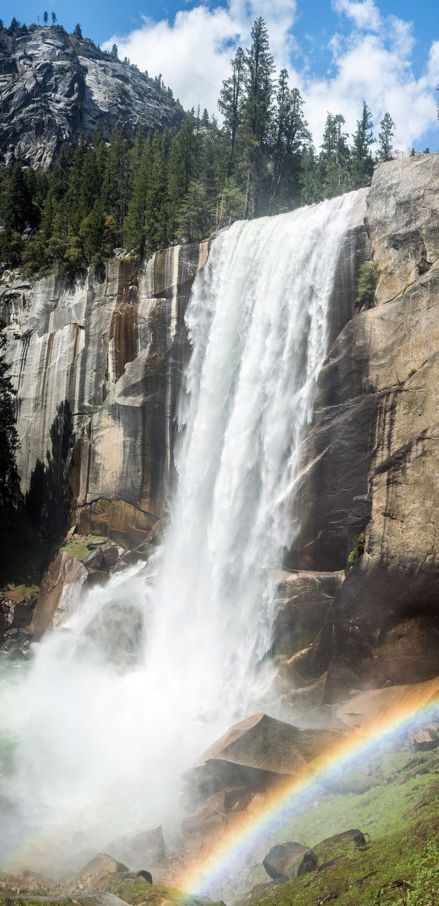
California
1.6 miles round trip to the footbridge; 2.4 miles to the top via Mist Trail
The footbridge offers a view of Vernal Fall after 0.8 mile uphill from Happy Isles. The summit route continues up steep granite steps, subject to repair and winter closures.
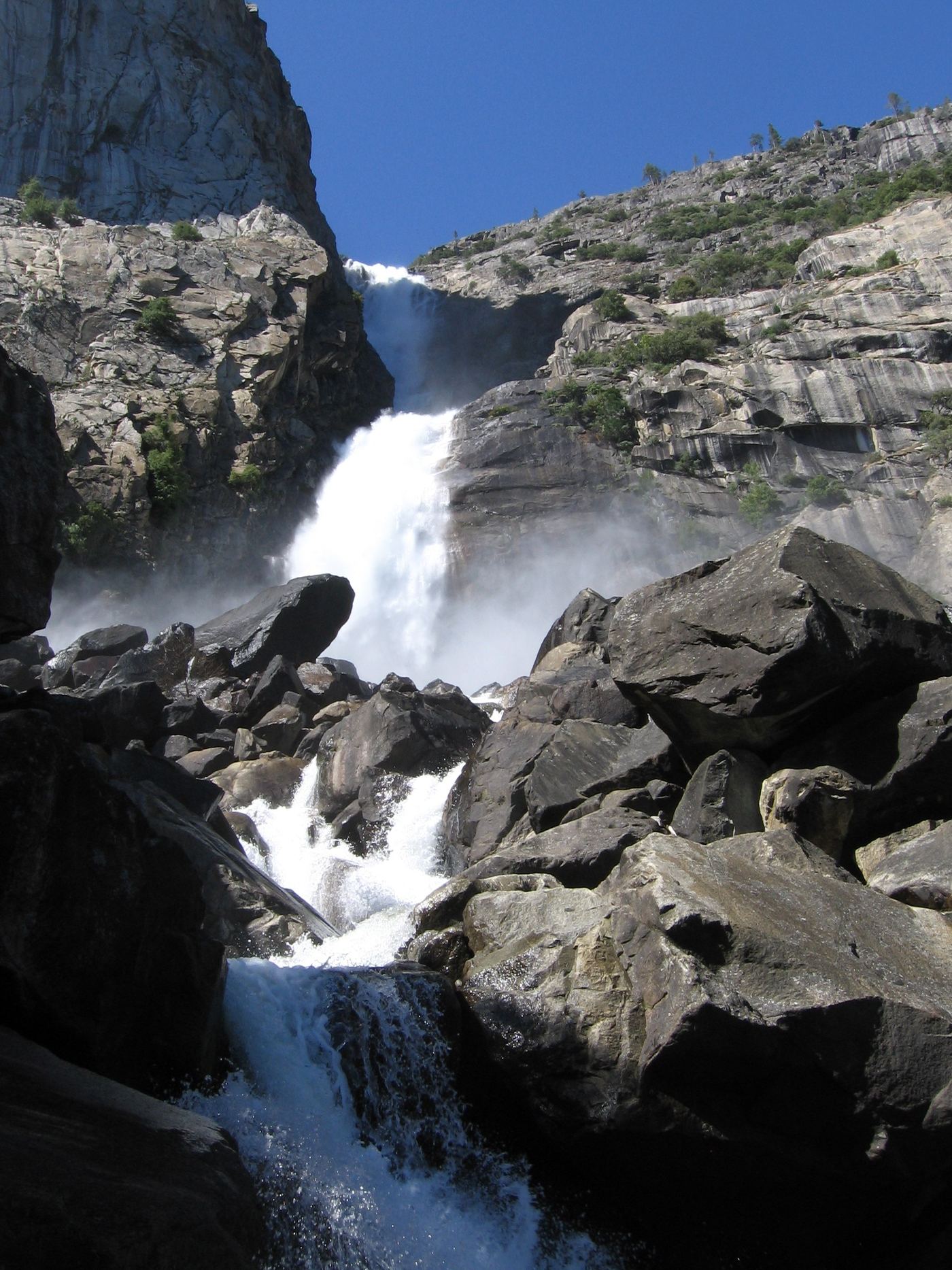
Researched walking route
California
5 miles return
Reservoir-shore hike from the dam to Wapama Falls. Expect repeated uphill and downhill sections.
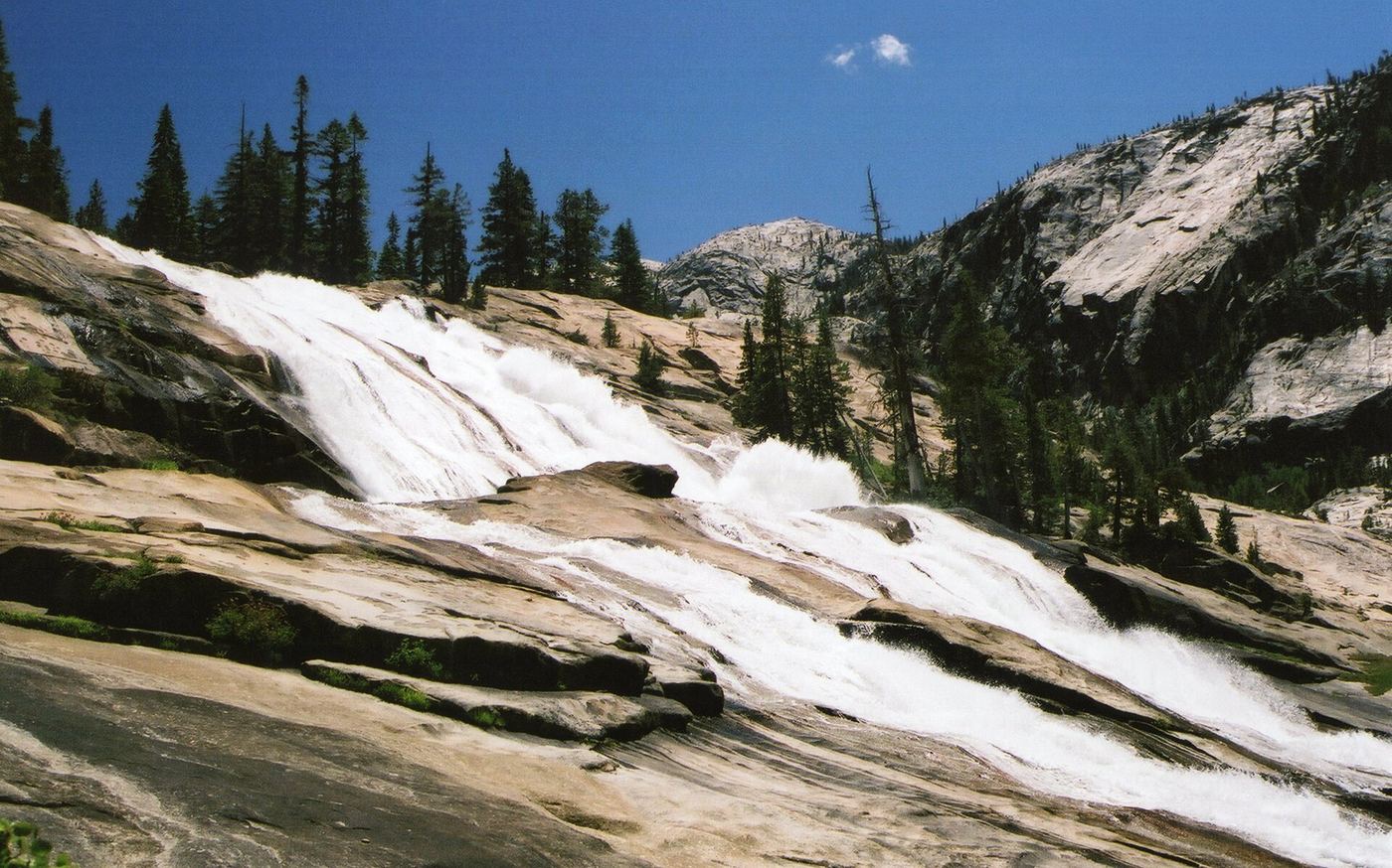
Official long route; Tioga Road seasonal access
California
About 19 miles return
Start from the Lembert Dome parking area in Tuolumne Meadows. Follow the Tuolumne River 5.5 miles down to Glen Aulin, then about 4 miles farther into the Grand Canyon of the Tuolumne to Waterwheel Falls. Return the same way, climbing back up. This is a very long day hike or an overnight trip.
Final scramble is an informal route
California
Roughly 1.5 to 2 miles one way on the Abrigo Valley Trail, plus an unmeasured scramble
Abrigo Falls is a seasonal waterfall in Briones Regional Park. A 2026 visitor followed the wide Abrigo Valley Trail past two campgrounds, then left the trail on a use-trail into the creek drainage for a view.
Location map; no photo available.
Partial: parking at the trailheads is not described by NPS
California
12 miles round trip from the Alder Creek Trailhead; 7.4 miles round trip from the Mosquito Creek Trailhead (NPS)
NPS lists the Alder Creek hike in Wawona as a very challenging uphill route through open pine forest to an infrequently visited 100 foot cascade. Start at the Alder Creek Trailhead on Chilnualna Falls Road for the full 12 mile round trip, or begin at the Mosquito Creek Trailhead on Wawona Road for the shorter 7.4 mile round trip.
Location map; no photo available.
Post-fire access status unconfirmed
California
About 0.7 mile of road each way, then a short use-trail
A local hiking guide describes mosaic-colored granite waterslides near where Alder Creek meets Dry Meadow Creek. The route follows a closed forest road open to non-motorized use, then a short use-trail drops to the creek.
Location map; no photo available.
Researched route and starting area
California
Waterfall-specific distance unknown.
The official Willow Creek page names Angel Falls and Devils Slide as the trail’s waterfall destinations.
Location map; no photo available.
Closed by Forest Order through June 7, 2027
California
No public walking approach while the closure order is in effect
The San Bernardino National Forest closed the Deep Creek area, including the Splinters Cabin trailhead and picnic area used to reach Aztec Falls, to protect public safety. The order runs from July 2, 2025 through June 7, 2027.
Location map; no photo available.
Researched walking route
California
About 1.2 miles return
A small seasonal waterfall in a short canyon in Sierra Madre. The trail is popular with local walkers.
Location map; no photo available.
Parking and approach documented; one-way distance from parking not measured
California
Spur of 175 feet from the trail junction; total from parking not measured in the sources
From the day-use lot, follow brown Waterfall Loop Nature Trail signs along Swanson Creek, passing the Black Rock Falls spur and the picnic table at Myrtle Flats. At the three-way junction, Upper Falls is left, Basin Falls is right, and the Contour Trail is straight ahead. Take the Basin Falls Trail west for 175 feet. The falls are partly hidden behind a boulder.
Location map; no photo available.
Upper falls area closed; overlook route only
California
Page lists 0.29 mile without stating one-way or round-trip. Full walk time unknown.
Walk downstream, cross the wash, then follow the trail uphill to the overlook. Do not continue into the closed upper-falls area.
Location map; no photo available.
Parking and waterfall approach details unconfirmed
California
Walking distance not confirmed
The Forest Service identifies Big Falls Trail as a wooded-canyon hike to two waterfall settings in San Luis Obispo County.
Location map; no photo available.
California
3.5-mile loop that passes Black Rock Falls, Basin Falls and Upper Falls
Black Rock Falls is one of three waterfalls on a loop in Uvas Canyon County Park, managed by Santa Clara County Parks. Start at the day-use area, take the Waterfall Loop Trail and Contour Trail, then return on the Alec Canyon Trail.
Location map; no photo available.
Partial: 2017 firsthand account; current OC Parks access rules not confirmed
California
About 7 miles return
A tall waterfall deep in Black Star Canyon in Orange County. It flows only after substantial rain.
Location map; no photo available.
Approach or parking partly unconfirmed
California
Measured current approach unconfirmed
USFS describes crossing a river-rock field and then climbing toward the lower waterfall, with poison oak on the approach. Its April 2024 project report proposed a paved day-use parking lot and creek-access path, but that construction announcement alone does not verify the completed lot or a signed waterfall route.
Location map; no photo available.
Partial guide: parking rules at the highway pullout are not confirmed by an official source
California
Roadside viewpoint; a few steps from the pullout
World of Waterfalls describes Bridal Veil Falls as a drive-up roadside waterfall of about 80 feet on Highway 50 between Pollock Pines and South Lake Tahoe. The eastbound side, toward South Lake Tahoe, has the wide pullout directly in front of the falls.
Location map; no photo available.
Published hiking route and parking documented; stream crossings
California
Approximately 7.4 miles return
From the dirt parking area beside the Jet Propulsion Laboratory, take the Gabrielino Trail up the Arroyo Seco. Pass Gould Mesa Campground at about 2 miles, stay on the Gabrielino Trail, go straight through the Paul Little Picnic Area, and reach the waterfall at the dam about 0.25 mile later. Return the same way.
Location map; no photo available.
Partial guide: path crosses an easement onto ranch land; parking not confirmed
California
About 1.3 miles return
The January 2023 article starts the walk near the Marin Country Club at the end of Fairway Drive on a fire road. Ford the stream, follow the path into the gulch, then cross onto an easement to the H Ranch property. The path ends at the falls. Return the same way. Only the first, lowest fall is covered. A visitor who returned in 2016 found a fence and an end of public trail sign at the lower falls, so do not continue upstream.
Location map; no photo available.
Long established trail route; very long day or overnight
California
About 17.8 miles return (source figure for a day hike)
Bunnell Cascade is on the Merced River above Little Yosemite Valley, on the Merced Lake Trail. Walk from Curry Village to Happy Isles, climb past Vernal Fall and Nevada Fall, continue through Little Yosemite Valley, and follow the Merced Lake Trail upriver to the cascade below Bunnell Point. This is a very long day hike or an overnight trip.
Location map; no photo available.
Published hiking route and trailhead documented; faint use trail to main drop
California
About 5 miles total
From the Dog trailhead, climb the Dog Trail for 0.5 mile to the Pacific Crest Trail. Turn west on the PCT and follow it about 1.75 miles, past Popcorn Spring, to the Burstarse Creek crossing. A ten-foot cascade is just above the crossing. To see the main falls, follow a faint use trail up the east side of the creek. Return the same way.
Location map; no photo available.
Partial guide: exact distance to California Falls and trailhead parking not confirmed
California
Distance to California Falls not published; Glen Aulin to Waterwheel Falls is 7.5 miles return
California Falls is a series of cascades on the Tuolumne River below Glen Aulin. Most visitors backpack to Glen Aulin from Tuolumne Meadows, then cross the bridge at Glen Aulin Campground and follow the trail downstream. California Falls is the first named fall, before LeConte Falls and Waterwheel Falls.
Location map; no photo available.
Permission and waterfall itinerary unconfirmed
California
No unrestricted public walking itinerary verified
A firsthand account identifies the standard Canogas approach through Big Creek Reserve. UCSC currently requires approved research or educational access and advertises registered docent tours; those tours are not confirmed to visit Canogas Falls.
Location map; no photo available.
Partial guide: base route unmaintained; exact drop probable, not confirmed
California
About 8 miles return to the stream crossing near the falls
From the Canyon Creek trailhead, hike north on the east side of Canyon Creek. Keep left at the Bear Creek trail junction. Past McKay Camp at 2.5 miles, the trail switchbacks up; the top of the first switchbacks is the only point on the main trail with a clear view of the falls. At about 4 miles, just after a stream crossing, a rough, unmaintained route heads southwest to the base of the falls. Return the same way.
Location map; no photo available.
Researched walking route
California
About 2.8 miles return
The trail follows the South Fork of the Tuolumne River into Yosemite Wilderness.
Location map; no photo available.
Partial guide: trailhead parking and a single published distance are not confirmed
California
Long day hike: more than 4 and less than about 7.25 miles one way (derived range)
Cascade Fall is where the Merced River slides over granite between Sugar Loaf and Bunnell Point into a pool at the east end of Little Yosemite Valley. Climb to Little Yosemite Valley by the Mist Trail or the John Muir Trail, then follow the signed Merced Lake Trail upriver past the campground. This is not Bunnell Cascade, which is farther upriver beyond a footbridge.
Location map; no photo available.
Researched route and starting area
California
1 mile one way; 2 miles round trip.
A rocky walk from Bayview reaches Cascade Falls. Seasonal parking dates depend on weather.
Location map; no photo available.
Published trail log and parking documented; limited residential parking
California
About 1.4 miles return
Start at the open space gate at the end of Cascade Drive in Fairfax. Bear right onto High Water Trail, then turn right onto Cascade Fire Road. Continue past Middle Fire Road and cross the bridge. At the T junction, turn right onto Cascade Falls Trail, which ends at the falls. Return the same way.
Location map; no photo available.
California
About 5½–6 miles round trip
Descend to Cedar Creek Falls, then make the strenuous uphill return. This exposed route requires a visitor permit for the falls area.
Location map; no photo available.
Partial guide: remote backcountry viewpoint; trail distance and parking not confirmed
California
Multi-day backpacking trip; distance from a trailhead to the viewpoint not published
Chagoopa Falls drops down the west wall of Kern Canyon in the remote backcountry of Sequoia National Park. It is seen from the High Sierra Trail where it follows the Kern River. The High Sierra Trail can be entered from its west or east trailheads. Another route uses the Golden Trout Wilderness from Horseshoe Meadow and the Lower Kern Trail.
Location map; no photo available.
Established trail; rough access road
California
About 3.4 miles return (derived from 1.7 miles one way)
Park at the lot on the right just before the Ponderosa Way bridge over the North Fork American River. The trail starts beyond the parking area, follows the river downstream for about a mile, then turns up Codfish Creek to a waterfall of about 40 feet. Return the same way.
Location map; no photo available.
Partial guide: no marked route or single-falls distance; cross-country approach from one visitor account
California
Single-falls distance not established; part of a 7.7-mile cross-country loop in the source
A March 2018 visitor account describes leaving the main trail past Hollow Falls, crossing open fields to the gorge of Coon Hollow, and viewing Coon Falls from above. The writer found the falls nearly dry and said reaching the cave below would be quite difficult.
Location map; no photo available.
California
About 3.1 miles out and back
From Buckhorn’s day-use lot, follow Burkhart Trail downhill, then the PCT/Silver Moccasin junction toward the waterfall spur. The final descent requires scrambling.
Location map; no photo available.
National forest trail from a highway turnout
California
Under 1 mile return
Start from the paved turnout on the east side of Highway 41, 7.3 miles north of Oakhurst. Take the wide trail at the north end of the turnout and pass the gate. At the signed T-junction after a tenth of mile, turn right on Lewis Creek Trail downstream. Steps and switchbacks lead to the brink of the falls at a quarter mile. Continue down the steep steps, bear left at the split, and reach the wooden viewing platform near the base. Return the same way, uphill.
Location map; no photo available.
Published visitor route; unmarked path
California
About 2 miles return (source figure)
Park at the large turnouts on Sunrise Highway about 1.7 to 2 miles north of Interstate 8. Walk north past the guardrail to the power pole and follow the path down under the power lines. At the junction with the larger canyon turn left and walk upstream about a quarter mile to the pool and falls.
Location map; no photo available.
Partial guide: no marked route or single-falls distance; cross-country approach from one visitor account
California
Single-falls distance not established; part of a 7.7-mile cross-country loop in the source
A March 2018 visitor account describes crossing pasture west from the Hollow Falls area to a deep fissure holding Crevice Falls, about 100 feet high in total. The best view came from the north end of the crevice. The writer returned by a different route and forded Campbell Creek.
Location map; no photo available.
Official NPS accessible trail
California
About 0.8 mile return
From Highway 299 west of Whiskeytown Lake, turn onto Crystal Creek Road and drive about two miles, then turn left at the Crystal Creek Falls sign. The paved, flat path starts at the locked maintenance road gate and leads to an overlook of the falls. A short, steep earthen path continues down to the pool at the base.
Location map; no photo available.
Partial guide: trail length not published; base requires a river swim
California
Steep canyon trail; walking distance not published by the source
From Oroville take Highway 162 toward Berry Creek, turn onto Bald Rock Road, then the dirt road signed for the Dome Trail. Hike 31 switchbacks down to the river. The falls can be seen from the trail end. Reaching the main falls requires a swim across the river.
Location map; no photo available.
Published hiking route and street parking documented
California
Approximately 2.4 miles return
From the trailhead at the end of Madrone Avenue in Larkspur, follow the Dawn Falls Trail upstream beside Larkspur Creek through Baltimore Canyon Open Space Preserve, crossing footbridges. Near the end, at a large rock, the trail turns left and climbs a short, steep section to the falls. Return the same way.
Location map; no photo available.
Partial guide: trailhead location documented; parking space and rules not described
California
About 1.4 miles (source figure; not stated as one way or return)
Yosemite Mariposa County Tourism describes an easy, mostly flat walk to a swimming hole flanked by cliffs with a roughly 20-foot waterfall. The trailhead is on Greeley Hill Road east of Coulterville, just west of where the road crosses the North Fork of the Merced River. Leashed dogs are welcome.
Location map; no photo available.
Partial guide: the mapped dry fall is probably the one at the canyon end, not confirmed
California
About 1 mile return (NPS figure for the canyon route)
Walk up the rocky wash from the information sign to Natural Bridge. NPS says the canyon continues a short distance beyond the bridge and ends abruptly at a dry waterfall. The mapped dry fall is probably this one, but the canyon contains more than one dry fall. Return the same way.
Location map; no photo available.
Partial guide: which dry fall in the canyon this is has not been confirmed
California
Under 1.4 miles return (exact point not confirmed)
From the Natural Bridge parking area, walk up the rocky canyon wash. There is no official trail. Pass under Natural Bridge at about 0.3 mile and continue up the canyon, which ends at a dry waterfall chute about 0.4 mile past the bridge. The canyon has more than one dry fall. This mapped point lies before the canyon end, so which dry fall it marks is not confirmed. Return the same way.
Location map; no photo available.
Closed until further notice after the Eaton Fire; route documented
California
About 4.0 miles return (source figure)
The usual route starts at the Eaton Canyon Nature Center in Altadena. Follow the wide wash trail north for 1.4 miles to the Mt. Wilson Toll Road bridge, then continue up the canyon with creek crossings to the falls. Los Angeles County says the natural area is closed until further notice because of the Eaton Fire.
Location map; no photo available.
Published park trail loop documented; private lake road not for public use
California
About 5 miles for the full loop
Start at the far side of the RV parking area at General Grant Grove and head west on the North Grove Loop. Continue past Lion Meadow and the Dead Giant, then down forest tracks toward Sequoia Lake. Walk a short way east to the lower end of the Sunset Trail and climb it up Sequoia Creek to Ella Falls, which is seen from below. Continue up to a four-way junction, bear left past a marsh to the Swale Work Center road, and follow it back to the General Grant parking lot.
Location map; no photo available.
Official MRCA park route; upper falls closed to the public
California
About 4 miles return
From the Winding Way lot, walk the paved road uphill for about a mile, staying on the marked route. At the Edward Albert Escondido Canyon Trailhead sign at the top of a meadow, turn left and descend into the canyon. Cross Escondido Creek and bear left; the trail crosses the creek several times. About a mile in you reach the base of the lower falls, where public parkland ends. The upper falls are not open to the public. Return the same way.
Location map; no photo available.
Established preserve trail and lot; paid parking reported
California
About 3.6 miles total (source figure)
From the North Etiwanda Preserve lot at 4890 Etiwanda Ave, Rancho Cucamonga, go straight through the gate at the far end of the lot. Signs pointing other directions are for other trails. Follow the trail up through the foothills to the falls in a shady canyon. Return the same way.
Location map; no photo available.
Published hiking route and parking documented; steep final side trail
California
Approximately 2.0 miles return
From the parking clearing, walk up the old dirt road on the right along Ney Springs Creek. Pass the ruins of the Ney Springs Resort, then continue about 0.25 mile to Faery Falls. Return the same way.
Location map; no photo available.
Official trail ends at the falls
California
5.5 miles return (source figure)
Drive east on Howland Hill Road from Elk Valley Road for 3.5 miles to the Boy Scout Tree Trailhead in Jedediah Smith Redwoods State Park. Walk the Boy Scout Tree Trail through old-growth redwoods to its end at the base of Fern Falls. Return the same way.
Location map; no photo available.
Published long route from Dempierre Park; strenuous
California
About 7.8 to 9 miles return (sources differ)
Start at the secondary park entrance near Dempierre Little League Park, 55 Paso Hondo, Carmel Valley. Cross the river on the footbridge. Follow the Laureles Trail to the Vasquez Trail, climb to the Cougar Ridge Trail, then descend the marked path to the 20-foot falls. Return the same way. A shorter approach through Kahn Ranch is limited by permit.
Location map; no photo available.
Partial notes: parking identified; route to a First Falls viewpoint unverified.
California
Distance unknown
Official notes identify First Falls on Big Pine Creek and distinguish day-use parking from the separate overnight trail start.
Location map; no photo available.
Visitor-documented walk on old Foresta Road; small pull-off
California
About 1.7 miles return
From Big Oak Flat Road, follow Foresta Road about 2.5 miles to where the pavement ends at a sign reading Road Closed Ahead Bridge Out. Walk the old dirt road past cascades on Crane Creek and a switchback at about half a mile, then down to a concrete bridge with the 60-foot falls on the left. Return the same way.
Location map; no photo available.
Approach or parking partly unconfirmed
California
Published trail length: half mile
The Plumas County Visitors Bureau hiking handout describes a gentle paved trail to a fenced overlook on Old Gold Lake Road. This is not the nearby Round Lake trailhead.
Location map; no photo available.
Partial guide: probable match; parking and current road access not confirmed
California
About 6.3 miles each way on the West Fork road to Glen Campground, then about a quarter mile up the canyon
Angeles Adventures describes a 12-mile bike path and road along the West Fork of the San Gabriel River to Glen Campground and Cogswell Dam. At 6.3 miles they reached Glen Campground, left their bikes, and hiked about a quarter mile up the canyon to the main falls. The source calls this Glen Canyon Falls; the match to this listing is probable, not confirmed.
Location map; no photo available.
Short park trail; weekend parking reservation
California
About 0.1 mile to Granuja Falls; the full Waterfall Loop is 1.0 mile
From the parking area, walk up the park road toward the campground and cross the Swanson Creek bridge. Turn left onto the Waterfall Loop Nature Trail, climb the stairs and cross back over the creek on a bridge. Granuja Falls is just upstream of this bridge. Continue on the loop for more falls.
Location map; no photo available.
California
Approximately 1 mile round trip
Use the Gray Falls day-use picnic area and signed trail system to reach the Trinity River. This is river-access terrain, with steep sections and stairs.
Location map; no photo available.
Wilderness trail; strenuous
California
About 11.5 miles return to the meadow; 13.8 to 14.6 miles return to the lake
From Cecilville, take the paved road to China Gulch; it becomes gravel road 37N07, about six more miles to China Gulch Trailhead. The steep China Spring Trail climbs to Hunters Camp, then drops into Grizzly Creek canyon and follows the creek. About 5.7 miles in, the meadow below Grizzly Lake gives a view of the 600-foot falls from the lake. Reaching the lake needs a hard scramble. Return the same way. Usually done as an overnight trip.
Location map; no photo available.
Partial guide: older firsthand use-trail route; current conditions and land status unverified
California
About 7.9 to 8.5 miles return
From the Tucker Wildlife Sanctuary at the end of Modjeska Canyon Road, go uphill past the gate on Harding Truck Trail, then take the left fork that descends toward Modjeska Reservoir in less than half a mile. At the bottom, turn right and follow the use trail up Harding Canyon. The trail fades in and out; stay in the main canyon and avoid side canyons. A large pool lies about half a mile below the falls. Return the same way.
Location map; no photo available.
Published trail route and roadside trailhead documented; steep stairs
California
About 1.3 miles return
From the Cataract Trailhead on Bolinas-Fairfax Road just south of Alpine Dam, follow the Cataract Trail along Alpine Lake and then up beside Cataract Creek, climbing stone and wooden stairs past several cascades. At about 0.6 mile, cross a long wooden bridge, round a left bend and climb the east bank to an outcrop above a small falls and pool, sometimes known as Helen Markt Falls. The Helen Markt Trail junction is a few steps beyond. Return the same way.
Location map; no photo available.
Reported trail closure; reopening unverified
California
Historic 2.6-mile return; closure reported
Hikespeak marks Hermit Falls closed. The current USFS Chantry Flat page confirms the picnic area is open but does not establish that the Hermit Falls branch has reopened.
Location map; no photo available.
Partial guide: trail route and distance to the falls decks not confirmed
California
Trail distance to the observation decks not published in the reviewed source
Hidden Falls Regional Park near Auburn has about 30 miles of trails and two observation decks for viewing the falls. The main entrance is at 7587 Mears Place. The trail route from parking to the decks was not confirmed in the reviewed source; use the park map at the trailhead.
Location map; no photo available.
County park trail
California
Under 1 mile return
Start near the restrooms by the picnic area at Santiago Oaks Regional Park. Walk down the hill and turn right on the Historic Dam Trail, an easy hiking-only trail to the 1892 dam on Santiago Creek, where a small waterfall pours over the dam. Return the same way or loop back on Santiago Creek Trail.
Location map; no photo available.
Short reserve trail; Lands Pass required
California
About 1 mile return (source figure)
Park in the reserve lot at 2488 Cherokee Road. Start near the single large tree by the lot and follow the trail about half a mile through cattle pasture. It leads to the top of Hollow Falls. A small path along the cliff edge on the left zigzags down to the base.
Location map; no photo available.
Researched route and starting area
California
Distance to Horsetail Falls unknown.
The official McGee Pass route explicitly passes toward Horsetail Falls in lower McGee Canyon.
Location map; no photo available.
Route and parking verified; conflicting fee/permit notices require confirmation.
California
1.5 miles one way to the base; approximately 3 miles return
Horsetail Falls near Twin Bridges is reached from the Pyramid Creek trail system.
Location map; no photo available.
Partial guide: viewing route documented; exact match to this listing probable
California
About 3 miles return to the falls views (source figure)
Park in the Rush Creek Trail lot on Highway 158 across from Silver Lake Campground. Follow the Rush Creek Trail behind the campground, over a small bridge, and up the slope above Silver Lake. The trail climbs beside Horsetail Falls but does not reach its base or top. The match between this listing and the waterfall in the guide is probable, not confirmed.
Location map; no photo available.
Partial guide: exact roadside pull-out and road number not confirmed
California
Roadside viewpoint; Discover Siskiyou lists 0.4 miles out and back from an unnamed start
Discover Siskiyou says you can reach Horsetail Falls by car and that smaller Ponytail Falls is half a mile north. A November 2025 visitor walking down the road from Cook and Green Pass passed Ponytail Falls first and then the taller Horsetail Falls beside the road along East Fork Seiad Creek.
Location map; no photo available.
Short signed trail from a highway turnout
California
About 0.25 to 0.6 mile return
The turnout is on Highway 89, 2.9 miles from the junction of Highways 89 and 70. Follow the short signed trail down to Indian Creek; signs along the way describe Maidu history. The 15-foot falls drop into the creek among boulders and sandy beaches. Return the same way.
Location map; no photo available.
Published state park trail route; seasonal flow
California
About 2.7 miles return (derived)
Start at the Islay Creek Trail trailhead on Pecho Valley Road in Montana de Oro State Park, just before Spooner’s Cove. Walk inland up the wide dirt road along the north side of the canyon. Pass the connector to Reservoir Flats Trail at 1.1 miles and continue on the main road. About a quarter mile later, the short waterfall is visible in the creek below. Return the same way.
Location map; no photo available.
Partial guide: exact drop, viewing spot and parking are not confirmed
California
Drive-up; walking distance from the road not published
A visitor review from April 2019 gives forest road directions from Tuolumne: 1N04 to 2N22, 2N22 to its end at 2N08Y, then right for about 1 mile with the falls on the right. A 2012 photographer reached Jawbone Falls by paved forest roads off Cherry Lake Road and describes it as a 52-foot horsetail fall. There are other falls on Jawbone Creek; the sources do not give coordinates, so the exact drop is not confirmed.
Location map; no photo available.
Partial guide: roadside view only; pullout not identified
California
Roadside view; no walk distance stated
The regional tourism listing places Kickapoo Falls on Coffee Creek just outside the community of Coffee and says the falls are visible from Coffee Creek Road. It also says it is reachable by trail, without route details. Only the roadside view is covered here. The exact viewing pullout is not identified.
Location map; no photo available.
Published PCT route with use-trail finish; Adventure Pass required
California
About 4.7 miles return (source figure)
From the unmarked parking area on Old Highway 80 just before Boulder Oaks Campground, cross the road and follow the Pacific Crest Trail signs north, under I-8 and up the hillside. A little beyond 2.1 miles, just past a PCT marker where the trail bends sharply right, take the narrow use trail on the left toward Kitchen Creek gorge. The falls are viewed from the gorge edge and below. Return the same way.
Location map; no photo available.
Partial guide: exact fall location in the gorge not confirmed
California
About 5 miles return to the gorge
From the parking lot in Laguna Mountain Campground, follow the fire road for about half a mile, then the marked Trail L1 along Laguna Creek into the gorge in Miller Canyon, about 2.5 miles. Near the end of the trail, a series of small waterfalls and pools lies below in the gorge; reaching them needs rock scrambling. The article does not give coordinates for the falls, so the match to this mapped point is probable, not confirmed. Return the same way.
Location map; no photo available.
Official trail route; long day hike, exact distance not published
California
Between 11 and 19 miles return (exact figure not given)
Start at the Lembert Dome parking area at the east end of Tuolumne Meadows. Follow the trail along the Tuolumne River 5.5 miles down to Glen Aulin, then continue down the Grand Canyon of the Tuolumne past California Falls to LeConte Falls, a long falls over steep granite. Return the same way, climbing back up.
Location map; no photo available.
Partial guide: trail from the kiosk to the falls not described
California
About 1 mile return to the trailhead, plus the preserve trail
Park at the baseball fields at Cold Springs Road and Howell Mountain Road in Angwin. Use the crosswalk and walk south along Howell Mountain Road past Bishop Place. Just before the road begins to climb, take the paved path beside the last house; this is the old Falls Road. Follow it to the Linda Falls trailhead kiosk, then continue on the preserve trail to the falls. Return the same way.
Location map; no photo available.
Signed water district trail
California
About 3.9 miles return
From the Azalea Hill lot, cross Bolinas-Fairfax Road to Pine Mountain Road and climb 1.1 miles. Turn left on Oat Hill Road for 0.3 mile, then right on the signed Carson Falls Trail. At the frog information panel, bear left to the upper overlook; the middle and lower overlooks are just below. Return the same way, which is uphill.
Location map; no photo available.
Partial guide: distance to the falls unknown; trail in poor condition
California
Distance from the trailhead to the falls not published
The Little Falls Trail in the Santa Lucia Wilderness starts off Upper Lopez Canyon Road and follows Little Falls Creek toward the Big Falls Trail junction. Recent visitor surveys report the trail in poor condition and hard to follow, with erosion and fallen trees. The trailhead road has creek crossings.
Location map; no photo available.
Published visitor route on Old Coulterville Road; park entrance fee
California
Approximately 5.6 miles return
Park at the small area where Old Coulterville Road forks off the Foresta road near Big Meadow. Walk the right fork, which is Old Coulterville Road, past the south side of Big Meadow and over the Crane Creek bridge, which is closed to cars. Turn right at the first three forks; a sign at the third fork points to Little Nellie Falls. Stay on the main left road at the fourth fork. The falls are beside the road just outside the park boundary in Stanislaus National Forest. Return the same way.
Location map; no photo available.
Partial guide: no coordinates published for this fall, and reserve boundaries along the route are not confirmed
California
About 2.2 miles one way (derived); full described loop 6.5 miles
Little Phantom Falls is in Coal Canyon next to Phantom Falls. Z and B Johnson walked west from the parking lot to Hollow Falls, north across the Ravine Fall creek to the Phantom Falls viewpoint, then followed the rim northeast, crossed the creek above Little Phantom Falls and went west to view it from the north. There is a shallow cave behind the fall; do not enter it.
Location map; no photo available.
Official preserve map and staging areas documented; distance estimated from map
California
About 5 to 6 miles return (estimate from trail map mile markers)
From the east staging area at Black Mountain and Mercy Roads, follow the main canyon trail west along Penasquitos Creek, passing the creek crossings shown on the preserve map. The waterfall is marked on the map beside the creek between the 2 and 3 mile markers, near Carson's and Sycamore crossings. From the west staging area on Sorrento Valley Boulevard, follow the main trail east about the same distance. Return the same way.
Location map; no photo available.
Approach or parking partly unconfirmed
California
0.5 mile to the bridge
The geotourism page describes a half-mile walk from Highway 49 to Loves Falls bridge. A firsthand Sierra Rec visit reports bridge closure and a PCT detour. Current bridge status was not resolved; do not plan to cross it or use informal riverbank shortcuts.
Location map; no photo available.
Official NPS trailhead; short steep walk
California
About 0.5 mile return
Start at Chilnualna Falls Trailhead near the end of Chilnualna Falls Road in Wawona. Walk the short but steep trail beside Chilnualna Creek for about a quarter mile to the first cascade. Return the same way. The upper falls are a separate, much longer hike.
Location map; no photo available.
Published creekside route; crosses private land, respect posted signs
California
About 4.6 miles return (source figure)
Start at the small Red Bridge pullout on Highway 32. Follow the trail downstream beside Deer Creek. After roughly a mile it enters the Deer Creek Preserve and becomes more enclosed, then reaches a rock chute and fish ladder where Lower Deer Creek Falls drops nearly 20 feet. Return the same way.
Location map; no photo available.
Researched route and starting area
California
Viewpoint distance unknown.
The picnic area overlooks Lower Falls on the McCloud River.
Location map; no photo available.
Short county park trail with steps; seasonal flow
California
About 0.25 mile return (source figure)
From the main parking lot in Uvas Canyon County Park, walk through the adjacent picnic area toward Swanson Creek. Take the signposted trail that descends to the creek, turn right downstream, follow a narrow ledge and descend steps to creek level. Cross Swanson Creek to stand in front of the 25 to 30 foot Lower Falls, also called Uvas Falls.
Location map; no photo available.
Published monument trail with half-mile extension to Lower Falls; shuttle or entry fee
California
About 6 miles return (derived)
From the trailhead beside the Devils Postpile ranger station, follow the trail past Devils Postpile to Rainbow Falls and its two overlooks. Continue on the trail half a mile downstream along the Middle Fork San Joaquin River to Lower Falls. Return the same way. Lower Falls is below Rainbow Falls; do not confuse the two.
Location map; no photo available.
Published reserve route and official parking documented; faint paths; Lands Pass required
California
Part of a 7-mile loop
From the reserve lot on Cherokee Road, follow the Phantom Falls route west and northeast across the plateau; keep right at the signed junction at 0.8 mile toward Ravine and Phantom Falls. Pass Ravine Falls and continue to Phantom View. Return to the signed junction and head toward Little Ravine Falls. At about 2.4 miles, pass a fence cut with a trail sign, then descend into The Ravine to a spot just above Lower Ravine Falls, a 40-foot drop. Either return the same way or continue the loop past Beatson Falls.
Location map; no photo available.
National forest trail; Adventure Pass parking
California
About 4 to 4.5 miles return
From Switzer Picnic Site, cross the bridge and walk down the canyon on the old road and Gabrielino Trail beside the Arroyo Seco. The trail climbs along the canyon wall. At about 1.5 miles, stay left where Gabrielino Trail goes up to the right, and follow Bear Canyon Trail down to the creek. Turn upstream; the lower falls, about 25 feet with a pool, is less than a quarter mile further. The upper falls above it is reached only by a slippery scramble. Return the same way; the walk back is uphill.
Location map; no photo available.
Published visitor route; scrambling required
California
About 5.5 miles return (derived from 2.75 miles one way)
Park in the large dirt lot on Montezuma Valley Road 0.8 mile south of Palm Canyon Road. Hike west across the alluvial fan into Hellhole Canyon, past palm oases. The trail fades and rock scrambling is needed. A small 10-foot fall just below can be mistaken for Maidenhair Falls; continue a few hundred feet further up.
Location map; no photo available.
Published visitor route; many creek crossings; $8 parking fee
California
Approximately 7.6 to 9 miles return from George's Picnic Area
Pay at the entrance station on Aptos Creek Road and park at George's Picnic Area. Walk Aptos Creek Road to the Porter Family Picnic Area and take the Loma Prieta Grade Trail past Hoffman's Historic Site to the Bridge Creek Historic Site. From the sign there, go upstream along Bridge Creek to Maple Falls, a waterfall of about 30 feet down a mossy rock face. Return by the Bridge Creek Trail to Loma Prieta Grade and back to the start.
Location map; no photo available.
Official trail; NPS distance figures differ
California
About 6.2 to 7.8 miles return (NPS pages give 3.1 and 3.9 miles one way)
Park near site 14 at Potwisha Campground in Sequoia National Park, follow the dirt road across the concrete ditch, and start up the steep bank on the right. The trail climbs through chaparral to a waterfall cascade. Return the same way.
Location map; no photo available.
Botanic garden waterfall; paid admission and set hours
California
Short garden walk; distance from the entrance not published
Meyberg Waterfall is a garden waterfall in the Los Angeles County Arboretum and Botanic Garden in Arcadia. It sits below the Aquatic Garden on Tallac Knoll. Enter at 301 North Baldwin Avenue and follow the garden paths; a garden map is available from the Arboretum.
Location map; no photo available.
Wilderness trail with use trail to the falls
California
Long day hike or backpack; distance to this fall not stated
From Junction City on Highway 299, drive about 12 miles up Canyon Creek Road to the trailhead. Hike north on Canyon Creek Trail on the east side of the canyon, past the Lower Canyon Creek Falls viewpoint. The middle falls is not visible from the main trail: where the creek turns away from the trail, a well-established use trail on the east bank leads to its base. Return the same way.
Location map; no photo available.
Published trail route and roadside trailhead documented; steep stairs
California
About 1.6 miles return plus a short spur
From the Cataract Trailhead on Bolinas-Fairfax Road just south of Alpine Dam, follow the Cataract Trail along Alpine Lake and up beside Cataract Creek. Cross the long wooden bridge at about 0.6 mile, pass the Helen Markt Trail junction and keep right on the Cataract Trail. At about 0.8 mile, climb wooden stairs and drop to a spur trail that leads to Midway Falls, about 25 feet high. Return the same way.
Location map; no photo available.
Distant view from a national forest trail
California
Short walk from the trailhead; exact distance not stated
From Highway 79 east of Julian, take Pine Hills Road about 1.6 miles, then Eagle Peak Road about 9.4 miles to the Saddleback Trailhead. Go through the gate and downhill on the old road. Mildred Falls is visible across the canyon on the right, in the distance. There is no trail to the falls themselves; the falls are on land that was private, and a public viewing area is only planned. The Cedar Creek Falls permit area begins further down the trail, at the valley floor junction.
Location map; no photo available.
Campground winterized; bring water
California
About 0.25 mile to the falls
Walk from Mill Creek Falls Campground at the western edge of South Warner Wilderness to the Modoc County waterfall.
Location map; no photo available.
Published trail route; mandatory shuttle fee; seasonal road
California
Approximately 3 miles return
Start at the trailhead by the Devils Postpile ranger station. After a quarter mile, turn right toward Minaret Falls, then bear right over the bridge across the Middle Fork San Joaquin River. Turn right at the junction 0.35 miles from the start and again onto the Pacific Crest Trail at 0.85 miles. After about 0.6 miles on the Pacific Crest Trail you reach the log crossing of Minaret Creek. Walk back about 200 feet to a path that leads to the base of the falls. Return the same way, turning left at each junction.
Location map; no photo available.
Official NPS trail
California
8 miles return
Start at the Roads End Permit Station at the end of Highway 180 in Cedar Grove. Walk the Woods Creek and Bubbs Creek trail; at the first junction, about two miles out, take the trail on the left. The first miles are flat and open; the last mile climbs 600 feet through woods to the base of the falls. Return the same way.
Location map; no photo available.
Short trail from a named trailhead; limited parking
California
About 1 mile return (derived from about 0.5 mile one way)
Drive Fallen Leaf Road around Fallen Leaf Lake toward Lily Lake and the Glen Alpine Trailhead. The waterfall near the road is Lower Glen Alpine Falls. Walk about half a mile up the trail from the trailhead to Modjeska Falls, a seasonal three-step cascade on Glen Alpine Creek.
Location map; no photo available.
Partial: climbing-area approach; exact falls and parking rules not confirmed
California
About 15 minutes to the canyon base; distance not published
Mountain Project describes Monkeyface Falls as a slot canyon climbing area with waterfalls, off Highway 38 above Mentone. Just before the sharp bend in Highway 38, continue straight onto Valley of the Falls Drive. About a quarter mile on, park at a dirt pull-off on the right. Walk back a little, cross the road to the approach trail, and cross a talus field to the base of the canyon. The source does not say which waterfall in the canyon carries the Monkeyface Falls name. Deeper parts of the canyon need class 4 scrambling.
Location map; no photo available.
Partial guide: land ownership and parking permission at the bridge are not confirmed
California
Short, very steep path; length not published
The fall has two tiers at the Montgomery Falls Road bridge. The larger lower tier is just downstream of the bridge in a narrow slot canyon; the smaller upper tier is just upstream. Z and B Johnson parked on the west side of the bridge and walked down a very steep path to the base of the lower tier.
Location map; no photo available.
Partial guide: residential street parking rules not confirmed; final section off-trail
California
About 1.3 miles return (source figure)
The trailhead is on the right side of Rubio Vista Drive between houses numbered 1351 and 1342 (listed address 1351 Pleasantridge Drive, Altadena). Hike north up the west side of Rubio Canyon. Where the trail fades, a tenth of a mile of off-trail rock hopping up the creek reaches a double waterfall: Ribbon Rock Falls below and Moss Grotto Falls on top. Return the same way.
Location map; no photo available.
Partial guide: distance to the rim vista not stated; distant view only
California
Not stated; at least 1.5 miles return to the first rim vista
From the Clear Creek trailhead, climb the switchbacks through red fir forest. Where the trail swings close to the edge of Mud Creek Canyon and the forest opens, walk a short way to the rim. Mud Creek Falls is visible about a mile across the canyon. The trail continues up the rim with more views. Reaching the base of the falls requires a difficult cross-country descent that this guide does not cover. Return the same way.
Location map; no photo available.
Regional park trail; strenuous all-day hike
California
About 12.3 miles return
Start at the lot near the Lichen Bark picnic area at the south edge of Del Valle Regional Park. Follow the Ohlone Wilderness Trail south. The 2024 article turns at the OT35 marker, then left about a quarter mile later; the last half mile crosses the creek and follows a narrow, rocky path up a gorge to the falls. Return the same way. Carry a current district map.
Location map; no photo available.
Unsigned use-trail route from a documented highway pullout
California
Less than 1 mile total (source figure)
Look for a dirt pullout south of Nobe Young Creek on Western Divide Highway, about 6.8 miles south of Ponderosa Lodge or 6.7 miles north of the M50 junction. Walk down the barricaded logging road to the north. After about 500 feet veer right onto another old logging road. About a third of a mile from the start, a use-trail cuts off left and descends to the creek; staying left leads to the alcove behind the falls.
Location map; no photo available.
Partial guide: viewing spot for the falls not described
California
About 7 miles return to Panther Creek
From the Middle Fork trailhead, follow the Middle Fork Trail up the Middle Fork Kaweah River canyon to Panther Creek, about 3.5 miles. The park lists Panther Creek Falls as a highlight of the trail. Return the same way.
Location map; no photo available.
Local guide route from a documented pullout; private land downstream
California
About 0.5 to 1+ mile (source figure)
From Johnsondale, take Lloyd Meadow Road (22S82) about 11 miles, past Lower Peppermint Campground. Park at the dirt area about a quarter mile after the road crosses Peppermint Creek. Old trails and double tracks on the north side of the creek merge in a meadow at an old sign. Follow the old road to the boulder knoll above the falls. Steep use-trails continue down to a viewing area below the 150-foot falls.
Location map; no photo available.
Partial guide: final half mile is an unofficial path; permission not confirmed
California
Roughly 2 to 2.5 miles return (estimate)
From the Grizzly Flat trailhead, hike 0.4 mile down Peters Creek Trail and turn right on the Bay Area Ridge Trail. Shortly after the trail crosses the private paved Portola Heights Road, turn left on an unofficial path that follows the creek about a half mile downstream to the top of the falls. Return the same way. This last half mile is not an official preserve trail.
Location map; no photo available.
Trail closed until further notice after the Timber Fire; route documented
California
0.75 mile trail; 1.5-mile loop with the Valley View Trail (source figures)
The Pfeiffer Falls Trail follows a redwood gorge to a 60-foot waterfall, crossing a 70-foot pedestrian bridge. It can be combined with the Valley View Trail as a loop. In October 2026 State Parks said the Pfeiffer Falls Trail remains closed until further notice after the Timber Fire. Entry to closed areas is prohibited.
Location map; no photo available.
Partial guide: overlook view from an older whitewater article; current overlook status not confirmed
California
Roadside viewpoint; walking distance from parking not measured
Drive Highway 299 east toward Fall River Mills and stop at the scenic overlook on the grade above the Pit River canyon. American Whitewater says Pit River Falls is visible from this overlook. This is a distant view, not a trail to the falls.
Location map; no photo available.
Published trail route and trailhead; dirt road; unsigned pullout
California
Approximately 0.6 mile return
From Highway 299 between Round Mountain and Montgomery Creek, turn onto Fenders Ferry Road (Forest Road 34N17, also called Road 27). It is paved for 3.5 miles, then dirt. Cross the Pit River bridge at 8.8 miles and watch for the unsigned trailhead pullout on the left 0.6 mile past the bridge. The trail descends through oak, fir and pine with three switchbacks to the pool at the base of the 70-foot falls. Return uphill the same way.
Location map; no photo available.
National forest trail
California
About 7.5 miles return
Drive to the Early Intake facility off Cherry Lake Road, cross the bridge and turn right to the parking area. Follow Preston Falls Trail east along the north bank of the Tuolumne River, climbing gently through the canyon, to Preston Falls at the end of the route. Return the same way.
Location map; no photo available.
Partial guide: probable match; pass rules and current trail start not confirmed
California
About 8 miles return (source figure)
Start at the Santa Paula Canyon Trail parking on Highway 150 near Thomas Aquinas College. Hikespeak lists a newer trail along the creek and older directions around the campus and through ranch land. Follow Santa Paula Canyon Trail up the canyon to Big Cone Camp, then descend to the Punchbowl falls and pools. The Forest Service map also labels a separate rock feature The Punch Bowl east of the river, so the match to this listing is probable, not confirmed.
Location map; no photo available.
Distant viewpoint only; the cascade is not reached on foot
California
Short paved walk from Glacier Point parking; distance not stated
Pywiack Cascade is in Tenaya Canyon, which is not safely reached on foot. World of Waterfalls describes spotting it from the Glacier Point lookout, looking deep into Tenaya Canyon beyond Half Dome, and needing a telephoto lens to photograph it. A similar but more distant view is from the summit of Sentinel Dome.
Location map; no photo available.
Partial guide: unmarked cross-country route, and reserve boundaries along the route are not confirmed
California
About 3.5 miles one way (derived); described loop 7.25 miles
Ranch Falls is also called Long Falls. Z and B Johnson walked west from the parking lot to Hollow Falls, through Beatson Hollow to Beatson Falls, south to the mountain edge at Crevice Falls, then southwest along the rim to a viewpoint northwest of the falls, below a tree near the edge. That viewpoint does not show the whole 157-foot fall.
Location map; no photo available.
Source-reviewed route and parking
California
2 miles round trip
Follow Rancheria Falls Trail from the developed trailhead to the waterfall viewpoint. CalWild corroborates the Huntington Lake route and parking, distinct from the waterfall of the same name in Yosemite.
Location map; no photo available.
Published reserve route and official parking documented; Lands Pass required
California
About 2.6 miles return
From the reserve lot on Cherokee Road, head west across the plateau toward the fence corner that separates the reserve from private land, staying on the reserve side. Cross Campbell Creek and its branches. At 0.8 mile, a trail sign points right toward Ravine and Phantom Falls. Follow it north to the rim of The Ravine, then down a narrow path and switchback to the crossing of Ravine Creek. Turn right to the base of 76-foot Ravine Falls. Return the same way.
Location map; no photo available.
Partial guide: unmarked cross-country route, and reserve boundaries along the route are not confirmed
California
About 1.1 miles one way to the viewpoint; about 2.2 miles return (doubled)
From the parking lot, follow the north side of the wash west for about 0.3 miles, then turn northwest. At about 1 mile, cross the creek at a small stand of trees to its north side, then head west downhill to the brink of Ravine Fall. Ravine Twin Falls is visible to the east-northeast. This is a separate fall from Ravine Fall, also called Fern Falls.
Location map; no photo available.
Published trail route and roadside trailhead documented; bridge condition near start unconfirmed
California
About 1.5 miles each way; 3 miles round trip
From the Lewis Creek trailhead turnout on Highway 41, walk down the wide trail to the signed junction about 100 yards in. Turn left (upstream) on the Lewis Creek Trail, which follows an old lumber flume route. Just before Red Rock Falls there is a short climb; a side path drops about 200 feet to the top of the falls, with a further side path to the base. Return the same way.
Location map; no photo available.
Trailhead and short path to the falls documented
California
About 75 yards one way
Start at the kiosk at the west end of the parking area at the end of Reservoir Canyon Road. Walk through grass into the woods beside Reservoir Creek. The falls is about 75 yards from the kiosk. A path climbs the left side of the falls to a bridge and the Summit Trail if you want a longer walk.
Location map; no photo available.
Partial guide: last section is an unofficial use trail to a precarious viewpoint
California
About 5 to 6 miles return
Hike Mt. Shasta describes taking the Pacific Crest Trail uphill from the Soda Creek exit to the Root Creek Trail junction, then following the Root Creek Trail to the creek. The official trail ends there. A faint unofficial use trail continues upstream on the south side of the creek to a small, exposed viewpoint of the falls below Castle Dome. Return the same way.
Location map; no photo available.
Researched route and starting area
California
0.5 mile to the falls; approximately 1 mile out and back.
Follow the campground trail to the base of Rose Valley Falls.
Location map; no photo available.
Partial guide: trail ends above the falls; full view needs scrambling
California
About 8 miles return from Horse Meadow
The Forest Service trail starts at the entrance to Horse Meadow Campground, crosses the meadow and follows the south side of Salmon Creek about four miles to the falls. Kern River Sierra says the trail ends where the terrain steepens near the top of the falls. Seeing the main drops requires scrambling beyond the trail end.
Location map; no photo available.
Short published route from Highway 1 trailhead
California
About 0.25 miles return
Park at the Salmon Creek Trailhead on the large horseshoe bend of Highway 1, about 3 miles north of Ragged Point Inn. Start at the mileage sign on the east side of the highway and walk up the trail on the south side of the creek. At the trail split, stay left for the waterfall; the right branch climbs toward camps. Near the end, leave the trail through boulders toward the creek to reach the base. Return the same way.
Location map; no photo available.
Partial guide: route description predates the Palisades Fire; post-fire trail condition unverified
California
About 1.25 miles each way; 2.5 miles round trip
From the gate on Vereda de la Montura, follow the single-track trail up Santa Ynez Canyon with several creek crossings. At a junction 0.6 miles in, the trail to the left goes to Trippet Ranch; go right, cross the creek and turn left upstream. The canyon narrows; rock-hop and climb a few hundred feet to the falls. Return the same way. Hikespeak describes the route before the January 2025 Palisades Fire.
Location map; no photo available.
California
Distance not stated
Follow the North Fork trail toward the wilderness boundary near Second Falls.
Location map; no photo available.
Official reopened trail and parking rules documented
California
4.3-mile loop
California State Parks reopened the Sequoia Trail to Sempervirens Falls on May 22, 2026, for the first time since the 2020 CZU Lightning Complex Fire. Start at the main day-use area and follow the Sequoia Trail to the falls. Return on the Skyline-to-the-Sea Trail to make the 4.3-mile loop.
Location map; no photo available.
Partial guide: viewing locations verified; parking and exact approach unknown.
California
Viewpoint distances unknown
Sentinel Fall descends in several cascades west of Sentinel Rock on the south side of Yosemite Valley.
Location map; no photo available.
Trail organization route and parking documented; creek scramble
California
About 3.4 miles return
Santa Barbara County Trails Council says the route starts on Tunnel Road and follows the Jesusita Trail for about 200 yards before dropping into the west fork of Mission Canyon. The easiest way to the falls follows the creek bed, with rock hopping, creek crossings and light scrambling. Return the same way.
Location map; no photo available.
Published trail route and trailhead documented; tribal entry fee applies, amount unconfirmed
California
About 2.1 miles each way; 4.1 miles round trip
Enter the Indian Canyons from South Palm Canyon Drive, keep right where the road splits, and park at the Andreas Canyon Trailhead lot. Walk south into the oasis and take the Murray Canyon Trail from its southeast side. Go straight at the 0.4-mile junction, descend into the palm grove near 0.8 miles, stay right at both Coffman Trail junctions, and reach the falls at 2.1 miles. Return the same way.
Location map; no photo available.
Partial guide: exact roadside turnout not confirmed; creek crossing
California
About 4.5 miles return
Drive north past Kernville on Mountain Highway 99 to a roadside turnout that serves as the trailhead. The trail is easy to follow to Dry Meadow Creek. After a creek crossing, the path goes up and down beside the creek with some scrambling to a viewpoint over the teacups. Return the same way.
Location map; no photo available.
Partial guide: roadside view only; safe walking space beside the road not verified
California
Roadside viewpoint; walking distance not measured
World of Waterfalls describes South Creek Falls as a roadside waterfall on Road 99 (Sierra Way) in Sequoia National Forest, with a split drop of about 120 feet. They parked at a very small car park and walked along the road for better views. They did not go down to the base because the ravine is steep with loose rock.
Location map; no photo available.
Published trail route and roadside parking documented; fee at the pullout unconfirmed
California
About 1.1 to 1.3 miles each way; not exactly measured
From the pullout, walk up paved Devil's Gulch Road about 100 yards and take the Devil's Gulch Trail on the right beside the creek. At the junction by a large hollow redwood, cross the bridge and turn left on Bill's Trail at the T-junction. Climb for a little less than a mile, cross a bridge and take the short pedestrian-only spur to the falls. Return the same way.
Location map; no photo available.
Partial guide: parking at the gate and walking permission confirmed only by visitor accounts
California
About 6 miles return
From North Fork, drive Road 225 above Redinger Lake, cross the bridge over the lake and continue a couple of miles past the old Chawanakee School to a gate across the road. Walk around the gate and follow the one-lane paved road, gaining elevation slowly, until the falls comes into view. The road crosses the creek on a bridge at the falls. Return the same way.
Location map; no photo available.
Route and parking researched
California
3.4 miles out and back
Descend from Chantry Flat on the Gabrielino Trail, passing the Hermit Falls turn. Turn right after the first creek crossing. Stay beside the creek where uphill routes branch away, then take the right fork across the creek and continue upstream to the falls. Retrace the route.
Location map; no photo available.
Official brochure route and trailhead parking documented
California
About 1.8 miles each way per the NPS brochure
From the east end of the main parking area, walk the dirt road past the Satwiwa Native American Indian Culture Center to Big Sycamore Canyon Road. Turn left (east) on Danielson Road (Old Cabin Trail), keep right at the fork and descend into the canyon. Continue past the Upper Sycamore Canyon Trail junction to a hairpin bend, then take the narrow waterfall spur about 100 yards to the falls. Return the same way.
Location map; no photo available.
Visitor route and parking documented; unmaintained final section
California
About 2.2 to 2.5 miles return
Hikespeak describes walking a quarter mile up the East Fork Trail, crossing to the West Fork Trail, then after about 0.6 mile turning right at an unmarked junction onto the unmaintained but well-worn Middle Fork path. Follow the creek, crossing it a few times, then climb over boulders to the base of the falls. Return the same way.
Location map; no photo available.
Roadside viewing area documented; park entrance fee applies
California
Roadside viewpoint; walking distance not measured
The Cascades fall a bit over 600 feet at the confluence of Tamarack and Cascade Creeks, two miles west of Yosemite Valley, from near Big Oak Flat Road to just above Highway 140. Yosemite Hikes notes a viewing area at the bottom of the falls along Highway 140 and says the view is better if you park and get out of the car.
Location map; no photo available.
California
4½ miles round trip
Follow the rebuilt trail into Boulder Creek canyon to a viewpoint above the lowest pool. The return is a strenuous uphill hike.
Location map; no photo available.
Trailhead parking identified; gate and alternative parking need confirmation
California
2 miles one-way; 4 miles return calculated
From the trailhead lot, follow the dirt road past cabins for about two-thirds of a mile, then the narrower trail beside Golden Creek. After creek crossings, the trail climbs the canyon side toward views of the falls. Return on the same route.
Location map; no photo available.
Official trail, parking and fees documented
California
About 1 mile return
Park at Elk Meadow Day Use Area, just off Davison Road three miles north of Orick. Follow the Trillium Falls Trail through old-growth redwoods, with some switchbacks and 200 feet of gain, to the falls. Stay on the hikers' bridge at the falls. Return the same way or continue on the 2.7-mile loop.
Location map; no photo available.
Park trail route and parking documented; fee not verified
California
About 5.2 miles for the full loop
Start at the kiosk in the day-use parking lot. Modern Hiker follows the Waterfall Loop Nature Trail and Contour Trail, then turns right onto the Alec Canyon Trail and right again onto the Triple Falls Trail to an overlook of the three-tier falls. Retrace to the junction and descend the Alec Canyon Trail to the park road. The Alec Canyon Trail also starts near the Black Oak Group Picnic Area for a direct approach.
Location map; no photo available.
Partial guide: falls are above the trail and screened by foliage; a clear viewpoint is not confirmed
California
About 0.3 miles each way to the Spring Creek bridge
Tufa Falls is a small fall on Spring Creek above the White Chief trail in Mineral King. From the south end of the Eagle/Mosquito parking area, walk south on the White Chief trail and cross a small wood bridge over Spring Creek at 0.3 miles. HikingWalking says the falls are hidden by thick foliage above the trail, so a clear view from the trail is not assured.
Location map; no photo available.
Published trail route and mileages documented; long wilderness hike
California
About 13.4 miles return
From Highway 299 at Junction City, drive 13.2 miles up paved Canyon Creek Road to the trailhead. Hike the Canyon Creek Trail past The Sinks, Lower Canyon Creek Falls and Middle Canyon Creek Falls to the fork at 6.1 miles. Go right toward Canyon Creek Lakes and climb about 0.6 mile to Upper Canyon Creek Falls. Return the same way, or camp near the fork and make it a backpacking trip.
Location map; no photo available.
Published trail route documented; current county fee and reservation rule unconfirmed
California
About 1.2 to 1.5 miles each way; exact figure not stated
Start at the park kiosk in the northwest corner of the day-use lot and follow the brown Waterfall Loop Nature Trail signs along Swanson Creek on Waterfall Loop Road. Pass the Black Rock Falls spur at 1.1 miles and Myrtle Flats, then the Knobcone Point Trail on the right. At the three-way junction turn left to Upper Falls, a fan fall about 15 feet high. Return the same way or continue the loop.
Location map; no photo available.
Published trail route to a distant trail view documented; Adventure Pass required
California
About 2.5 miles each way to the viewpoint
From the trailhead sign on the east side of Highway 1 just south of the bridge, climb the Salmon Creek Trail. At about 2.5 miles, look left for a view of Upper Salmon Creek Falls. Modern Hiker saw a path down that looked unsafe and washed out and viewed the falls from the trail. Return the same way.
Location map; no photo available.
Partial guide: last section is off trail and the falls names differ between sources
California
About 5 miles return
From the Switzer Picnic Area, about 10 miles up Angeles Crest Highway from the 210 Freeway, start near the restrooms and cross the bridge. The trail follows the stream downhill, then climbs an exposed slope to a junction, where you descend into the canyon to lower Switzer Falls. A small path climbs the granite beside the falls; above it, follow the creek a quarter to half mile to Upper Switzer Falls. Return the same way.
Location map; no photo available.
Partial guide: route from non-NPS guides; Sunset Trail partly closed for October 2026 prescribed fire
California
About 3.9 miles return (6.3 km)
10Adventures starts at the Grant Grove Visitor Center, crosses the Kings Canyon Scenic Byway to the South Boundary Trail, then turns right onto the Sunset Trail downhill to a signed junction for Viola Falls. American Southwest describes the same junction, with the right path reaching Viola Falls. Return the same way.
Location map; no photo available.
Official directions and parking documented; steep, unfenced gorge
California
About 500 feet each way
Tahoe National Forest directions: take Highway 89 north of Truckee to Little Truckee Summit and turn toward Jackson Meadows on Road 07. About 6.5 miles in, watch for the Lake of the Woods sign; a few hundred feet after it, park in the boulder-lined pullout on the left. Walk directly down the embankment due south toward the sound of the water. The source names this feature Webber Falls; the queue spells it Weber Falls.
Location map; no photo available.
Short path from the Trading Post parking area documented; admission fee
California
About 340 feet one way
Pay admission at the Indian Canyons toll gate, 38520 S. Palm Canyon Dr., and drive to the Palm Canyon Trading Post parking area. The short trail to West Fork Falls starts at the west end of the main parking area near the restrooms and reaches a small spring-fed waterfall and pool in a few minutes.
Location map; no photo available.
Official trail route and parking documented; entrance pass required
California
About 1.7 miles each way; 3.4 miles round trip
From the small paved lot on Crystal Creek Road, the trail drops to a footbridge over the west fork of Crystal Creek, then climbs steeply on old logging roads. A small picnic area is 0.2 miles before the falls. The last stretch runs through a narrow box canyon to the base; stairs on the left lead to the middle falls viewing platform. Return the same way.
Location map; no photo available.
Short approach described; designated parking unknown
California
Short walk; distance unknown
Regional geotourism identifies car views and a short walk beyond the campground; the current USFS page confirms the campground but not the waterfall path.
Location map; no photo available.
Official trail distance and road season documented; seasonal road
California
About 8 miles return
From the Glen Aulin and Soda Springs Trailhead on Tioga Road, follow the trail along the Tuolumne River through meadows and forest toward Glen Aulin. White Cascade and Tuolumne Fall are four miles from the trailhead. Return the same way, which is mostly uphill with 800 feet of gain.
Location map; no photo available.
Verified parking-to-waterfall route; seasonal waterfall
California
2.9 miles return
From the east side of the Whitney Canyon parking lot, take the route behind the park sign. Continue east through the oak grove, stay left and follow the stream to the small waterfall. Return the same way. Route details come from the National Parks Conservation Association.
Location map; no photo available.
Partial guide: unmaintained, faint route; current trail and road condition unknown
California
About 3.2 miles return
Hike Mt. Shasta describes crossing the eroded Bolam Creek channel at the trailhead, following a faint, cairned use trail south along Bolam Creek, crossing the creek again, then climbing through manzanita onto the divide. At a very faint junction, take the right fork through trees to a sandy bench overlooking Whitney Falls. The Forest Service ended maintenance after debris flows; the route is faint, overgrown and confusing in places.
Location map; no photo available.
Published roadside turnout and short path documented; park entrance fee applies
California
About 140 yards each way; 0.15 miles round trip
Only the lower 50-foot tier of Wildcat Falls is seen on this short walk. From the turnout on the north side of El Portal Road, an unmarked path crosses a small meadow, enters a thicket and drops to Wildcat Creek below the falls. Walk up the creek bank to the base. Return the same way.
Location map; no photo available.