Los Penasquitos Waterfall
San Diego County, California
Your visit at a glance
- Waterfall height
- Not recorded
- Location
- San Diego County, California
- Access status
- Official preserve map and staging areas documented; distance estimated from map
- The walk
- About 5 to 6 miles return (estimate from trail map mile markers)
- Ground & access
- Wide dirt multi-use trails with bikes and horses; creek crossings with bridges. The city warns of rattlesnakes, poison oak and rugged terrain.
From the east staging area at Black Mountain and Mercy Roads, follow the main canyon trail west along Penasquitos Creek, passing the creek crossings shown on the preserve map. The waterfall is marked on the map beside the creek between the 2 and 3 mile markers, near Carson's and Sycamore crossings. From the west staging area on Sorrento Valley Boulevard, follow the main trail east about the same distance. Return the same way.
Plan your visit
Los Penasquitos Canyon Preserve main trail to the waterfall
Estimated from the official 2023 trail map: the waterfall sits near the 2.5 to 3 mile markers counted from either main staging area. No exact published distance was found.
Wide dirt multi-use trails with bikes and horses; creek crossings with bridges. The city warns of rattlesnakes, poison oak and rugged terrain.
Where to start
Use the east staging area at Black Mountain and Mercy Roads or the west staging area on Sorrento Valley Boulevard. The trail map says parking lots are closed from sunset to 8 a.m.
Timing & water
The city says trails may be closed due to flooding or damage; call the Park Ranger Office at 858-538-8066 for trail status.
Before you go
No fee was found in the reviewed pages. Dogs must be on a leash no longer than 8 feet.
Visitor informationVisit sources
More waterfalls nearby
Within 40 straight-line miles. Road and trail distances will differ.
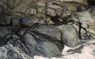 Lower Adobe FallsSan Diego County, CA12 miSE
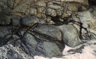 Adobe FallsSan Diego County, CA12 miSE
- Africa Rocks WaterfallSan Diego County, CA13 miS
- El Salto FallsSan Diego County, CA19 miN
- Cedar Creek FallsResearched visit notes80 ft (Forest Service) · San Diego County, CA26 miE
- Mildred FallsDistant view from a national forest trailSan Diego County, CA27 miE
- Washtub FallsSan Diego County, CA28 miNE
- Three Sisters WaterfallsResearched visit notesSan Diego County, CA29 miE
- Upper Barker Valley FallsSan Diego County, CA35 miNE