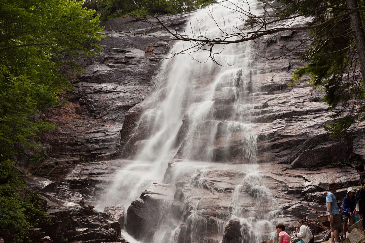
Arethusa Falls
138 ft (42 m) · Carroll County, NH
106 named waterfalls in 9 counties. Browse mapped locations and recorded heights. A map listing does not confirm public access or a walking route.
Read the walking route, starting point and current access notes.
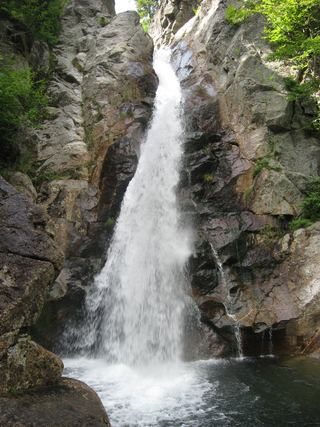 Glen Ellis FallsNational forest scenic area; short trail with stone steps; parking fee64 ft (19.5 m) · Coos County, NH
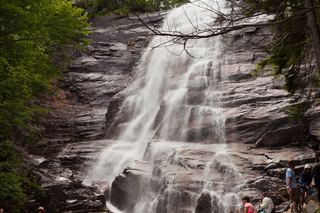 Arethusa FallsMaintained state park trail to a tall waterfall138 ft (42 m) · Carroll County, NH
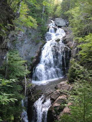 Crystal Cascades FallsNational forest trail to an overlook69 ft (21 m) · Coos County, NH
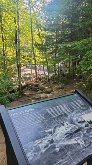 Diana's BathsResearched visit notesCarroll County, NH
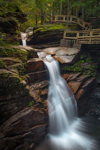 Sabbaday FallsSeasonal partial trail closureGrafton County, NH
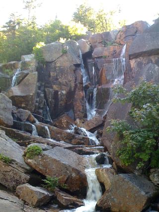 Zealand FallsRoute and parking documented; confirm current conditions.Grafton County, NH
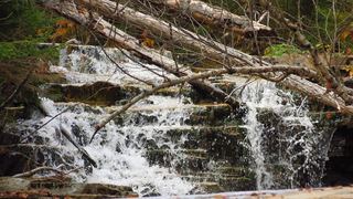 Bemis FallsPartial guide: the route is confirmed, but which drop is called Bemis Falls is uncertainCarroll County, NH
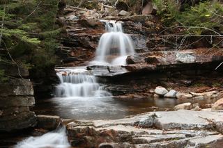 Coliseum FallsState park trail; short walk on Bemis Brook TrailCarroll County, NH
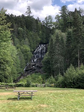 Beaver Brook FallsState wayside; roadside viewCoos County, NH
138 ft (42 m) · Carroll County, NH
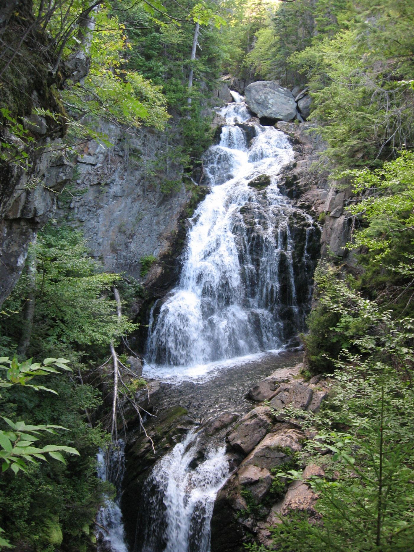
69 ft (21 m) · Coos County, NH
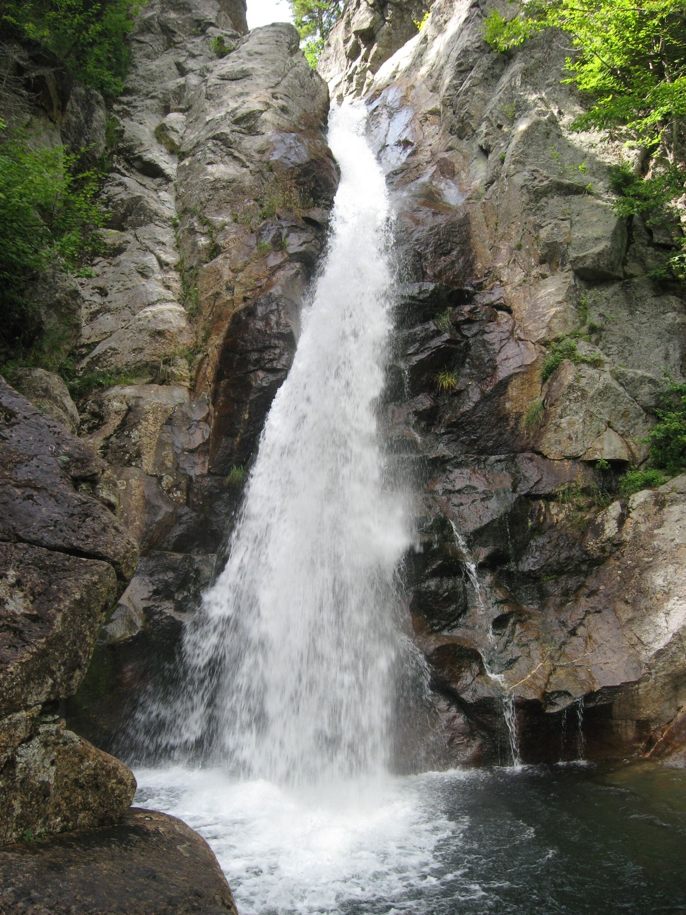
64 ft (19.5 m) · Coos County, NH
Sabbaday FallsSeasonal partial trail closureGrafton CountyZealand FallsRoute and parking documented; confirm current conditions.Grafton CountyArethusa FallsMaintained state park trail to a tall waterfall138 ft (42 m) · Carroll CountyBemis FallsPartial guide: the route is confirmed, but which drop is called Bemis Falls is uncertainCarroll CountyColiseum FallsState park trail; short walk on Bemis Brook TrailCarroll CountyDiana's BathsResearched visit notesCarroll CountyBeaver Brook FallsState wayside; roadside viewCoos CountyCrystal Cascades FallsNational forest trail to an overlook69 ft (21 m) · Coos CountyGlen Ellis FallsNational forest scenic area; short trail with stone steps; parking fee64 ft (19.5 m) · Coos County