Chandler Gorge
Carroll County, New Hampshire
Your visit at a glance
- Waterfall height
- Not recorded
- Location
- Carroll County, New Hampshire
- Access status
- National forest trails and a signed side loop
- The walk
- About 1.6 miles each way (estimate)
- Ground & access
- Moderate. Rocky trail, a steep sidehill section, ledges beside the brook and a flume edge. Wet ledges are slippery.
Chandler Gorge is a small flume and series of cascades and pools on Chandler Brook at the foot of the Baldfaces, in the White Mountain National Forest in Chatham. Cross NH 113 with care from the Baldface Trailhead and take the Baldface Circle Trail. At 0.7 miles you reach Circle Junction, where a short side trail goes to Emerald Pool. Take the south branch of the Baldface Circle Trail, which climbs to an old logging road. A side loop to Chandler Gorge leaves from it at a Chatham Trails Association sign. The loop descends into a hardwood ravine to open ledge slabs on Chandler Brook, then climbs past a flume. A short spur to the left leads to a Chandler Gorge sign and a ledge looking down at cascades and pools. Just before that sign the loop turns sharply right; a false path continues up the ravine. The loop rejoins the Baldface Circle Trail higher up. The route description dates from 2012.
Plan your visit
Baldface Trailhead on NH 113, Baldface Circle Trail past the Emerald Pool junction, south branch to the Chandler Gorge side loop
New England Waterfalls estimates 1.6 miles one way. The Forest Service gives 0.7 miles from the trailhead to the Emerald Pool side trail, which is passed on the way.
Moderate. Rocky trail, a steep sidehill section, ledges beside the brook and a flume edge. Wet ledges are slippery.
Where to start
Baldface Trailhead on NH 113 in Chatham, room for about 15 cars; it overflows on weekends and holidays. Forest Service coordinates: 44.238373, -71.016777.
Timing & water
New England Waterfalls notes the falls may be seasonal and the loop may be overgrown.
Before you go
The Baldface Trailhead is not on the White Mountain National Forest list of fee sites.
Visitor informationVisit sources
More waterfalls nearby
Within 40 straight-line miles. Road and trail distances will differ.
- Emerald PoolResearched route and starting areaCarroll County, NH0.6 miNE
- Brickett FallsNational forest trail from a small roadside trailheadCarroll County, NH1.3 miN
- Hermit FallsNational forest trail and short loopCoos County, NH3.2 miN
- Mad River FallsGuidebook route with matching coordinates; seasonal roadOxford County, ME4.2 miNE
- Kees FallsNational forest trail route and trailhead documentedOxford County, ME8.9 miNE
- Jackson FallsTown-owned roadside falls; 2-hour parking108 ft (33 m) · Carroll County, NH8.9 miSW
- Thompson FallsResearched route and starting areaCoos County, NH9.8 miW
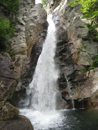 Glen Ellis FallsNational forest scenic area; short trail with stone steps; parking fee64 ft (19.5 m) · Coos County, NH11 miW
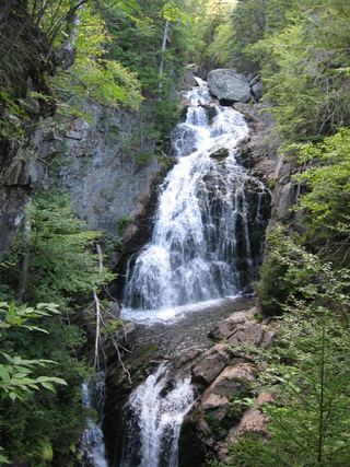 Crystal Cascades FallsNational forest trail to an overlook69 ft (21 m) · Coos County, NH11 miW