Waterfalls near Moultonborough, NH
47 named waterfalls within 30 miles of Moultonborough, closest first. Distances are straight-line from the town center.
Visits with route details
Read the walking route, starting point and current access notes.
- Roaring FallsPartial guide: LRCT lists a closed trail section near the Brook Walk whose exact location was not confirmedCarroll County, NH
- Twin FallsPartial guide: LRCT lists a closed trail section near the Brook Walk whose exact location was not confirmedCarroll County, NH
- Whittier FallsPartial guide: LRCT lists closed trail sections near the Brook Walk whose exact location was not confirmedCarroll County, NH
- The CascadesPartial guide: conservation area trail; the name The Cascades is not used by the sourcesCarroll County, NH
- Emerald Pool FallsPartial guide: LRCT lists a closed trail section near the Brook Walk whose exact location was not confirmedCarroll County, NH
- Bridal Veil FallsPartial guide: LRCT lists a closed trail section near the Brook Walk whose exact location was not confirmedCarroll County, NH
- Falls of SongPartial guide: LRCT lists a closed trail section near the Brook Walk whose exact location was not confirmed50 ft (15.2 m) · Carroll County, NH
- Lower FallsPartial: town park trail; this listing is probably the lower Beede fallsCarroll County, NH
- Beede FallsRoute and parking researchedCarroll County, NH
- Great FallsMarked trail through permitted private land into the national forest15 ft (4.6 m) · Carroll County, NH
- Fletcher CascadesNational forest trail into the Sandwich Range WildernessGrafton County, NH
- Livermore FallsPartial guide: state forest trail to a beach below the falls; view of the falls from there not confirmedGrafton County, NH
- Norway RapidsLocal trail network; distance not publishedGrafton County, NH
- Champney FallsRoute and parking researchedCarroll County, NH
- Pitcher FallsRoute and parking researchedCarroll County, NH
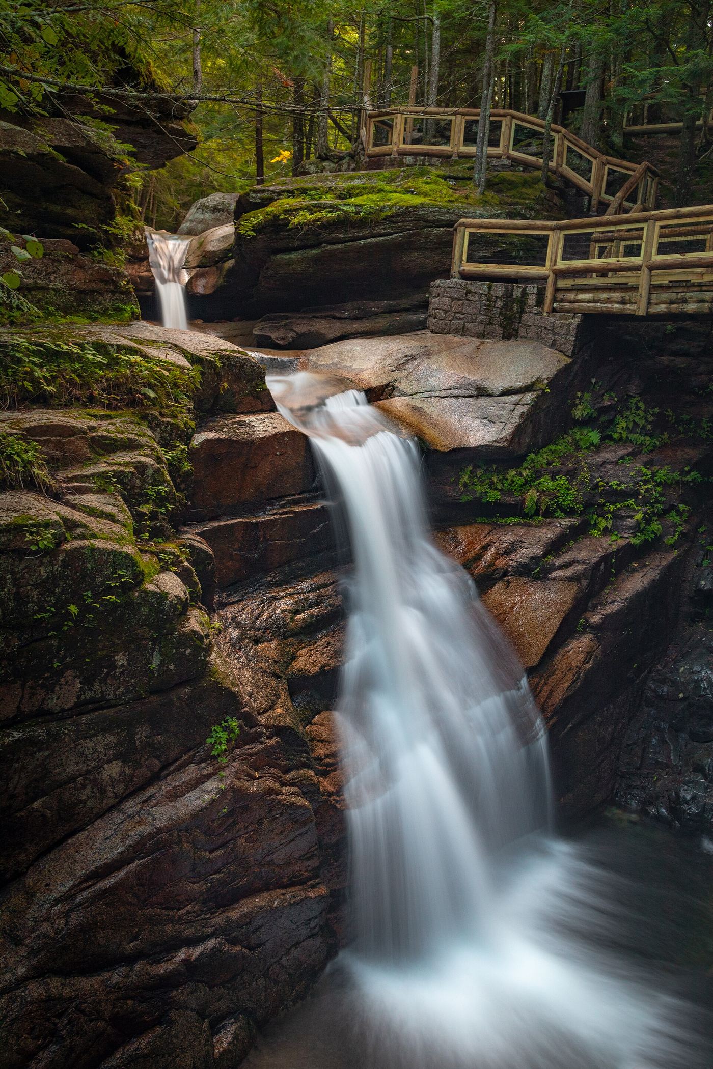
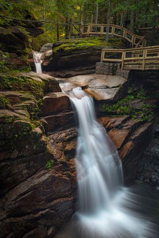 Sabbaday FallsSeasonal partial trail closureGrafton County, NH
- Profile FallsPartial guide: authorized parking for the walk was not confirmedGrafton County, NH
- Sculptured RocksShort state natural area trail to a bridge over the gorgeGrafton County, NH
- Welton FallsState forest trail from AMC Cardigan Lodge; stream crossingGrafton County, NH
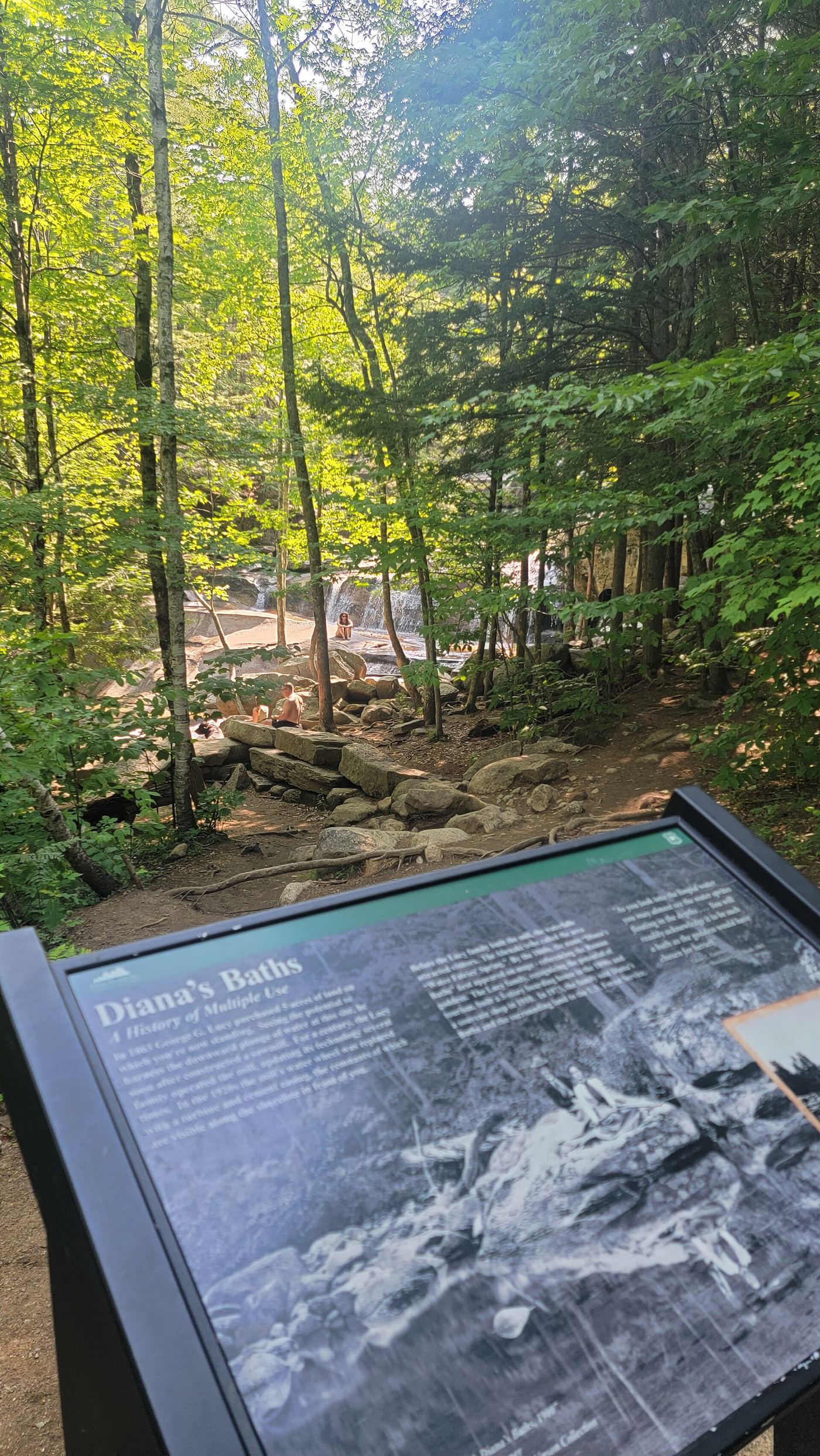
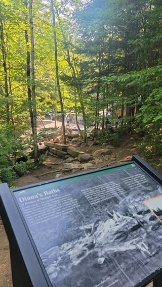 Diana's BathsResearched visit notesCarroll County, NH
- Upper Nancy CascadesPartial: trail to the cascades documented; which upper level this listing marks is not confirmed16 ft (5 m) · Carroll County, NH
- Middle Nancy CascadesPartial guide: national forest trail; which section is called Middle Nancy Cascades is not confirmed33 ft (10 m) · Carroll County, NH
- Lower Nancy CascadesForest Service trail to the base of a tall cascade82 ft (25 m) · Carroll County, NH
- Waternomee FallsSigned spur off the Carr Mountain Trail; faint final sectionGrafton County, NH
- Franconia FallsLincoln Woods approach closed through November 2026Grafton County, NH
- Elizabeth FallsPartial guide: distance is an estimate and lodge parking rules are not confirmedGrafton County, NH
- Georgiana FallsWell-used path in a state forest to a lower fallsGrafton County, NH
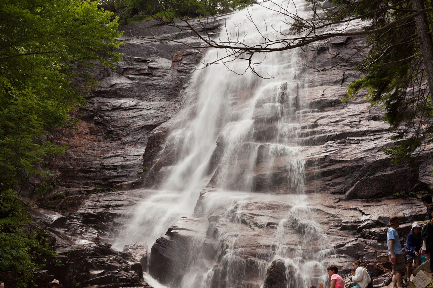
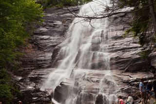 Arethusa FallsMaintained state park trail to a tall waterfall138 ft (42 m) · Carroll County, NH
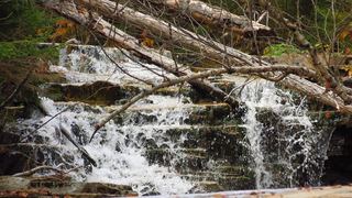 Bemis FallsPartial guide: the route is confirmed, but which drop is called Bemis Falls is uncertainCarroll County, NH
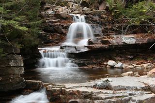 Coliseum FallsState park trail; short walk on Bemis Brook TrailCarroll County, NH
- Fawn PoolShort state park trail to a signed poolCarroll County, NH
- Gordon FallsPartial: falls on a mountain trail; lower trailhead parking blocked; distance to the falls not statedGrafton County, NH
- Paradise FallsPaid seasonal attraction; closed until May 2027Grafton County, NH
- Avalanche FallsState park paid loop trail; closed for the seasonGrafton County, NH
- Ripley FallsShort maintained trail in Crawford Notch State ParkCarroll County, NH
- Swans FallsPartial guide: paddling access and fee documented; no walking viewpoint describedOxford County, ME
- Thoreau FallsNational forest wilderness trail from a fee trailhead80 ft (24.4 m) · Grafton County, NH
- Kinsman FallsState park trail; about half a mile from The Basin20 ft (6.1 m) · Grafton County, NH
- Jackson FallsTown-owned roadside falls; 2-hour parking108 ft (33 m) · Carroll County, NH
- Cloudland FallsPartial: trail rerouted at the falls in September 2026; new distance not published79 ft (24 m) · Grafton County, NH
- Thirteen FallsLincoln Woods approach closed June–November 2026; alternative approach and parking unverified.Grafton County, NH
Closest with a photo
All 47 waterfalls
- Roaring FallsPartial guide: LRCT lists a closed trail section near the Brook Walk whose exact location was not confirmedCarroll County, NH4.1 miSE
- Twin FallsPartial guide: LRCT lists a closed trail section near the Brook Walk whose exact location was not confirmedCarroll County, NH4.2 miSE
- Whittier FallsPartial guide: LRCT lists closed trail sections near the Brook Walk whose exact location was not confirmedCarroll County, NH4.2 miSE
- The CascadesPartial guide: conservation area trail; the name The Cascades is not used by the sourcesCarroll County, NH4.3 miSE
- Emerald Pool FallsPartial guide: LRCT lists a closed trail section near the Brook Walk whose exact location was not confirmedCarroll County, NH4.4 miSE
- Bridal Veil FallsPartial guide: LRCT lists a closed trail section near the Brook Walk whose exact location was not confirmedCarroll County, NH4.4 miSE
- Falls of SongPartial guide: LRCT lists a closed trail section near the Brook Walk whose exact location was not confirmed50 ft (15.2 m) · Carroll County, NH4.4 miSE
- Lower FallsPartial: town park trail; this listing is probably the lower Beede fallsCarroll County, NH6.8 miNW
- Beede FallsRoute and parking researchedCarroll County, NH6.9 miNW
- Lower FallsCarroll County, NH10 miN
- Great FallsMarked trail through permitted private land into the national forest15 ft (4.6 m) · Carroll County, NH10 miN
- Fletcher CascadesNational forest trail into the Sandwich Range WildernessGrafton County, NH13 miN
- Livermore FallsPartial guide: state forest trail to a beach below the falls; view of the falls from there not confirmedGrafton County, NH14 miW
- Norway RapidsLocal trail network; distance not publishedGrafton County, NH15 miN
- Champney FallsRoute and parking researchedCarroll County, NH16 miN
- Pitcher FallsRoute and parking researchedCarroll County, NH16 miN
- Mill Brook CascadeGrafton County, NH16 miNW
- Sabbaday FallsSeasonal partial trail closureGrafton County, NH17 miN
- Profile FallsPartial guide: authorized parking for the walk was not confirmedGrafton County, NH21 miSW
- Sculptured RocksShort state natural area trail to a bridge over the gorgeGrafton County, NH23 miW
- Welton FallsState forest trail from AMC Cardigan Lodge; stream crossingGrafton County, NH24 miW
- Diana's BathsResearched visit notesCarroll County, NH25 miNE
- Upper Nancy CascadesPartial: trail to the cascades documented; which upper level this listing marks is not confirmed16 ft (5 m) · Carroll County, NH25 miN
- Middle Nancy CascadesPartial guide: national forest trail; which section is called Middle Nancy Cascades is not confirmed33 ft (10 m) · Carroll County, NH25 miN
- Lower Nancy CascadesForest Service trail to the base of a tall cascade82 ft (25 m) · Carroll County, NH25 miN
- Waternomee FallsSigned spur off the Carr Mountain Trail; faint final sectionGrafton County, NH25 miNW
- Dusk FallsGrafton County, NH26 miNW
- Franconia FallsLincoln Woods approach closed through November 2026Grafton County, NH26 miN
- Elizabeth FallsPartial guide: distance is an estimate and lodge parking rules are not confirmedGrafton County, NH26 miW
- Georgiana FallsWell-used path in a state forest to a lower fallsGrafton County, NH27 miNW
- Harvard FallsGrafton County, NH27 miNW
- Arethusa FallsMaintained state park trail to a tall waterfall138 ft (42 m) · Carroll County, NH27 miN
- Bemis FallsPartial guide: the route is confirmed, but which drop is called Bemis Falls is uncertainCarroll County, NH27 miN
- Coliseum FallsState park trail; short walk on Bemis Brook TrailCarroll County, NH27 miN
- Fawn PoolShort state park trail to a signed poolCarroll County, NH27 miN
- Gordon FallsPartial: falls on a mountain trail; lower trailhead parking blocked; distance to the falls not statedGrafton County, NH27 miNW
- Paradise FallsPaid seasonal attraction; closed until May 2027Grafton County, NH27 miNW
- Avalanche FallsState park paid loop trail; closed for the seasonGrafton County, NH27 miNW
- Ripley FallsShort maintained trail in Crawford Notch State ParkCarroll County, NH28 miN
- Swans FallsPartial guide: paddling access and fee documented; no walking viewpoint describedOxford County, ME28 miNE
- Thoreau FallsNational forest wilderness trail from a fee trailhead80 ft (24.4 m) · Grafton County, NH29 miN
- Kinsman FallsState park trail; about half a mile from The Basin20 ft (6.1 m) · Grafton County, NH29 miNW
- Jackson FallsTown-owned roadside falls; 2-hour parking108 ft (33 m) · Carroll County, NH29 miN
- Cloudland FallsPartial: trail rerouted at the falls in September 2026; new distance not published79 ft (24 m) · Grafton County, NH30 miNW
- Swiftwater FallsGrafton County, NH30 miNW