Lower Nancy Cascades
Carroll County, New Hampshire
Your visit at a glance
- Waterfall height
- 82 ft (25 m)
- Location
- Carroll County, New Hampshire
- Access status
- Forest Service trail to the base of a tall cascade
- The walk
- About 4.8 miles return
- Ground & access
- Gradual old roads, then a jumble of boulders from storm washouts and two brook crossings. Above the base the trail is very steep and rough.
The lower Nancy Cascades is a 45-foot fanning horsetail into a pool on Nancy Brook in White Mountain National Forest. The Nancy Pond Trail follows old logging roads for most of the first 1.9 miles, crosses Nancy Brook at about 1.6 miles and again later, then reaches the base of the cascades. Only the lower drop is visible from the base. Above it the trail climbs steeply beside more of the cascades.
Plan your visit
Nancy Pond Trailhead on US 302, Nancy Pond Trail to the base of the lower Nancy Cascades
The Forest Service says Nancy Cascade is reached at 2.4 miles on the Nancy Pond Trail. New England Waterfalls gives 2.5 miles.
Gradual old roads, then a jumble of boulders from storm washouts and two brook crossings. Above the base the trail is very steep and rough.
Where to start
Small trailhead on the west side of US 302, 2.8 miles north of the Sawyer Rock Picnic Area.
Timing & water
Brook crossings depend on water level.
Before you go
No fee is mentioned. Campfires are not allowed in the Nancy Brook Research Natural Area.
Visitor informationVisit sources
More waterfalls nearby
Within 40 straight-line miles. Road and trail distances will differ.
- Middle Nancy CascadesPartial guide: national forest trail; which section is called Middle Nancy Cascades is not confirmed33 ft (10 m) · Carroll County, NH0.0 miW
- Upper Nancy CascadesPartial: trail to the cascades documented; which upper level this listing marks is not confirmed16 ft (5 m) · Carroll County, NH0.1 miW
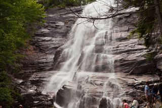 Arethusa FallsMaintained state park trail to a tall waterfall138 ft (42 m) · Carroll County, NH2.2 miN
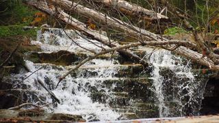 Bemis FallsPartial guide: the route is confirmed, but which drop is called Bemis Falls is uncertainCarroll County, NH2.2 miN
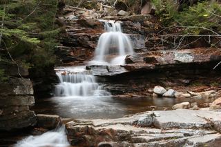 Coliseum FallsState park trail; short walk on Bemis Brook TrailCarroll County, NH2.3 miN
- Fawn PoolShort state park trail to a signed poolCarroll County, NH2.3 miN
- Ripley FallsShort maintained trail in Crawford Notch State ParkCarroll County, NH3.2 miN
- Thoreau FallsNational forest wilderness trail from a fee trailhead80 ft (24.4 m) · Grafton County, NH5.7 miNW
- Flume CascadeRoadside falls in Crawford Notch State ParkCarroll County, NH6.5 miN