Sabbaday Falls
Grafton County, New Hampshire
Your visit at a glance
- Waterfall height
- Not recorded
- Location
- Grafton County, New Hampshire
- Access status
- Seasonal partial trail closure
- The walk
- Gravel approach and stone stairs
- Ground & access
- Evenly graded gravel approach; stone staircase at the falls.
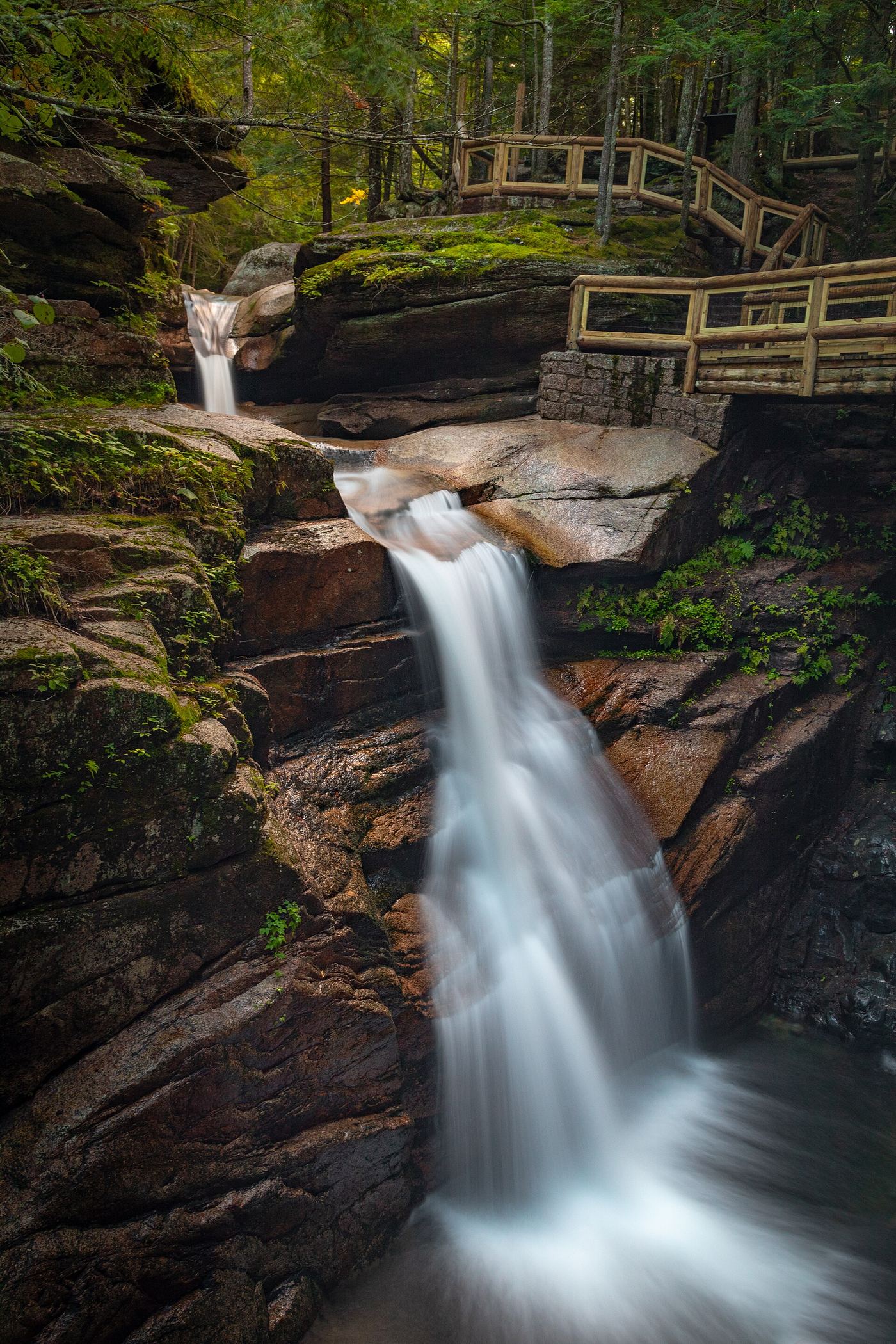
Follow the graded gravel path to the falls viewing area. Swimming is prohibited.
Plan your visit
Sabbaday Falls observation trail
Numeric distance not established from the opened visitor page.
Evenly graded gravel approach; stone staircase at the falls.
Where to start
Paved parking lot on the Kancamagus Highway, 15 miles west of Conway.
Timing & water
Seasonal partial trail closure November 1-April 15 annually, or as otherwise posted, under signed USFS order R9-22-19-24. Order remains listed on the current USFS orders page, checked 2026-10-27.
Before you go
Fee site spring through fall; no fee collected in winter. Amount and reservation policy unknown.
Visitor informationVisit sources
More waterfalls nearby
Within 40 straight-line miles. Road and trail distances will differ.
- Norway RapidsLocal trail network; distance not publishedGrafton County, NH4.8 miW
- Pitcher FallsRoute and parking researchedCarroll County, NH5.9 miE
- Champney FallsRoute and parking researchedCarroll County, NH5.9 miE
- Fletcher CascadesNational forest trail into the Sandwich Range WildernessGrafton County, NH6.4 miSW
- Great FallsMarked trail through permitted private land into the national forest15 ft (4.6 m) · Carroll County, NH7.5 miSW
- Lower FallsCarroll County, NH7.6 miSW
- Upper Nancy CascadesPartial: trail to the cascades documented; which upper level this listing marks is not confirmed16 ft (5 m) · Carroll County, NH8.4 miN
- Middle Nancy CascadesPartial guide: national forest trail; which section is called Middle Nancy Cascades is not confirmed33 ft (10 m) · Carroll County, NH8.4 miN
- Lower Nancy CascadesForest Service trail to the base of a tall cascade82 ft (25 m) · Carroll County, NH8.4 miN